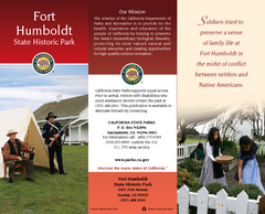
Fort Humboldt State Historic Park Map
Map of park with detail of trails and recreation zones
269 miles away
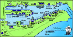
Channel Islands Harbor, California Map
Tourist map of Channel Islands Harbor, California. Shows water taxi stops, restaurants, parks, and...
270 miles away
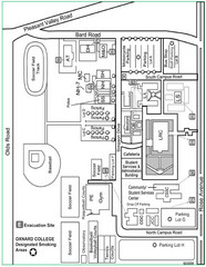
Oxnard College Map
271 miles away
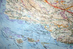
Oxnard California Fault Lines Map
FAULT MAP OF THE SANTA BARBARA TO OXNARD COASTAL AREA THE MESA-RINCON CREEK FAULT LIES DIRECTLY...
271 miles away
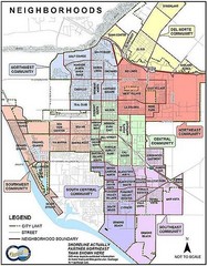
Oxnard California Neighborhoods Map
Neighborhoods: * Del Norte District o El Rio o El Rio West o...
271 miles away
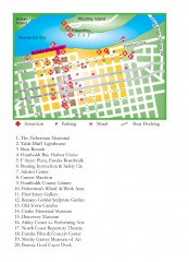
Old Town, Eureka, California Map
Tourist map of the Old Town area of Eureka, California. Shows various attractions including murals...
271 miles away
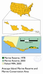
Anacapa Island Marine Reserve Map
273 miles away
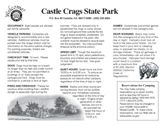
Castle Crags State Park Map
Map of park with detail of trails and recreation zones
276 miles away
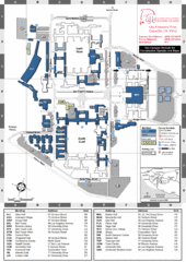
California State University Channel Islands Map
Campus Map
277 miles away
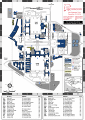
California State University Channel Islands...
Campus map of California State University Channel Islands (CSUCI).
277 miles away
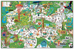
Six Flags Magic Mountain Theme Park Map
Official park map of Six Flags Magic Mountain, California.
282 miles away
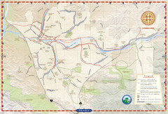
Santa Clarita Trail Map
286 miles away
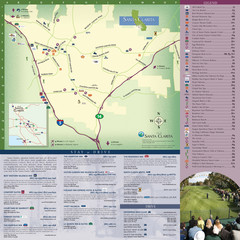
Santa Clarita Tourist Map
Tourist map of Santa Clarita, California
286 miles away
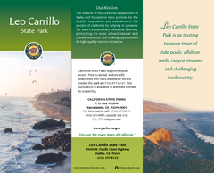
Leo Carrillo State Park Map
Map of park with detail of trails and recreation zones
287 miles away
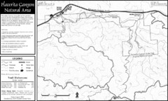
Placerita Canyon Trail Map
287 miles away
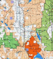
Modoc National Park Map
Visitor Map of Modoc National Park, eastern part. Includes all roads, lakes, camping and boating...
287 miles away
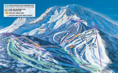
Mt. Shasta Ski Park Ski Trail Map
Official ski trail map of Mount Shasta Ski Park ski area
288 miles away
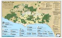
Santa Monica Mountains Area Trail map
Trail map of the Santa Monica Mountains National Recreation Area. Highlights information about...
290 miles away
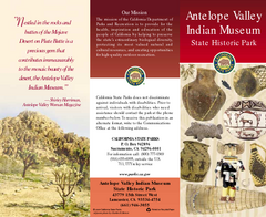
Antelope Valley State Park Map
Map of park with detail of of trails and recreation zones
290 miles away
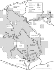
Zuma Trancas Canyon Map
Trail map of Zuma Canyon and Trancas Canyon near Malibu, CA in the Santa Monica Mountains. End of...
291 miles away
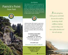
Patrick's Point State Park Map
Map of park with detail of trails and recreation zones
292 miles away

Redwood National Park Map
292 miles away
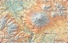
Mt. Shasta Scenic Area map
Great map of the Mt. Shasta region. Shows roads (including 4WD), mountains, lakes, and hiking...
292 miles away
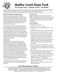
Malibu Creek State Park Campground Map
Map of campground region of park with detail of trails and recreation zones
293 miles away
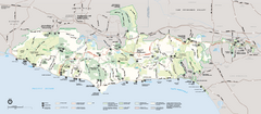
Santa Monica Mountains National Recreation Area...
Map of the entire Santa Monica Mountains National Recreation Area
293 miles away
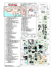
California State University at Northridge Map
Campus Map of the California State University at Northridge. All buildings shown.
294 miles away
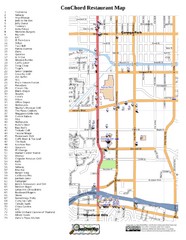
Woodland Hills, California Restaurant Map
294 miles away
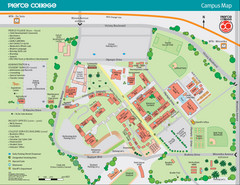
Pierce College Campus Map
Pierce College Campus Map. Located in Woodland Hills, California. Shows all areas.
294 miles away
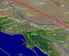
Southern California Fault Lines Map
The red line on this map of southern California is the San Andreas fault. Other lines represent...
296 miles away
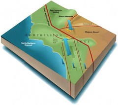
Southern California Compressional Fold Belts Map
Diagram of southern California showing the San Andreas Fault as a master player in a tectonic...
296 miles away
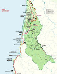
Prairie Crek State Park Map
297 miles away

Burning Map 2005 Map
Artistic representation of Burning Man's Black Rock City.
300 miles away
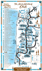
Orick Redwood National Park Map
300 miles away
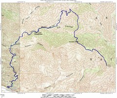
Ybarra Canyon Trail Map
Ybarra Canyon in the Angeles National Forest.
303 miles away
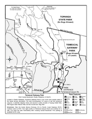
Temescal Canyon Trail Map
Trail map of Temescal Gateway Park, Temescal Canyon, and adjoining section of Topanga State Park...
303 miles away
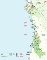
Redwood National Park Map
Official NPS map of Redwood National Park, California. Also shows Jedediah Smith Redwoods State...
303 miles away
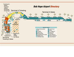
Burbank "Bob Hope" Airport Terminal Map
Official Terminal Map of Bob Hope Airport in Burbank, California. Shows all areas.
303 miles away
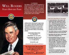
Will Rogers State Historic Park Map
Map of park with detail of trails and recreation zones
303 miles away

Pacific Crest Trail Map
Shows entire route of 2,650 mile Pacific Crest Trail from Mexico to Canada.
305 miles away

