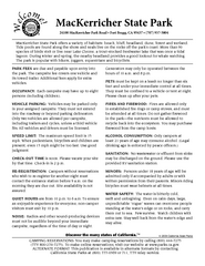
MacKerricher State Park Campground Map
Map of campground region of park with detail of trails and recreation zones
180 miles away
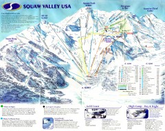
Squaw Valley Ski Trail Map
Scan of ski trail map of Squaw Valley ski area from the 2000-2001 season.
180 miles away
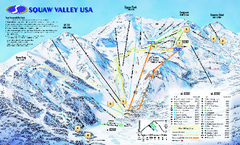
Squaw Valley USA Trail Map
Trail map of Squaw Valley ski area in Lake Tahoe, California
180 miles away
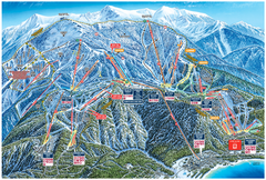
Heavenly Valley Ski Trail Map
Official ski trail map of Heavenly Valley ski area from the 2007-2008 season.
180 miles away

Sierra High Route Map
Guide to the Sierra High Route, one of the most challenging treks in the Sierras
180 miles away
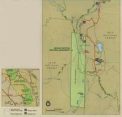
Devil's Postpile National Monument Map
181 miles away
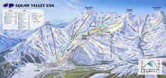
Squaw Valley USA Ski Trail Map
Trail map from Squaw Valley USA, which provides downhill, night, nordic, and terrain park skiing...
181 miles away
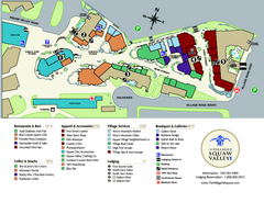
Squaw Valley Base Village Map
Village map of base of Squaw Valley Ski Resort, Lake Tahoe, California. Shows all restaurants...
181 miles away
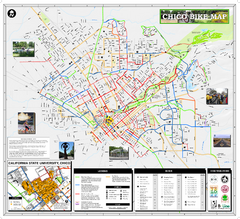
Chico Bike Map
Bicycle route map of Chico, California
181 miles away

Chico, California City Map
182 miles away
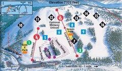
Soda Springs Ski Trail Map
Trail map from Soda Springs, which provides downhill and terrain park skiing. It has 2 lifts...
183 miles away
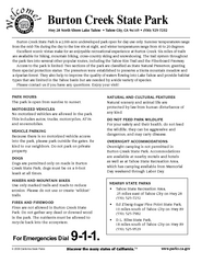
Burton Creek State Park Map
Map of park with detail of trails and recreation zones
183 miles away
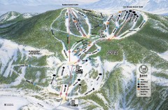
June Mountain Ski Trail Map
Official ski trail map of June Mountain ski area from the 2007-2008 season.
183 miles away
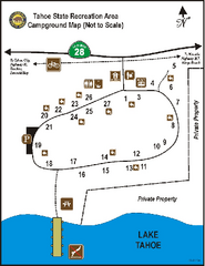
Tahoe State Recreation Area Campground Map
Map of park with detail of trails and recreation zones
183 miles away
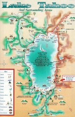
Lake Tahoe and nearby activities Map
Lake Tahoe and nearby resorts and activities
183 miles away
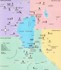
Lake Tahoe Area, California Map
Recreation map of Lake Tahoe, California. Points of interest shown include golfing, skiing, and...
183 miles away
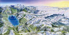
Lake Tahoe Ski Resort map
Winter map of Lake Tahoe showing relative position of all ski resorts. South-facing view. Created...
183 miles away
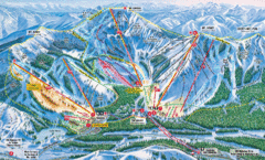
Sugar Bowl Resort Ski Trail Map
Trail map from Sugar Bowl Resort, which provides downhill and terrain park skiing. It has 12 lifts...
183 miles away

Digital Elevation Model Satellite Tahoe Map
Digital Elevation Models
183 miles away
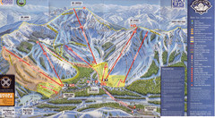
Sugar Bowl Ski Trail Map
Ski trail map of Sugar Bowl ski area from the 2008-09 season. Scanned.
183 miles away
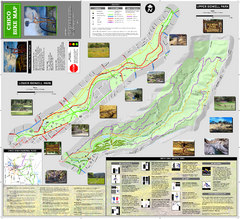
Upper and Lower Bidwell Park Bike Map
Bike map of Upper Bidwell Park and Lower Bidwell Park in Chico, California
184 miles away
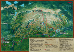
Mammoth Mountain Bike Park Map
Shows all trails at the Mammoth Mountain Bike Park.
184 miles away

Mammoth Mountain Ski Trail Map
Trail map from Mammoth Mountain, which provides downhill, nordic, and terrain park skiing. It has...
184 miles away
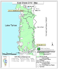
East Shore Lake Tahoe Off-highway Vehicle Map
Off-highway vehicle map of the East Shore of Lake Tahoe, California. Shows roads open to...
184 miles away
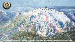
Mammoth Mountain Ski Trail map 2005
Official ski trail map of Mammoth Mountain ski area from the 2005-2006 season.
184 miles away
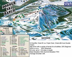
Donner Ski Ranch Ski Trail Map
Trail map from Donner Ski Ranch, which provides downhill and terrain park skiing. It has 6 lifts...
184 miles away

San Joaquin Valley Air Basin Map
This map is used to track air monitoring locations in periodic progress reports.
184 miles away
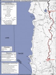
Tahoe Rim Trail: Spooner Summit to Kingsbury...
Topographic hiking map of the Spooner Summit-Kingsbury North leg of the Tahoe Rim Trail. Bike and...
184 miles away
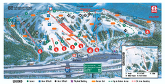
Boreal Ski Trail Map
Official ski trail map of Boreal ski area
184 miles away
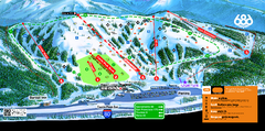
Boreal Mountain Resort Ski Trail Map
Trail map from Boreal Mountain Resort, which provides downhill, night, and terrain park skiing. It...
184 miles away

Mammoth Mountain Downhill Skiing Trails Map
Downhill skiing trails on Mammoth Mountain, near Mammoth Lakes, California. Shows trails and their...
186 miles away
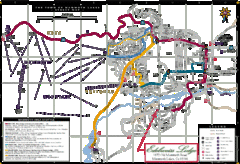
Mammoth Town Map
Map of Mammoth, including shuttle lines
186 miles away
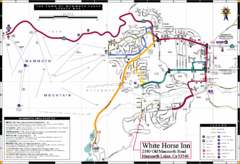
Mammoth Town Map
Town of Mammoth Lakes with shuttle lines included
186 miles away

Colonel Allensworth State Historic Park Map
Map of park with detail of trails and recreation zones
186 miles away
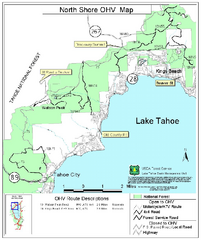
North Shore Lake Tahoe Off-Highway Vehicle Map
Off-highway vehicle map of the area around the North shore of Lake Tahoe. Roads open to motorcycles...
186 miles away
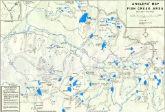
Fish Creek Area Anglers' Map
Hand-drawn fishing map of lakes, peaks, and trails in the Fish Creek Area of the John Muir...
187 miles away
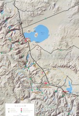
Eastern Sierra Trailhead Map - Lee Vining and...
Shows ranger stations and major trailheads in the eastern Sierra Nevada in the Mono Lake and...
187 miles away
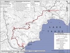
Tahoe Rim Trail: Tahoe City to Brockway Summit Map
Topographic hiking map of the Tahoe City-Brockway Summit leg of the Tahoe Rim Trail. Shows trail...
187 miles away
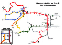
Mammoth Transit Map
Map of Mammoth transit system
187 miles away


