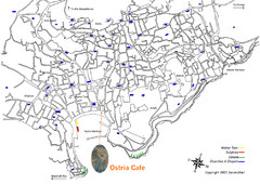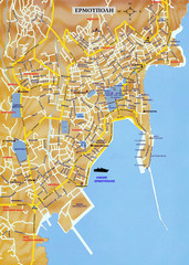
Ermoupolis Map
479 miles away
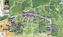
Kalamaki Zakynthos Tourist Map
Tourist map of town of Kalamaki on Zakynthos Island. Scanned.
479 miles away
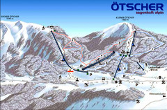
Ötscher Lackenhof Ski Trail Map
Trail map from Ötscher Lackenhof.
480 miles away
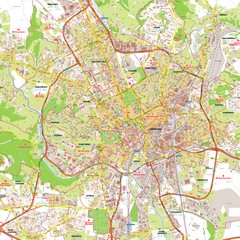
Brno Tourist Map
Tourist map of Brno, Czech Republic. Shows central Brno and surrounding area.
480 miles away
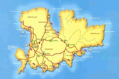
Mykonos Bus Tour Map
481 miles away
World Music Map
A world map made out of musical notation.
482 miles away
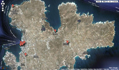
Mykonos Attractions Map
Mykonos Gold is the best travel guide of Mykonos island Greece. Here is the map of a variety of...
482 miles away
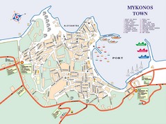
Mykonos Town Map
Tourist map of the town of Mykonos on the island of Mykonos, Greece. Shows points of interest.
482 miles away
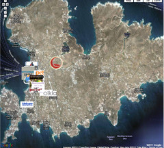
Mykonos Gold Map
482 miles away
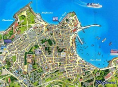
Mykonos Town Map
482 miles away
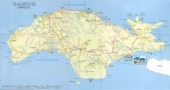
Samos Tourist Map
Tourist map of the island of Samos, Greece. Shows points of interest.
482 miles away
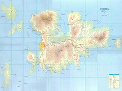
Mykonos Island Map
Also shows Delos Island and Rinia Island.
482 miles away
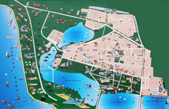
Saki Tourist Map
Tourist map of Saki, Ukraine. Shows points of interest.
484 miles away
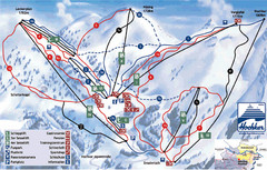
Hochkar Ski Trail Map
Trail map from Hochkar.
487 miles away
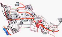
Vysehrad Tourist Map
489 miles away

Ukraine Places of Interest Map
Overview map of Ukraine. Shows places of interest. Inset map shows administrative and territorial...
491 miles away
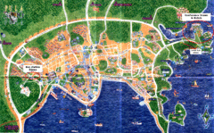
Pula Tourist Map
Tourist map of Pula, Croatia. Bus station highlighted. Scanned.
492 miles away
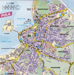
Pula City Map
City map of Pula, Croatia. Shows major streets.
492 miles away
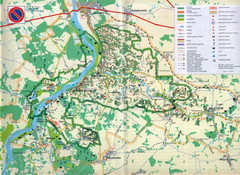
Kazimierski Landscape Park Map
Part of one of main ecological corridors in Europe enabling the birds to nest and migrate.
492 miles away
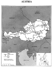
Austria Tourist Map
497 miles away
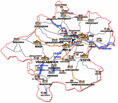
Austria Tourist Map
497 miles away
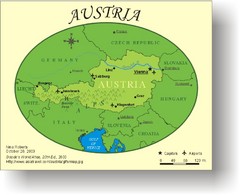
Austria Tourist Map
497 miles away
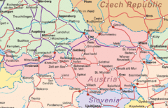
Austria Tourist Map
497 miles away
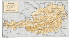
Austria Tourist Map
497 miles away
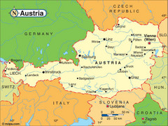
Austria Tourist Map
497 miles away
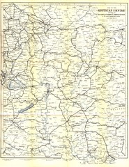
Austrial Empire Map
Historical map of the Austrian Empire. Includes some roads, rivers, towns, railways and steamboat...
497 miles away
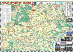
Zwolen_county_folded_map_POLAND Map
Zwolen county, paper folded map Scale 1: 70 000 Projection UTM/WGS84, GPS compatibile verified...
498 miles away
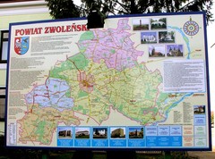
Zwolen county street map
Zwolen county - street map Big size 200 x 300 cm waterproof map
498 miles away
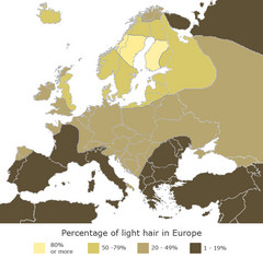
Europe Blond Hair Map
Shows percentage of light hair in Europe.
499 miles away
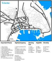
Trieste Map
499 miles away
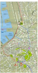
Trieste City Map
City map of Trieste with projects plans.
499 miles away
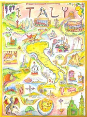
Italy Map
Work of art from my travel sketch books. Watercolor and ink original. Archival quality poster (13...
500 miles away
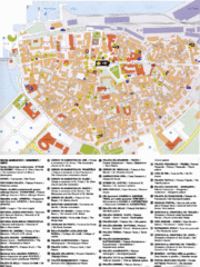
Koper Tourist Map
Tourist map of Koper, Slovenia. Shows 55 tourist sights.
500 miles away
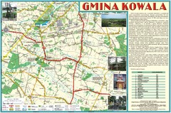
Kowala_Mazovia_poland.jpg Map
Map of Kowala_Mazovia_poland.jpg is a Kowala commune map, created with use of GlobalMapper and...
501 miles away

Silvi Marina environs Map
501 miles away

Silvi Marina centro Map
501 miles away

Silvi Marina commune Map
501 miles away
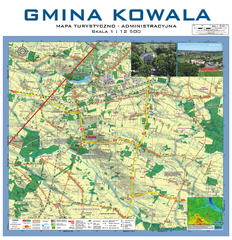
Kowala Commune - near Radom, PL Map
Kowala-Stepocina Commune - the administrative and touristic wall map, scala 1:12500, with 3D effect...
502 miles away
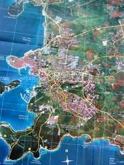
Rovinj Tourist Map
Tourist map of Rovinj, Croatia. Map is based on aerial photo.
502 miles away

