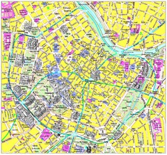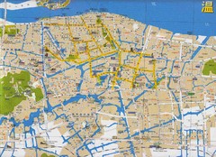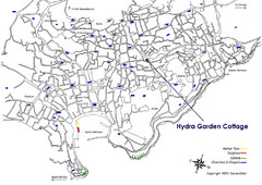
Hydra, Greece Tourist Map
Travel Directions and Map to Hydra, Greece
441 miles away

Pireas Hotels Map
441 miles away

Hydra, Greece Tourist Map
Getting to Hydra Island
442 miles away
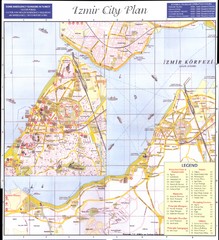
Izmir city plan Map
442 miles away
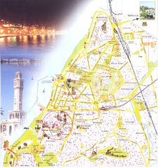
Izmir center Map
443 miles away
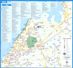
Izmir - Konak Map
443 miles away
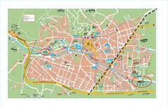
Baden City Map
City map of Baden, Austria. Shows sites of Sommer-Eurovision Sports, to take place in Baden from...
443 miles away
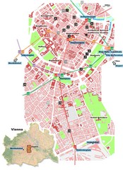
Vienna City Center Map
Map of Vienna city center
444 miles away

Vienna University of Technology Building Map
Building map of the Institute of Software Technology and Interactive Systems at the Vienna...
445 miles away
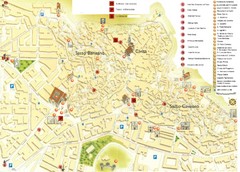
Matera Tourist Map
Tourist map of Matera, Italy. Shows points of interest.
445 miles away
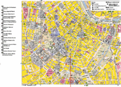
Vienna Tourist Map
Tourist street map of Vienna
445 miles away
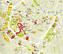
Vienna centre Map
445 miles away
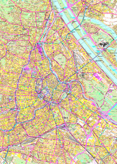
Vienna Street Map
Street map of Vienna, Austria
446 miles away
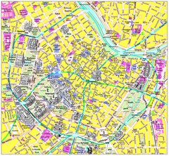
Vienna Inner City Tourist Map
Tourist map of inner city Vienna, Austria. 3D drawings of major buildings and palaces.
446 miles away

Vienna Public Transportation Map
446 miles away
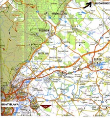
Vienna Airport Map
446 miles away
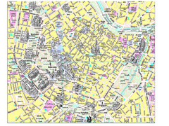
Vienna City Tourist Map
446 miles away

Vienna Metro Map
446 miles away
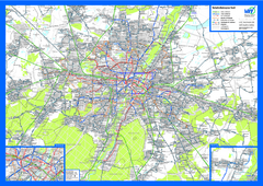
vienna public transport Map
446 miles away
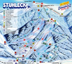
Stuhleck – Spital am Semmering Ski Trail Map
Trail map from Stuhleck – Spital am Semmering, which provides downhill skiing. This ski area...
446 miles away

Graz Tram and Bus Map
Shows 8 tram lines and 23 bus lines in Graz, Austria
446 miles away
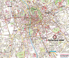
Graz Street Map
Street map of Graz, Austria. Shows main streets.
446 miles away

Novi Vinodolski Street Map
Street map of Novi Vinodolski, Croatia. Scanned.
446 miles away
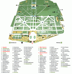
Schonbrunn Palace map
From Wikipedia: Schonbrunn Palace (German: Schloss Schonbrunn) in Vienna is one of the most...
447 miles away
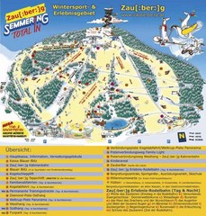
Semmering Ski Trail Map
Trail map from Semmering.
447 miles away
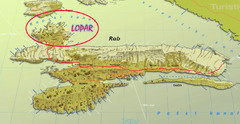
Rab Island Map
Shows beaches on Rab Island, Croatia
447 miles away
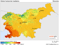
Solar Radiation Map of Slovenia
Solar Radiation Map Based on high resolution Solar Radiation Database: SolarGIS. On the Solar Map...
447 miles away
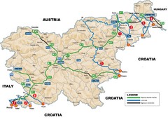
Slovenia Highways Map
447 miles away
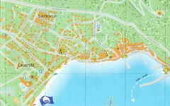
Baska Krk Tourist Map
Tourist map of Baska Krk, Croatia. Scanned.
448 miles away
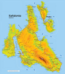
Kefalonia and Ithaka Map
Detailed elevation map of islands of Kefalonia and Ithaka (Ithaki), Greece
449 miles away
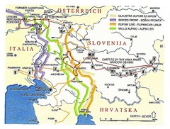
Slovenia Tour Map
449 miles away
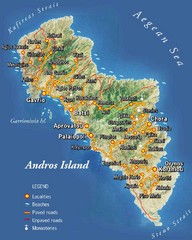
Andros Island Tourist Map
Tourist Map of Andros, Greece showing roads, towns, beaches.
449 miles away
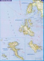
Ionian Islands Map
Overview map of the Greek Ionian Islands including Lefkada, Kefalonia, Zakynthos, Corfu, and Paxo...
450 miles away
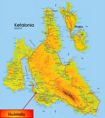
Kefalonia Map
451 miles away
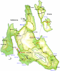
Kefalonia and Ithaka Overview Map
Overview map of the islands of Kefalonia and Ithaka (Ithaki), Greece.
452 miles away

