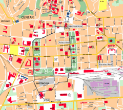
Zagreb Center Map
396 miles away
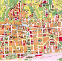
Zagreb Tourist Map
Tourist map of central Zagreb, Croatia. Shows major buildings.
396 miles away
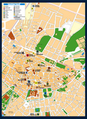
Lecce Tourist Map
Tourist map of historic center of Lecce, Italy. Shows points of interest.
397 miles away
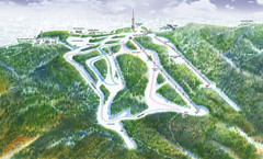
Medvednica Ski Trail Map
Trail map from Medvednica.
398 miles away
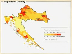
Croatia Population Density Map
Map of Croatia's population density
399 miles away
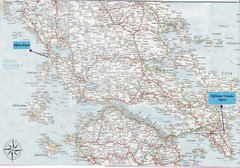
Greece Road Map
Map of Greece with the Aktion and Eleftherios Venizelos Airports marked.
404 miles away
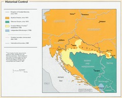
Croatia Historical Control Map
405 miles away
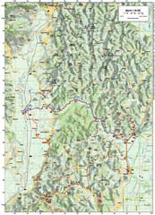
Villages and Sutla River Valley Bike Route Map
Bike routes and trails through the villages to the Sutla River Valley in Croatia. Note: The map...
405 miles away
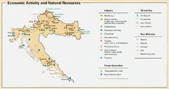
Croatia Economic Activity Map
Map of Croatia's economic activity and natural resources
406 miles away
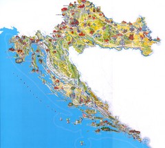
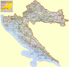
Croatia Tourist Map
Attractions and locations in Croatia
407 miles away
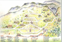
Delphi Tourist Map
Tourist map of Delphi (Delfi), Greece. Shows amenities, nightclubs, bars, cafes, and hotels...
409 miles away
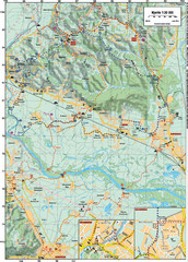
Sulta and Sava Croatia Cycling Route Map
the trails on this map are through picturesque hills to the confluence of the Sutla and Sava Rivers...
409 miles away
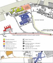
Bratislava Airport Map
413 miles away
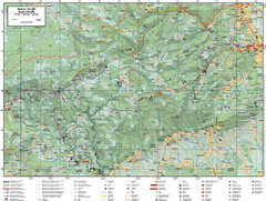
Samobor Region Cycling Route Map
Cycling route map for region west of Samobor, Croatia. Shows all routes in km
414 miles away
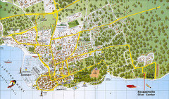
Biograd na Moru Map
415 miles away
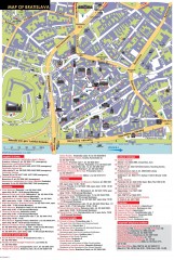
Bratislava Tourist Map
Tourist map of old town Bratislava, Slovakia shows points of interest including museums, galleries...
416 miles away
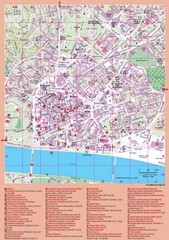
Bratislava Guide Map
416 miles away
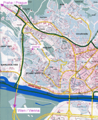
Bratislava Map
Bratislava, Slovakia detail map of streets, train routes and tourist areas.
416 miles away
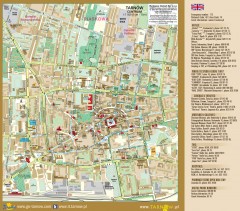
Tarnow Tourist Map
Tourist map of the center of Tarnow, Poland
416 miles away
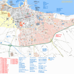
Bari Tourist Map
Tourist map of Bari, Italy. Shows consulates and points of interest.
416 miles away
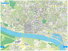
Bratislava Tourist Map
Tourist map of Bratislava, Slovakia. Shows points of interest.
416 miles away
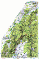
Sulovske vrchy Map
416 miles away
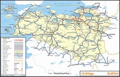
Bursa Region Highways Map
417 miles away

Elevation Profile for Klasik Route Map
Elevation Profile for Klasik Route Map for 2008 for Dubnicky Marathon
417 miles away
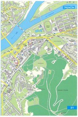
Trencin Tourist Map
Tourist map of Trencin, Slovakia. Shows points of interest.
419 miles away
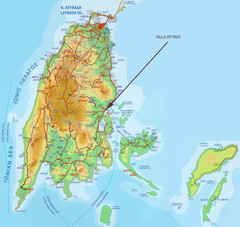
Lefkada Tourist Map
Tourist map of island of Lefkada, Greece.
421 miles away
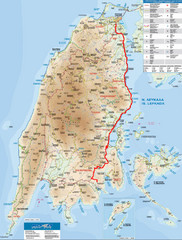
Lefkada Tourist Map
Tourist map of Ionian island of Lefkada, Greece. Shows points of interest. Also shows island of...
421 miles away
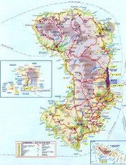
Chios Tourist Map
Tourist map of island of Chios, Greece. Shows points of interest. In Greek. Scanned.
422 miles away
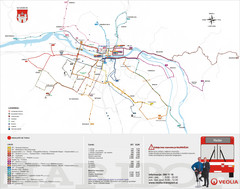
Maribor Bus Map
A map of bus lines in Maribor, Slovenia (Slovenian).
425 miles away
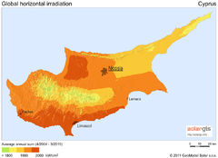
Solar Radiation Map of Cyprus
Solar Radiation Map Based on high resolution Solar Radiation Database: SolarGIS. On the Solar Map...
426 miles away
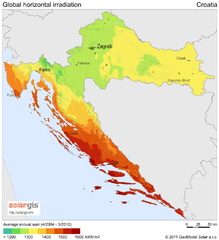
Solar Radiation Map of Croatia
Solar Radiation Map Based on high resolution Solar Radiation Database: SolarGIS. On the Solar Map...
426 miles away
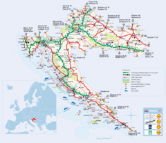
Coratia Tourist Map
Map of Croatia showing roads, international border crossings, parks, airports and ferrys.
426 miles away
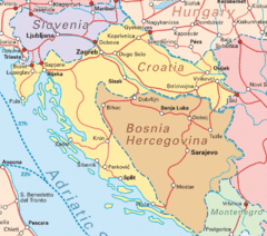
Interrail Routes for Croatia Map
Interrail railway routes for Croatia, Bosnia Hercegovina, Slovenia, and Hungary.
426 miles away
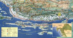
Pag Island Panoramic Map
Shows area around island of Pag, Croatia
428 miles away
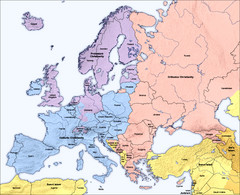
Traditional European Religious Majorities by...
Shows the traditional religious majorities by region in Europe.
428 miles away
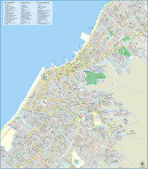
Patra Tourist Map
Tourist map of central Patra, Greece. Shows points of interest.
433 miles away

