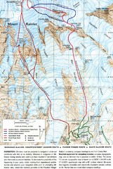
Mount Rainier Topo Map
Map of Mount Rainier Ascent. We ascended the "Muir Snowfield" and then went up the "...
68 miles away

City of Kennewick Map
Simple road map of Kennewick.
68 miles away
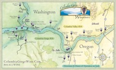
Columbia Gorge Wine Map
Wineries of the Columbia River Gorge area, Oregon.
72 miles away
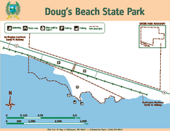
Dougs Beach State Park Map
Map of park with detail of trails and recreation zones
73 miles away
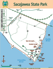
Sacajawea State Park Map
Map of park with detail of trails and recreation zones
73 miles away
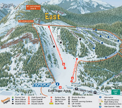
The Summit at Snoqualmie Summit East Ski Trail Map
Trail map from The Summit at Snoqualmie, which provides night and terrain park skiing. It has 30...
73 miles away
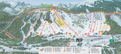
The Summit at Snoqualmie Summit Central Ski Trail...
Trail map from The Summit at Snoqualmie, which provides night and terrain park skiing. It has 30...
73 miles away
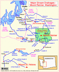
Mount Rainier Major Stream Drainages Map
77 miles away
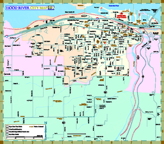
Hood River Map
Tourist map of city of Hood River, Oregon.
80 miles away
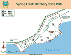
Spring Creek Hatchery State Park map
Map of park with detail of trails and recreation zones
80 miles away
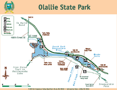
Olallie State Park Map
Map of park with detail of trails and recreation zones
81 miles away
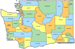
Washington State Counties Map
81 miles away
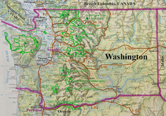
Washington State Road and Recreation Map
81 miles away
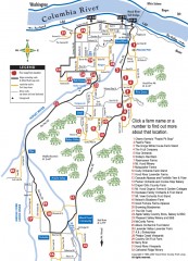
Hood River County Fruit Loop map
35-mile scenic drive through the valley's orchards, forests, farmlands, and friendly...
83 miles away
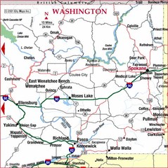
Eastern Washington Road Map
84 miles away
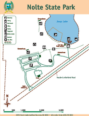
Nolte State Park Map
Map of park with detail of trails and recreation zones
85 miles away
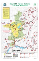
Mt. Saint Helens National Volcanic Monument...
Official recreation map showing all roads, trails, campgrounds, and other facilities. Also shows...
85 miles away
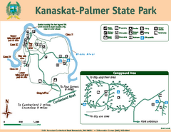
Kanaskat-Palmer State Park Map
Map of park with detail of trails and recreation zones
85 miles away
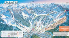
Stevens Pass Ski Trail Map
Official ski trail map of Stevens Pass ski area
85 miles away
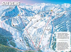
Stevens Pass Ski Area Stevens Pass Mill Valley...
Trail map from Stevens Pass Ski Area, which provides night and terrain park skiing. It has 8 lifts...
85 miles away
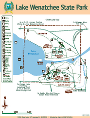
Lake Wenatchee State Park Map
Map of island with detail of trails and recreation zones
85 miles away
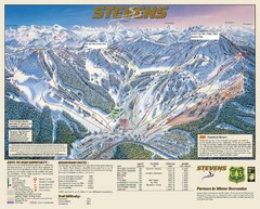
Stevens Pass Trail Map
85 miles away
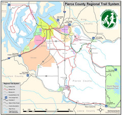
Pierce County Regional Trail Map
County-wide system of trails
86 miles away
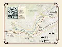
Iron Goat Trail Map
86 miles away
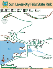
Sun Lakes-Dry Falls State Park Map
Map of park with detail of trails and recreation zones
86 miles away
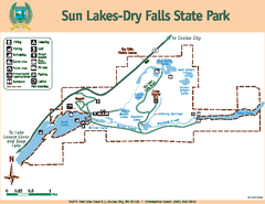
Sun Lakes-Dry Falls State Park Map
Map of park with detail of trails and recreation zones
86 miles away
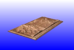
Mount St. Helens carved in wood by carvedmaps.com...
Mount St. Helens carved in wood by carvedmaps.com
87 miles away
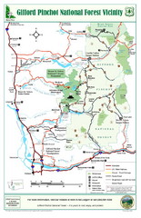
Gifford Pinchot National Forest Vicinity Map
Gifford Pinchot National Forest and surrounding areas including Mt. St Helens.
87 miles away
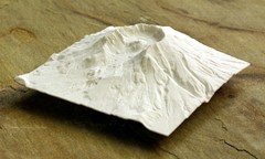
Mt. St. Helens 3D Print Map
This is a 3D-printed map of the cone, crater, and summit of Mt. St. Helens in Washington, USA. It...
87 miles away

Pierce County Washington Map, 1909 Map
87 miles away
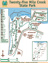
Twenty-Five Mile Creek State Park Map
Map of park with detail of trails and recreation zones
88 miles away
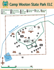
Camp Wooten State Park Map
Map of park with detail of trails and recreation zones
88 miles away
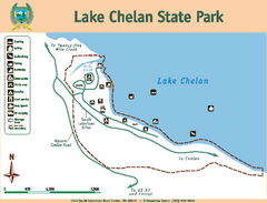
Lake Chelan State Park Map
Map of island with detail of trails and recreation zones
90 miles away
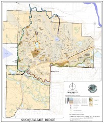
Snoqualmie Trail Map
Shows both soft surface and paved trails for biking, running/hiking/wailking, and horseback riding
91 miles away
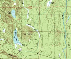
Fuller Mountain Topo Map
Fuller Mountain map with lakes, mountains and elevations identified.
92 miles away
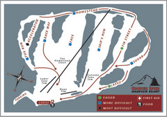
Cooper Spur Ski Area Ski Trail Map
Trail map from Cooper Spur Ski Area.
93 miles away
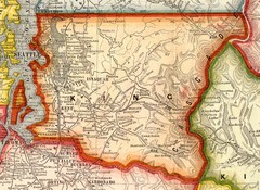
King County Washington, 1909 Map
94 miles away
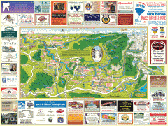
Snoqualmie tourist map
Snoqualmie, Washington tourist map. Shows all businesses.
94 miles away
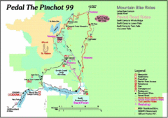
Pedal the Pinchot Bike Ride Route Map
Route Map for the Pedal the Pinchot 99 bike ride - annotated on a Park trail map.
96 miles away
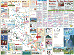
Snoqualmie Valley tourist map
Tourist map of the Snoqualmie Valley, Washington. Shows all businesses.
96 miles away

