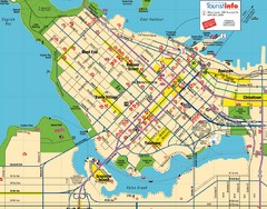
Vancouver Downtown Map
Detailed street map of Downtown Vancouver
152 miles away
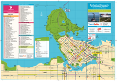
Map of Greater Vancouver
Tourism Vancouver's official map of Greater Vancouver. Shows accomodations, attractions...
152 miles away
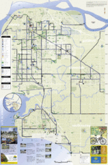
Bicycle Friendly Route Map
152 miles away
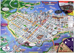
Vancouver Downtown Map
Panoramic tourist map of downtown Vancouver, BC. Shows major buildings in 3D.
152 miles away
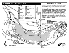
Burnaby Lake Park Trail Map
Trail map of Burnaby Lake Park in Vancouver, BC
152 miles away
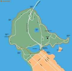
Stanley Park Map
153 miles away
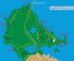
Stanely Park Map
153 miles away
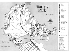
Stanley Park Trail Map
Trail map of Stanley Park near downtown Vancouver, BC. Shows monuments.
153 miles away
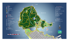
Stanley Park Map
Overview trail map of Stanley Park in Vancouver, BC.
153 miles away
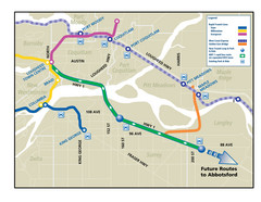
Highway 1 Rapid Bus Service Map
153 miles away
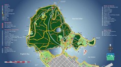
Stanley Park Map
153 miles away
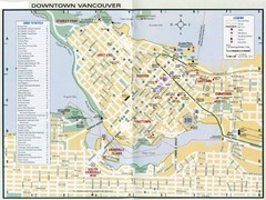
Vancouver Map
154 miles away
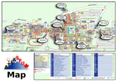
Simon Fraser University Campus Map
Simon Fraser University Campus Map includes the location of all buildings, bus stops, emergency...
155 miles away
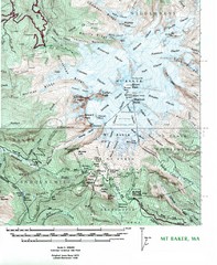
Mt. Baker Topo Map
Topo map of Mt. Baker, Washington, elevation 10,778ft.
155 miles away
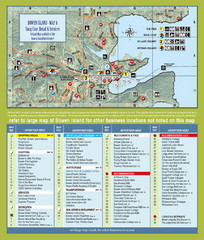
Bownen Island Tourist Map
155 miles away

Bowen Island 3D Aerial Map
3d aerial map of Bowen Island, BC
155 miles away
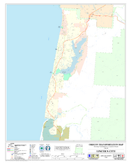
Lincoln City Oregon Road Map
156 miles away
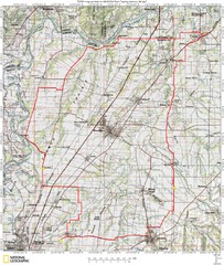
Spring Century Bike Route Map
Oregon Spring Century Ride
156 miles away
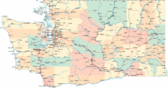
Washington Road Map
Road map of state of Washington
156 miles away
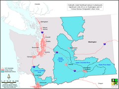
Washington Steelhead Salmon Map
Shows federally listed steelhead salmon evolutionarily significant units in Washington state.
156 miles away
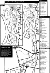
Capilano River Park Trail Map
Trail map of Capilano River Regional Park near Vancouver, BC
156 miles away
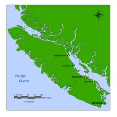
Vancouver Island Overview Map
Town of Parksville highlighted.
157 miles away
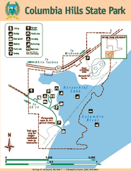
Columbia Hills State Park Map
Map of park with detail of trails and recreation zones
158 miles away
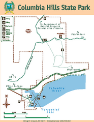
Columbia Hills State Park Map
Map of park with detail of trails and recreation zones
158 miles away
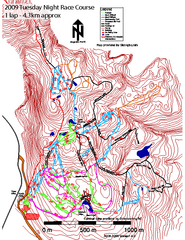
Cypress Mountain Tuesday Night Race Course Ski...
Trail map from Cypress Mountain, which provides downhill, night, nordic, and terrain park skiing...
158 miles away
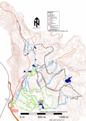
Cypress Mountain Nordic (Skiingbc.info Topo...
Trail map from Cypress Mountain, which provides downhill, night, nordic, and terrain park skiing...
158 miles away
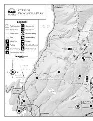
Cypress Provincial Park Map
Park map of Cypress Provincial Park, BC. Home of the North Shore Mountains. 2 pages.
158 miles away
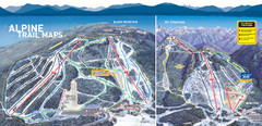
Cypress Mountain Ski Trail Map
Official ski trail map of Cypress Mountain ski area from the 2007-2008 season. Official freestyle...
158 miles away
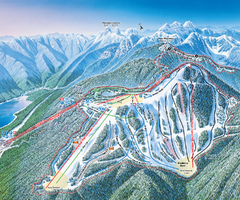
Grouse Mountain Ski Trail Map
Trail map from Grouse Mountain, which provides downhill, night, and terrain park skiing. It has 5...
159 miles away
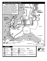
Belcarra Regional Park Trail Map
Trail map of Belcarra Regional Park, BC
159 miles away
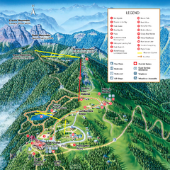
Grouse Mountain Summer Trail Map
Summer trail map of Grouse Mountain Resort near Vancouver, BC.
159 miles away
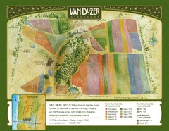
Van Duzer Vineyard Map
"A colorful vineyard map that shows the location of Van Duzer’s numerous grape varietals...
160 miles away
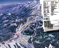
Mount Seymour Ski Trail Map
Trail map from Mount Seymour, which provides downhill, night, and terrain park skiing. It has 5...
160 miles away
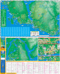
Folded Sunshine Coast Super Map
Folded Sunshine Coast Super Map
161 miles away
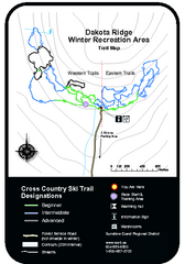
Dakota Ridge Ski Trail Map
Trail map from Dakota Ridge, which provides nordic skiing. This ski area has its own website.
161 miles away
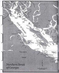
Northern Strait of Georgia Map
162 miles away
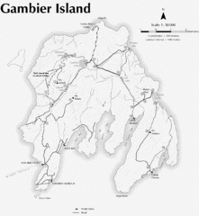
Gambier Island Trail Map
Trail map of Gambier Island, BC. See site for trail descriptions and details.
162 miles away
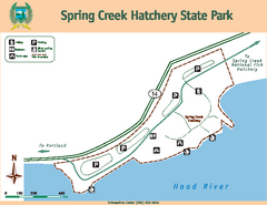
Spring Creek Hatchery State Park map
Map of park with detail of trails and recreation zones
162 miles away
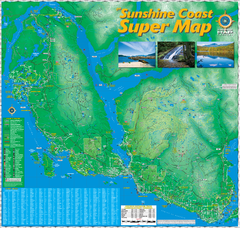
Sunshine Coast Super Map
Sunshine Coast Super Map Poster. 44" X 42". Also Available in folded version.
163 miles away


