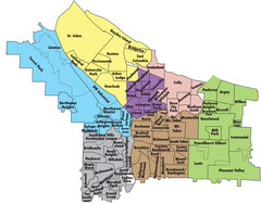
Portland, Oregon Neighborhood Map
137 miles away
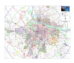
Portland, Oregon Tourist Map
137 miles away
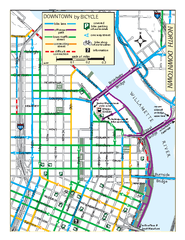
North Downtown Portland Bike Parking Map
Biking map of northern downtown Portland, Oregon. Shows bike paths, parking, and stores.
137 miles away
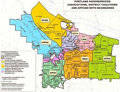
Portland Neighborhood Map
Shows neighborhood associations of Portland, Oregon.
137 miles away
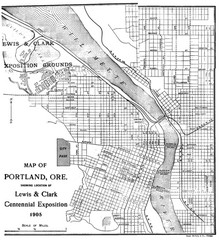
Portland, Oregon Map
Map of Portland, Oregon during centennial exposition of the Lewis & Clark Exploration...
138 miles away
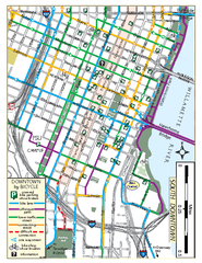
South Downtown Portland Bike Map
Biking map of southern downtown Portland, Oregon. Shows bike paths, bike parking, and bike shops.
138 miles away
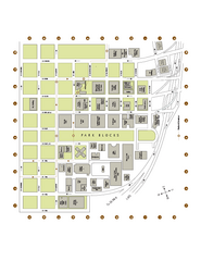
Portland State University Map
Campus Map of Portland State University. All buildings shown.
138 miles away
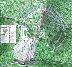
White Pass Ski Area Ski Trail Map
Trail map from White Pass Ski Area, which provides downhill, nordic, and terrain park skiing. It...
139 miles away

Maywood Park Oregon Road Map
139 miles away
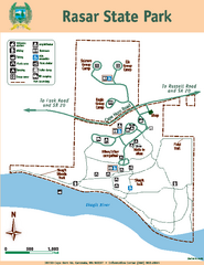
Rasar State Park Map
Map of park with detail of trails and recreation zones
140 miles away
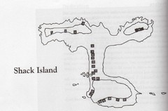
Shack Island Map
Illustration taken from the book "Shack Island" by Ruth English Matson. 2004.
140 miles away

Tigard Oregon Road Map
141 miles away
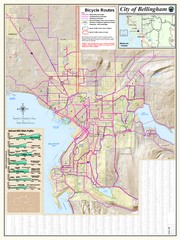
Bellingham, Washington City Map
141 miles away
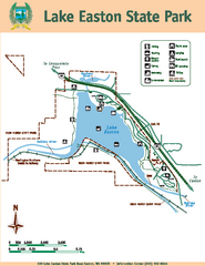
Lake Easton State Park Map
Map of island with detail of trails and recreation zones
141 miles away

King City Oregon Road Map
142 miles away
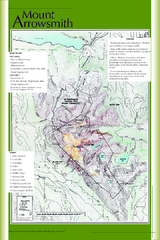
Mount Arrowsmith Climbing Route Map
Climbing routes on Mount Arrowsmith, Vancouver Island
142 miles away
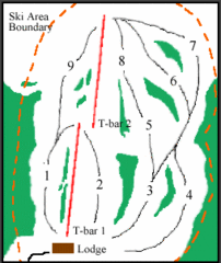
Mount Arrowsmith (Upper) Ski Trail Map
Trail map from Mount Arrowsmith (Upper).
143 miles away

Lake Oswego Oregon Road Map
144 miles away
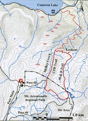
Mt. Arrowsmith Park CPR Historic Trail Map
Trail map of Mt. Arrowsmith Regional Park CPR Historic Trail, Vancouver Island
144 miles away
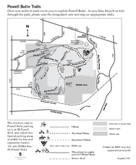
Powell Butte Nature Park Trail Map
Trail map of Powell Butte Nature Park. Shows over 9 miles of trails
144 miles away
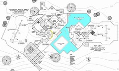
Lynden City Park Map
145 miles away

Happy Valley Oregon Road Map
146 miles away
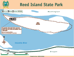
Reed Island State Park Map
Map of park with detail of trails and recreation zones
146 miles away
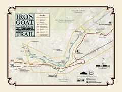
Iron Goat Trail Map
146 miles away
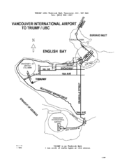
Vancouver Locational Map
Visitor Information Map includes directions from the Vancouver International Airport to the...
148 miles away
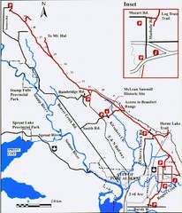
Log Train Trail Map
Trail map of the Log Train Trail near Port Alberni, Vancouver Island
148 miles away
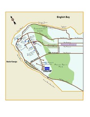
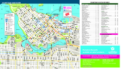
Downtown Vancouver Map
149 miles away
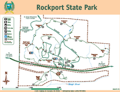
Rockport State Park Map
Map of park with detail of trails and recreation zones
149 miles away
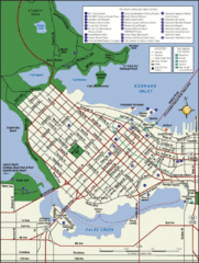
Vancouver Tourist Map
Tourist map of downtown Vancouver
149 miles away
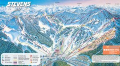
Stevens Pass Ski Trail Map
Official ski trail map of Stevens Pass ski area
150 miles away
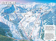
Stevens Pass Ski Area Stevens Pass Mill Valley...
Trail map from Stevens Pass Ski Area, which provides night and terrain park skiing. It has 8 lifts...
150 miles away
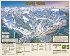
Stevens Pass Trail Map
150 miles away
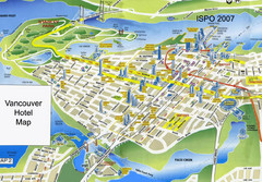
Vancouver Hotels Map
150 miles away
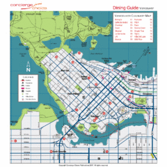
Downtown Vancouver Map
150 miles away
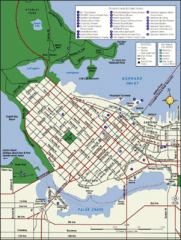
Vancouver Map
Street map of Vancouver
150 miles away
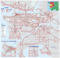
Vancouver Regional Transportation System Map
150 miles away
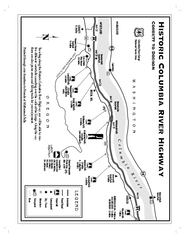
Historic Columbia River Highway Map
Official map from the US Forest Service. Shows the Corbett to Dodson stretch of Highway 30 with...
151 miles away
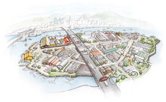
Granville Island Map
151 miles away


