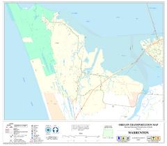
Warrenton Oregon Road Map
73 miles away
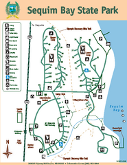
Sequim Bay State Park Map
Map of park with detail of trails and recreation zones
74 miles away
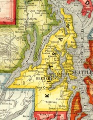
Kitsap County Washington, 1909 Map
77 miles away
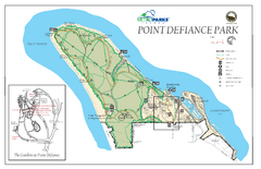
Point Defiance Park Map
79 miles away
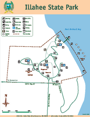
Illahee State Park Map
Map of park with detail of trails and recreation zones
80 miles away
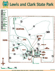
Lewis and Clark State Park Map
Map of park with detail of recreation zones and trails
81 miles away
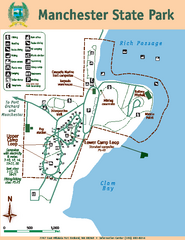
Manchester State Park Map
Map of park with detail of trails and recreation zones
81 miles away
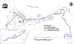
Neah Bay Bus Route Map
83 miles away
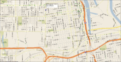
Tacoma, Washington City Map
83 miles away
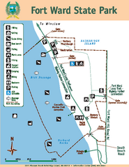
Fort Ward State Park Map
Map of park with detail of trails and recreation zones
83 miles away
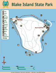
Blake Island State Park Map
Map of park with detail of trails and recreation zones
83 miles away
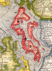
Island County Washington, 1909 Map
84 miles away
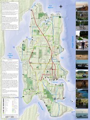
Bainbridge Island Hiking and Biking Map
Shows trails and bike routes on Bainbridge Island, Washington in the Puget Sound. Also shows...
84 miles away
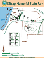
Kitsap Memorial State Park Map
Map of island with detail of trails and recreation zones
84 miles away
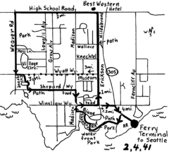
Bainbridge Walking Map
From Seattle Ferry Terminal, take the Bainbridge Ferry to Winslow. The walk is 4 miles with...
84 miles away
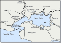
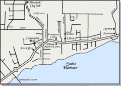
Community of Sooke, British Columbia Map
http://www.sooke.org/maps/map2.htm © Pax Media Inc.
84 miles away
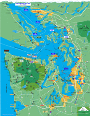
Seattle Ferry Guide Map
Map of ferries around Seattle, Puget Sound and Olympic Peninsula
84 miles away
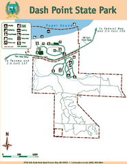
Dash Point State Park Map
Map of park with detail of trails and recreation zones
84 miles away

3-D Panoramic Map of the Puget Sound
A 3D panoramic map of a view from a private residence over Puget Sound toward the Olympic mountains.
85 miles away
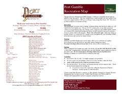
Stottlemeyer trails Map
85 miles away
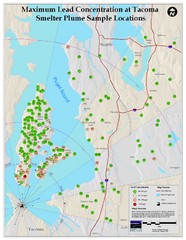
Tacoma Lead Concentration Map
A map of maximum lead concentrations near Tacoma.
85 miles away
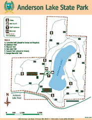
Anderson Lake State Park Map
Map of park and trails
86 miles away
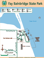
Fay Bainbridge State Park Map
Map of park with detail of trails and recreation zones
86 miles away
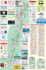
Milton tourist map
Tourist map of Milton, Washington. Shows all businesses.
88 miles away
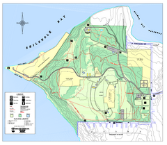
Discovery Park trail map
Trail and facility map of Discovery Park. Discovery Park is a 534 acre natural area park operated...
89 miles away

Magnolia tourist map
Tourist map of Magnolia, Washington. Shows all businesses.
89 miles away

Tourist map of Downtown Des Moines, Washington
Tourist map of Downtown Des Moines, Washington. Shows all businesses.
89 miles away

Des Moines Washington tourist map
Tourist map of Des Moines, Washington, including Kent and SeaTac airport.
89 miles away
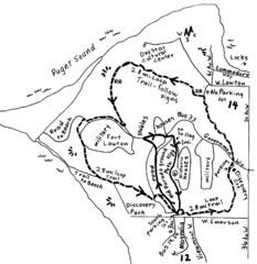
Discovery Park Walking Map Seattle Map
You can walk the Historic Parade Grounds in Fort Lawton (1.5 miles) and/or the 2.8 mile Trail Loop...
90 miles away
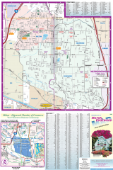
Milton and Edgewood tourist map
Tourist map of Milton and Edgewood, Washington. Shows all businesses.
90 miles away
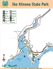
Ike Kinswa State Park Map
Map of park with detail of trails and recreation zones
91 miles away
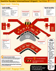
SeaTac Airport Map
91 miles away
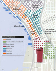
Seattle Neighborhoods Map
Map outlines several neighborhoods in Seattle, Wahsington
91 miles away
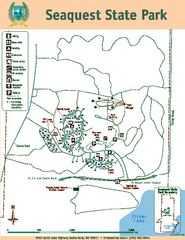
Seaquest State Park Map
Map of park with detail of trails and recreation zones
91 miles away
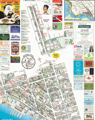
Ballard tourist map
Tourist map of Ballard, Washington. Shows all businesses.
91 miles away
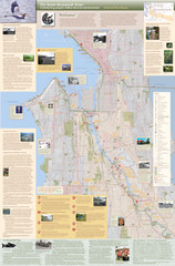
Duwamish River Community Map
This is a printed map, 32" X 40", created for the Duwamish River Cleanup Coalition in...
91 miles away
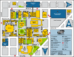
Seattle City Center, Washington Map
Map of points of interest in Seattle Center. KeyArena, the Space Needle, theaters, parking and...
91 miles away

