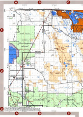
Modoc National Forest Map
Forest Visitor Map of the western most part of Modoc National Park. Includes county boundaries...
414 miles away
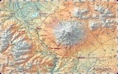
Mt. Shasta Scenic Area map
Great map of the Mt. Shasta region. Shows roads (including 4WD), mountains, lakes, and hiking...
414 miles away
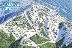
Brundage Mountain Resort Lakeview Bowl Ski Trail...
Trail map from Brundage Mountain Resort, which provides downhill and terrain park skiing. It has 5...
415 miles away
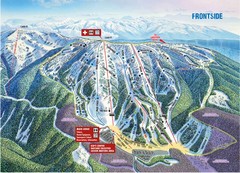
Brundage Mountain Resort Frontside Ski Trail Map
Trail map from Brundage Mountain Resort, which provides downhill and terrain park skiing. It has 5...
415 miles away
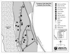
Thompson Falls State Park Map
This shaded, quiet campground is located on the Clark Fork River near the town of Thompson Falls in...
415 miles away
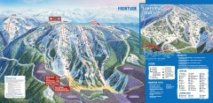
Brundage Ski Trail Map
Official ski trail map of Brundage ski area from the 2007-2008 season.
415 miles away

Redwood National Park Map
417 miles away

Steens Mountain Topo Map
Topography map of the east side of Steens mountain in Oregon.
417 miles away
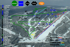
2004–07 Troll Downhill Map
Trail map from Troll. This ski area opened in 1972.
418 miles away
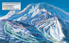
Mt. Shasta Ski Park Ski Trail Map
Official ski trail map of Mount Shasta Ski Park ski area
419 miles away
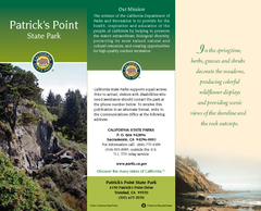
Patrick's Point State Park Map
Map of park with detail of trails and recreation zones
420 miles away

Kootenay Rockies Map
The Kootenay Rockies Range in British Columbia, Canada
421 miles away
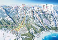
Tamarack Ski Trail Map
Official ski trail map of Tamarack ski area from the 2007-2008 season.
425 miles away
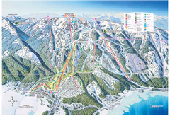
Tamarack Resort Ski Trail Map
Trail map from Tamarack Resort, which provides downhill, nordic, and terrain park skiing. It has 7...
426 miles away
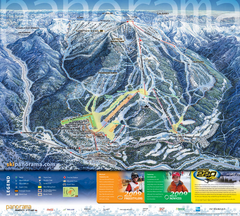
Panorama Mountain Village Ski Trail Map
Trail map from Panorama Mountain Village.
426 miles away
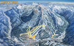
Panorama Ski Trail Map
Official ski trail map of Panorama ski area from the 2006-2007 season.
426 miles away

Panorama Trail Map
Ski trail map
427 miles away
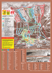
Kicking Horse Ski Trail Map 2009-10
Ski trail map of Kicking Horse ski area for the 2009-2010 season. Features 3 alpine bowls and 70...
428 miles away
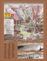
Kicking Horse Ski Trail Map 2007-08
Official ski trail map of Kicking Horse ski area from the 2007-2008 season.
428 miles away
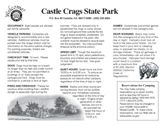
Castle Crags State Park Map
Map of park with detail of trails and recreation zones
429 miles away
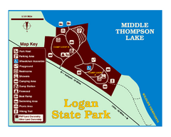
Logan State Park Map
With frontage on the north shore of Middle Thompson Lake, Logan is heavily forested with western...
429 miles away
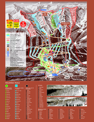
Kicking Horse Resort Ski Trail Map 2008-2009
Trail map from Kicking Horse Resort, which provides downhill and nordic skiing. This ski area has...
429 miles away
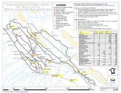
Dawn Mountain Nordic Ski Trail Map
Trail map from Dawn Mountain Nordic.
429 miles away
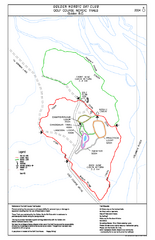
2004–06 Golden Golf Course Trail Map
Trail map from Golden Golf Course.
432 miles away

Rotary Trail Map
432 miles away
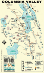
Columbia Valley Map
Easy to follow map and legend of this wilderness area.
432 miles away
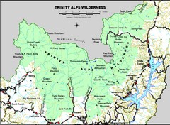
Trinity Alps Wilderness Map
Overview map of the Trinity Alps Wilderness near Weaverville, CA
433 miles away
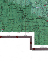
Klamath National Forest Map
Visitor Map of Klamath, eastern part of the forest, includes all roads, camp grounds, creeks, and...
436 miles away
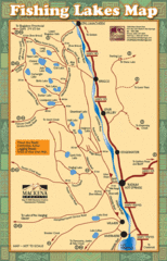
Radium Hot Springs Fishing Map
Beautiful map of the many fishing spots at this amazing site.
438 miles away
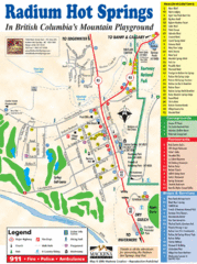
Radium Hot Springs Map
An easy to read map of this amazing hot springs area.
438 miles away
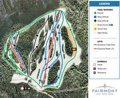
Fairmont Hot Springs Resort Ski Trail Map
Trail map from Fairmont Hot Springs Resort.
439 miles away
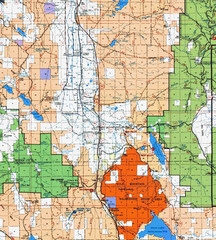
Modoc National Park Map
Visitor Map of Modoc National Park, eastern part. Includes all roads, lakes, camping and boating...
441 miles away
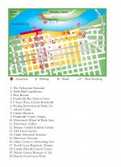
Old Town, Eureka, California Map
Tourist map of the Old Town area of Eureka, California. Shows various attractions including murals...
443 miles away
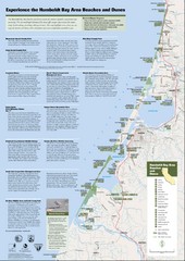
Humboldt Bay Area Beaches and Dunes Map
Humboldt Bay Beaches & Dunes Map & Guide
443 miles away
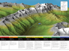
Island Lake Hiking Map
Hiking trail map of Island Lake area near Fernie, BC
444 miles away
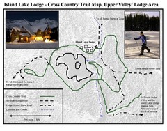
Island Lake Lodge Ski Trail Map
Trail map from Island Lake Lodge, which provides nordic skiing. This ski area has its own website.
444 miles away
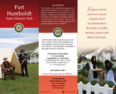
Fort Humboldt State Historic Park Map
Map of park with detail of trails and recreation zones
445 miles away
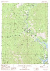
Lamoine Quad - Shasta Lake Map
Topographic map, Lamoine Quadrangle, California 1990. Area of map includes a portion of Shasta Lake...
445 miles away
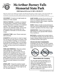
McArthur-Burney Falls Memorial State Park...
Map of park with detail of trails and recreation zones
447 miles away
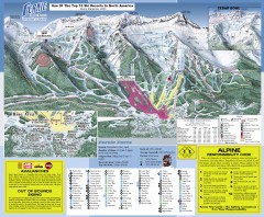
Fernie Ski Trail Map
Official ski trail map of Fernie ski area from the 2007-2008 season.
447 miles away

