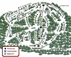
BTS Route Map
Map of BTS bus routes throughout Klamath Falls
364 miles away
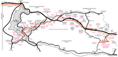
Trail of the Coeur d'Alenes Map
Shows the Trail of the Coeur d'Alenes, a 72 mile bike path that follows the Union Pacific...
369 miles away
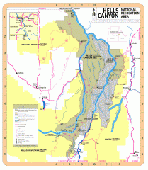
Hells Canyon National Recreation Area Map
Official Forest Service map of the Hells Canyon National Recreation Area. Shows roads, trails...
370 miles away
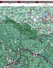
Klamath National Forest Map
Visitor Map of Klamath, western part of the park. Includes all roads, lakes, rivers and camping...
373 miles away
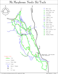
Mt Macpherson Nordic Ski Trail map
Nordic ski trail map of Mt Macpherson area near Revelstoke, BC. Shows trail names and distances in...
374 miles away
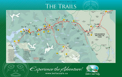
Bella Coola Valley Trail Map
Shows trails in region around Bella Coola, Hagensborg, and Firvale, British Columbia. Shows some...
374 miles away
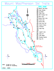
Revelstoke Nordic—Mount MacPherson Nordic Ski...
Trail map from Revelstoke Nordic—Mount MacPherson, which provides nordic skiing. This ski area...
374 miles away
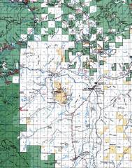
Clip07 Map
Visitor Maps of Klamath, central-western part of the park. Includes all roads, camp grounds...
374 miles away
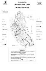
Mt. Macpherson Mountain Bike Trail Map
Mountain bike trail maps of Mt. Macpherson area and Mt. Mackenzie area right out of the town of...
376 miles away
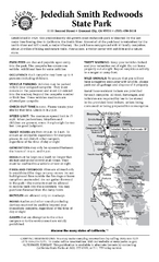
Jedediah Smith Redwoods State Park Campground Map
Map of campground region of park with detail of trails and recreation zones
376 miles away
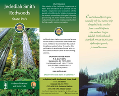
Jedediah Smith Redwoods State Park Map
Map of park with detail of trails and recreation zones
376 miles away

Revelstoke City Map
Overview map of Revelstoke, BC. Shows Points of Interest and activity icons
377 miles away
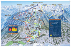
Revelstoke Ski Trail Map - Front side
Ski trail map of front side of Revelstoke ski area in Revelstoke, Canada from the 2008-2009 season.
378 miles away
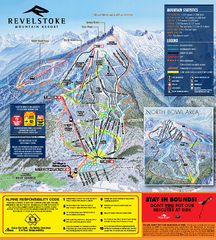
Revelstoke Ski Trail Map 2010-11
Ski trail map of Revelstoke Mountain Resort for the 2010-2011 season. Inset shows North Bowl area.
378 miles away
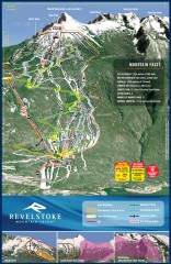
Revelstoke Ski Trail Map
Official ski trail map of Revelstoke ski area from the inaugural 2007-2008 season.
378 miles away
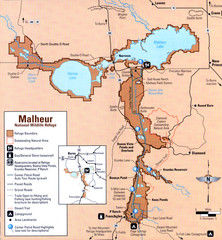
Malheur National Wildlife Refuge Map
Detailed Map of the Malheur Wildlife Refuge in Oregon showing places of interest, roads and...
379 miles away
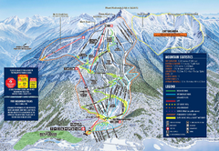
Revelstoke Ski Trail Map 2009-2010
Official ski trail map of Revelstoke Mountain Resort from the 2009-2010 season.
379 miles away
Silver Mountain Resort Ski Trail Map
Trail map from Silver Mountain Resort, which provides downhill, night, and terrain park skiing. It...
379 miles away
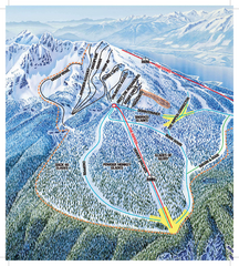
Revelstoke Ski Trail Map - North Bowl
Ski trail map of the North Bowl of Revelstoke ski area in Revelstoke, BC. From the 2008-2009...
379 miles away
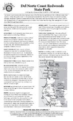
Del Norte Coast Redwoods State Park Campground Map
Map of park with detail of trails and recreation zones
382 miles away
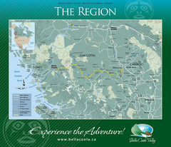
Bella Coola Valley Region Map
Shows large region around Bella Coola, British Columbia, from the northern tip of Vancouver Island...
384 miles away
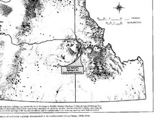
Map of Wolverine Sightings: 1886 -- 1998
388 miles away
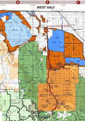
Modoc National Park Map
Visitor Map of Modoc National Park--Western Part. Includes the parameters of the Lava Beds...
392 miles away
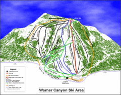
Warner Canyon Ski Trail Map
Trail map from Warner Canyon, which provides downhill skiing.
394 miles away

Lakeview Oregon Road Map
395 miles away
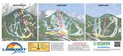
Lookout Pass Ski Trail Map
Official ski trail map of Lookout Pass ski area from the 2007-2008 season. Shows Montana, Idaho...
399 miles away
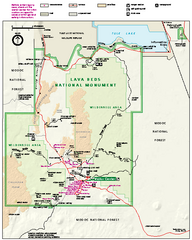
Lava Beds National Monument official park map
Official park map of Lava Beds National Monument. Shows trails, roads, cave entrances, and lava...
399 miles away
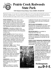
Prairie Creek Redwoods State Park Campground Map
Map of campground region of park with detail of trails and recreation zones
401 miles away
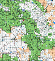
Clip10 Map
Visitor Maps of Modoc National Park, eastern part of the park includes all roads, camping areas...
401 miles away
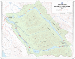
Bowron Lake Park Map
Topographical map of Bowron Lake Park
403 miles away
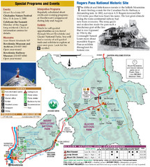
Glacier National Park and Revelstoke National...
Official park map of Glacier National Park and Revelstoke National Park in British Columbia, Canada.
404 miles away
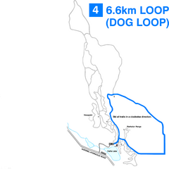
Hallis Lake Dog Loop Ski Trail Map
Trail map from Hallis Lake, which provides night and nordic skiing. This ski area has its own...
404 miles away

Hallis Lake Lighted Ski Trail Map
Trail map from Hallis Lake, which provides night and nordic skiing. This ski area has its own...
404 miles away
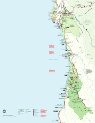
Redwood National Park Map
Official NPS map of Redwood National Park, California. Also shows Jedediah Smith Redwoods State...
406 miles away

Stanley, British Columbia Map
408 miles away
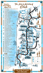
Orick Redwood National Park Map
409 miles away
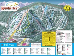
Kimberley Ski Trail Map
Official ski trail map of Kimberley ski area from the 2007-2008 season.
412 miles away
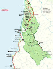
Prairie Crek State Park Map
412 miles away
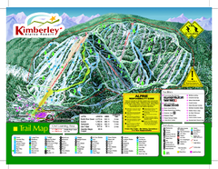
Kimberley Alpine Resort Ski Trail Map
Trail map from Kimberley Alpine Resort.
413 miles away

