City of Trail BC Map
Map of city of Trail, BC on the Columbia River
327 miles away
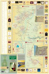
Oregon Winery Map / Local Side
329 miles away
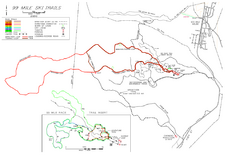
99 Mile Ski Ski Trail Map
Trail map from 99 Mile Ski Trails, which provides nordic skiing. This ski area has its own website.
332 miles away
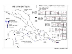
99 Mile Ski Race Routes Ski Trail Map
Trail map from 99 Mile Ski Trails, which provides nordic skiing. This ski area has its own website.
332 miles away
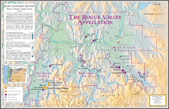
Oregon Rogue Valley wineries Map
Southern Oregon's Rogue Valley wineries
332 miles away

Pullman Parks Trail Map
Trails and pathways map
333 miles away
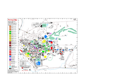
Washington State University Map
Washington State University Campus Map. All buildings shown.
333 miles away
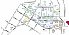
Washington State University's Greek Row Map
Map of WSU's fraternities and sororities
333 miles away
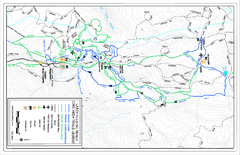
Larch Hills Nordics Core Ski Trail Map
Trail map from Larch Hills Nordics, which provides night and nordic skiing. This ski area has its...
334 miles away
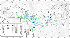
Larch Hills Nordics All Ski Trail Map
Trail map from Larch Hills Nordics, which provides night and nordic skiing. This ski area has its...
334 miles away
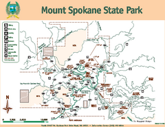
Mount Spokane State Park Map
Map of park with detail of trails and recreation zones
334 miles away
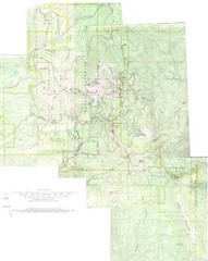
Mount Spokane Trail Map
Contour map of Mount Spokane
334 miles away
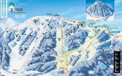
Mt. Spokane Ski Trail Map
Official ski trail map of Mount Spokane ski area from the 2006-2007 season.
335 miles away
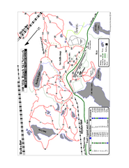
108 Mile House Ski Trail Map
Trail map from 108 Mile House.
339 miles away
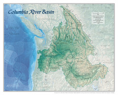
Columbia River Basin Map
342 miles away
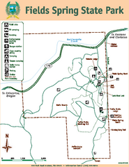
Fields Spring State Park Map
Map of park with detail of trails and recreation zones
343 miles away

Bear Creek Greenway Map
Trail map of the Bear Creek Greenway connecting Central Point to Ashland, Oregon. Will eventually...
344 miles away
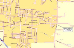
Medford, Oregon City Map
344 miles away
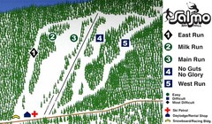
Salmo Ski Area Ski Trail Map
Trail map from Salmo Ski Area, which provides downhill skiing. This ski area has its own website.
346 miles away
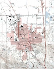
Baker City, Oregeon Tourist Map
349 miles away
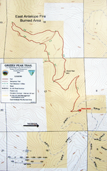
Grizzly Peak Trail Map
Topographic trail map of Grizzly Peak near Ashland, Oregon. Shows trails and distances. From...
350 miles away
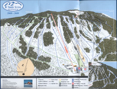
Mt Timothy Ski Trail Map
Trail map from Mt Timothy.
351 miles away
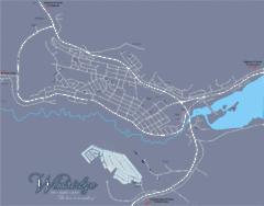
Williams Lake Town Map
353 miles away
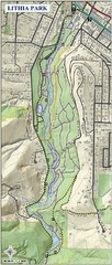
Lithia Park Trail Map
Trail map of Lithia Park in town of Ashland, Oregon. Adjacent to the Oregon Shakespeare Festival.
355 miles away
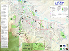
Ashland Trails Map
Trail map of Ashland, Oregon. Shows bicycle routes and public parks and trails.
355 miles away
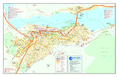
Nelson BC Town Map
355 miles away
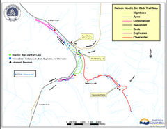
Nelson Nordic Ski Trail Map
Trail map from Nelson Nordic, which provides night and nordic skiing. This ski area has its own...
356 miles away
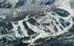
Whitewater Ski Resort Silver King Ski Trail Map
Trail map from Whitewater Ski Resort.
359 miles away
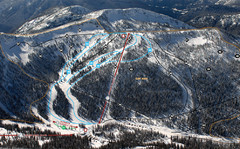
Whitewater Ski Resort Summit Ski Trail Map
Trail map from Whitewater Ski Resort.
359 miles away
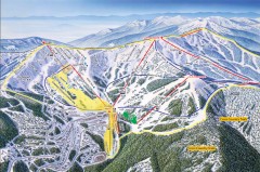
Schweitzer Ski Trail Map - Front
Official ski trail map of front side of Schweitzer ski area from the 2007-2008 season.
362 miles away
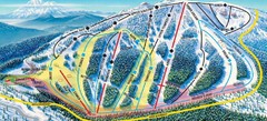
Mt. Ashland Ski Trail Map
Ski trail map of Mt. Ashland ski area near Ashland, Oregon
362 miles away

Schweitzer Mountain Trail Map
Map of ski trails
362 miles away
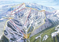
Schweitzer Ski Trail Map - Outback Bowl
Official ski trail map of back side of Schweitzer ski area from the 2007-2008 season.
362 miles away
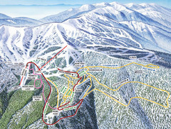
Schweitzer Mountain Trail Map
Ski trail map of Schweitzer Mountin
362 miles away

Sandpoint City Map
Street map of downtown Sandpoint
363 miles away
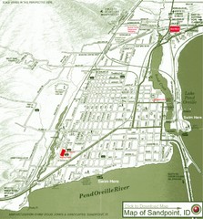
Map of Sandpoint, Idaho
Map of the entire town of Sandpoint including all streets, highways and other information.
363 miles away
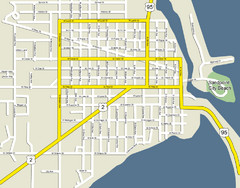
Sandpoint City Beach Map
Downtown Sandpoint Map.
363 miles away
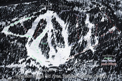
Ferguson Ridge Ski Trail Map
Trail map from Ferguson Ridge.
364 miles away

