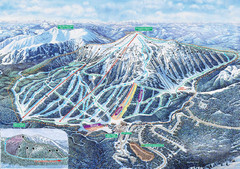
Apex Mountain Ski Trail Map
Official ski trail map of Apex Mountain ski area
249 miles away
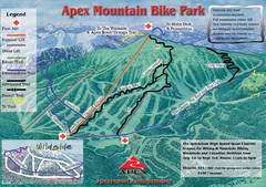
Apex Mountain Resort Biking Ski Trail Map
Trail map from Apex Mountain Resort, which provides downhill and terrain park skiing. It has 5...
249 miles away
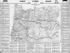
Oregon Military Map
Detailed guide to military forts, camps and roads on teh western Oregon coast
250 miles away

City of Kennewick Map
Simple road map of Kennewick.
250 miles away
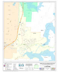
Lakeside Oregon Road Map
251 miles away
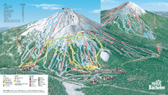
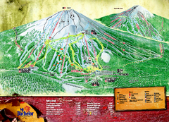
Mt. Bachelor Ski Trail map
Official ski trail map of Mount Bachelor ski area from the 2006-2007 season.
253 miles away
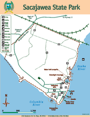
Sacajawea State Park Map
Map of park with detail of trails and recreation zones
254 miles away
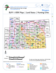
Oregon Hunting Unit/BLM Map Index
This map shows which BLM land ownership maps cover all hunting units in Oregon. Color indicates...
257 miles away
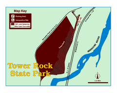
Tower Rock State Park Map
Tower Rock State Park is one of Montana's newest state parks. The 400-foot high igneous rock...
257 miles away
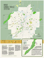
Bend urban trails system Map
The Bend Urban Trail System currently includes approximately 48 developed miles of trails which...
259 miles away
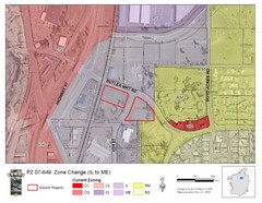
Bend, Oregon Zoning Map
Map of the zoning area changes in Bend, Oregon. Includes color-coded zoning areas.
259 miles away
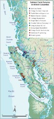
BC Fish Farm Map
Shows salmon farm tenures in southern British Columbia, Canada.
262 miles away
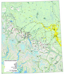
Chilcotin Mountains Trail System Map
Trail system map of the Chilcotin Mountains in BC, Canada "On the trail system map '...
262 miles away
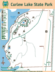
Curlew Lake State Park Map
Map of park with detail of trails and recreation zones
264 miles away
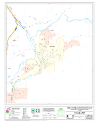
Oakland Oregon Road Map
265 miles away
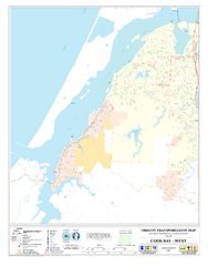
West Coos Bay Oregon Road Map
266 miles away
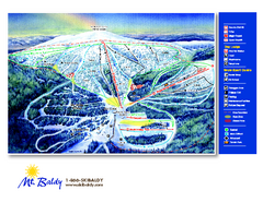
Mt. Baldy Family Ski Area Ski Trail Map
Trail map from Mt. Baldy Family Ski Area.
266 miles away
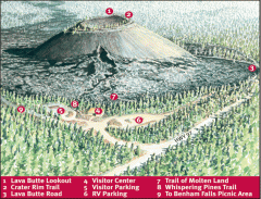
Newberry National Volcanic Monument - Lava Lands...
Map of Lava Butte which rises 500 feet above the visitor center. This cinder cone erupted 7,000...
266 miles away
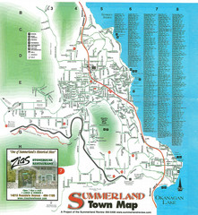
Summerland Town Map
Map of Summerland with details on outdoor-recreation locations and streets
266 miles away
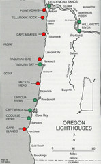
Lighthouses of the Oregon Coast Map
lighthouses (active, inactive, and destroyed) on the coast of Oregon (and the Columbia River)
267 miles away
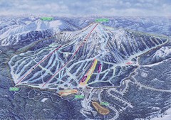
Apex Mountain Ski Resort Map
Apex Mountain Trail Map, Lifts and Elevations
270 miles away
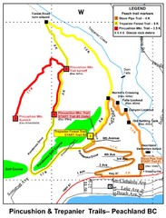
Peachland Walks Map
Guide to Pincushion and Trepanier Trails in Peachland, BC
272 miles away
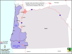
Oregon Coho Salmon Map
Shows federally listed coho salmon evolutionarily significant units in Washington state.
275 miles away
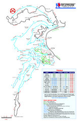
Telemark Cross Country Ski Trail Map
Trail map from Telemark Cross Country, which provides nordic skiing. This ski area has its own...
276 miles away

Kettle Valley Trails Map
Map of Kettle Valley Trails. Includes all trails, streets, and attractions.
276 miles away
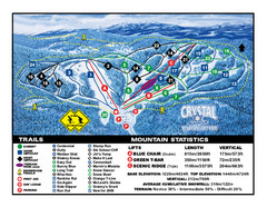
Crystal Mountain Resort Ski Trail Map
Trail map from Crystal Mountain Resort, which provides downhill skiing. This ski area has its own...
277 miles away
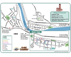
Ashcroft Map
Map of Ashcroft, includes all streets, highways, accommodations and attractions.
277 miles away
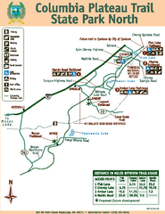
Columbia Plateau Trail State Park North Map
Map of park with detail of trails and recreation zones
279 miles away
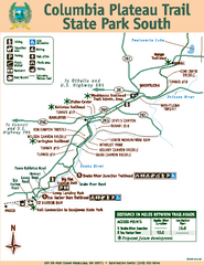
Columbia Plateau Trail State Park South Map
Map of park with detail of trails and recreation zones
280 miles away
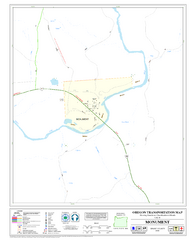
Monument Oregon Road Map
283 miles away
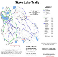
Stake Lake Nordic Ski Trail Map
Trail map from Stake Lake.
284 miles away
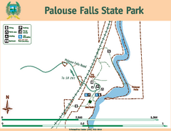
Palouse Falls State Park Map
Map of park with detail of trails and recreation zones
285 miles away
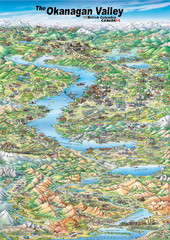
Pictorial map of the Okanagan Valley
285 miles away
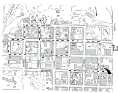
Myrtle Point walking tour Map
Walking tour map of the Historic homes of Myrtle Point in the Coquille Valley of Oregon.
287 miles away
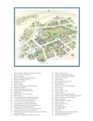
Whitman College Campus Map
Campus map of Whitman College in Walla Walla, WA
290 miles away

Phoenix Mountain Ski Trail Map
Trail map from Phoenix Mountain.
291 miles away

Pacific Northwest Inside Passage Map
Amazing Pacific Northwest Inside Passage Legendary map.
291 miles away

