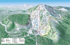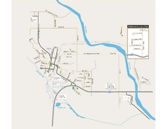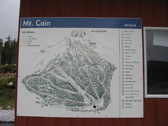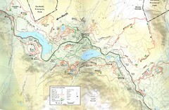
Whistler, CA Hiking and Biking Trails Map
209 miles away
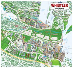
Whistler Village Map
209 miles away
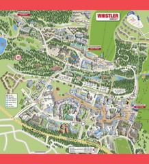
Whistler Village Map
209 miles away
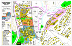
Whistler Village Map
209 miles away
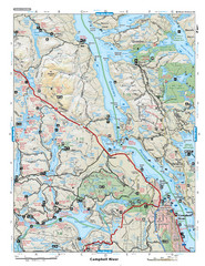
Campbell River Area Map
Vancouver Island, Victoria & Gulf Islands
209 miles away
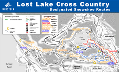
Whistler Cross Country Connection Snowshoeing Ski...
Trail map from Whistler Cross Country Connection.
209 miles away
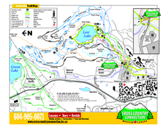
Whistler Cross Country Connection 2006–07...
Trail map from Whistler Cross Country Connection.
209 miles away
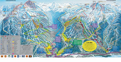
Trail Map Whistler Blackcomb
Map of all trails and ski runs at Whistler and Blackcomb mountains. Includes detailed information...
210 miles away
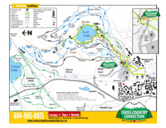
Lost Lake, Whistler Hiking and Biking Trail Map
210 miles away
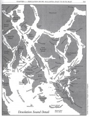
Desolation Sound Detail Map
Shows general geography of Desolation Sound from Malaspina Inlet to Bute Inlet. Shows Cortes Bay...
211 miles away
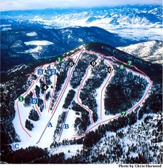
Loup Loup Ski Bowl Ski Trail Map
Trail map from Loup Loup Ski Bowl, which provides downhill, night, and nordic skiing. It has 2...
216 miles away
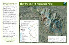
Howard Buford Recreational Area Trails Map
Map of the Howard Buford Recreational Area trails, roads, picnic areas, bathrooms, attractions.
216 miles away
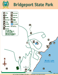
Bridgeport State Park Map
Map of park with detail of trails and recreation zones
220 miles away
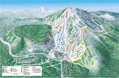
Hoodoo Mountain Ski Trail Map
Ski trail map of Hoodoo Mountain ski area.
224 miles away
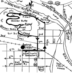
Eugene Oregon Walk, Skinner Butte and River Path...
Walk on the Willamette River Bike path, up Skinner Butte on a forest path and through a historic...
224 miles away

Eugene Parks map
City of Eugene Parks Map. Includes streets and trails.
225 miles away
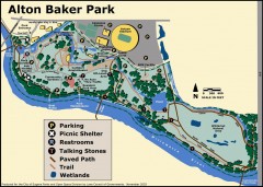
Alton Baker Park Map
Shows parking, picnic shelters, restrooms, talking stones, paved path, trail, and wetlands. Alton...
225 miles away
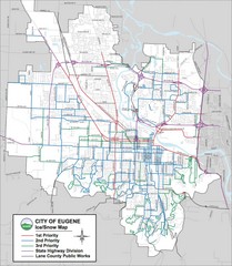
Eugene, Oregon City Map
225 miles away
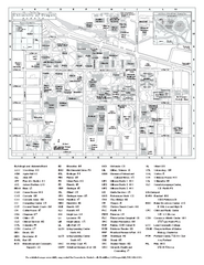
University of Oregon campus map
University of Oregon campus map with building abbreviations
225 miles away
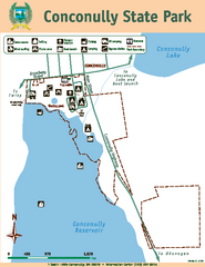
Conconully State Park Map
Map of park with detail of trails and recreation zones
227 miles away
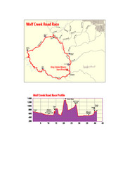
Wolf Creek Road Race Route and Route Elevation Map
Route map and elevation of Wolf Creek bike Race
227 miles away
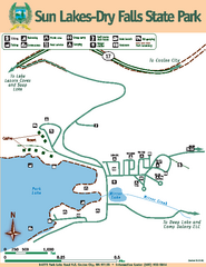
Sun Lakes-Dry Falls State Park Map
Map of park with detail of trails and recreation zones
228 miles away
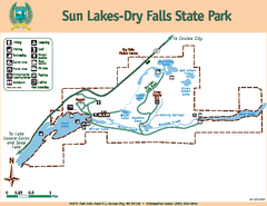
Sun Lakes-Dry Falls State Park Map
Map of park with detail of trails and recreation zones
228 miles away
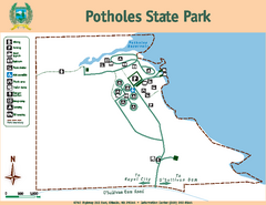
Potholes State Park Map
Map of park with detail of trails and recreation zones
229 miles away
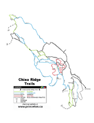
China Ridge XC Ski Trail Map
Trail map from China Ridge XC, which provides nordic skiing.
229 miles away
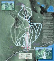
Willamette Pass Ski Trail Map
Trail map from Willamette Pass.
230 miles away
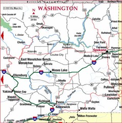
Eastern Washington Road Map
237 miles away
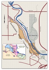
JackRabbit Ridge Natural Area Map
Shows urban wildlands
239 miles away
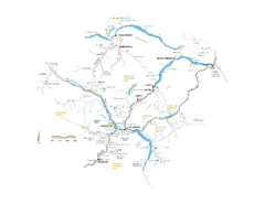
Pemberton Valley Area Parks Map
Area parks map of Pemberton Valley area in BC. Shows peaks and lakes.
239 miles away
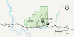
Clarno Unit John Day Fossils Beds National...
241 miles away
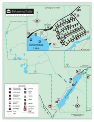
Birkenhead Lake Provincial Park Map
Park map of Birkenhead Lake Provincial Park, BC. Inset of campground
241 miles away
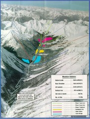
Cayoosh Resort (Melvin Creek) Ski Trail Map
Trail map from Cayoosh Resort (Melvin Creek), which provides downhill skiing.
244 miles away
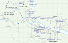
Kennewick Hotel Map
245 miles away
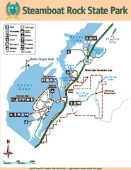
Steamboat Rock State Park Map
Map of park with detail of trails and recreation zones
245 miles away
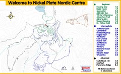
Nickel Plate Nordic Centre Ski Trail Map
Trail map from Nickel Plate Nordic Centre.
246 miles away
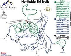
Nickel Plate Nordic Centre North Ski Trail Map
Trail map from Nickel Plate Nordic Centre.
247 miles away
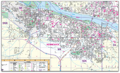
Kennewick, Washington City Map
248 miles away

