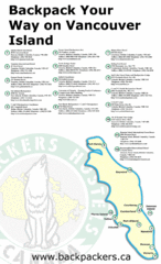
Vancouver Island Backpacking Map
Shows hostels on Vancouver Island, BC
182 miles away
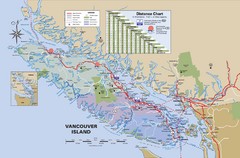
Vancouver Island Map
182 miles away
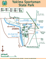
Yakima Sportsman State Park Map
Map of park with detail of trails and recreation zones
182 miles away
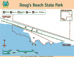
Dougs Beach State Park Map
Map of park with detail of trails and recreation zones
182 miles away
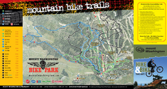
Mt. Washington Resort Summer Mountain Biking Ski...
Trail map from Mt. Washington Resort, which provides downhill and nordic skiing.
182 miles away
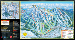
Mt. Washington Resort Ski Trail Map
Trail map from Mt. Washington Resort, which provides downhill and nordic skiing.
182 miles away
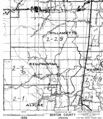
Transportaion for Benton County 1936 Map
1936 Map of Benton County, Oregon known as Muddy Area with counties, roads and towns marked
183 miles away
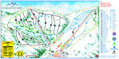
Hemlock Resort Ski Trail Map
Trail map from Hemlock Resort, which provides downhill and terrain park skiing. It has 4 lifts...
183 miles away
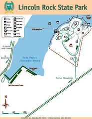
Lincoln Rock State Park Map
184 miles away
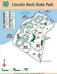
Lincoln Rock State Park Map
Map of park with detail of trails and recreation zones
184 miles away
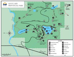
Alice Lake Provincal Park Map
185 miles away
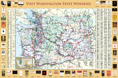
Washington State Winery Map
Washington State Winery Map
185 miles away
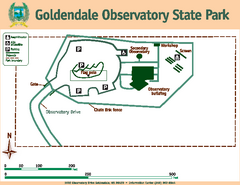
Goldendale State Park Map
Map of park with detail of trails and recreation zones
187 miles away
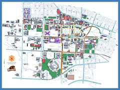
Oregon State University Campus Map
Campus map of Oregon State University in Corvallis, Oregon
188 miles away
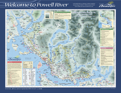
Upper Sunshine Coast Recreation Map
Recreation map of Upper Sunshine Coast in BC. Shows hiking trails, kayaking and canoeing routes...
189 miles away
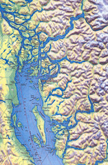
Northern Gulf Map
Map of Northern Gulf Islands
191 miles away
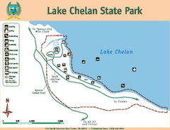
Lake Chelan State Park Map
Map of island with detail of trails and recreation zones
193 miles away
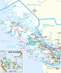
Vancouver Island Park Map
Parks and roads on Vancouver Island.
193 miles away
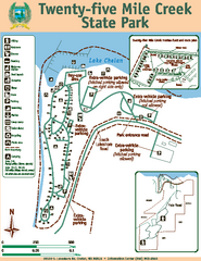
Twenty-Five Mile Creek State Park Map
Map of park with detail of trails and recreation zones
196 miles away
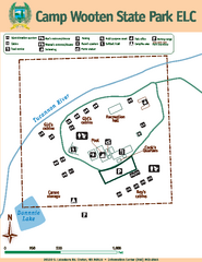
Camp Wooten State Park Map
Map of park with detail of trails and recreation zones
197 miles away
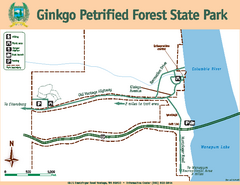
Ginkgo Petrified Forest State Park Map
Map of park with detail of trails and recreation zones
198 miles away
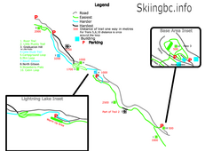
Manning Park Resort 2004–07 Manning Park...
Trail map from Manning Park Resort, which provides downhill and nordic skiing. It has 4 lifts...
199 miles away
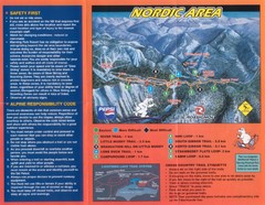
Manning Park Resort 2004–07 Manning Park Cross...
Trail map from Manning Park Resort, which provides downhill and nordic skiing. It has 4 lifts...
199 miles away
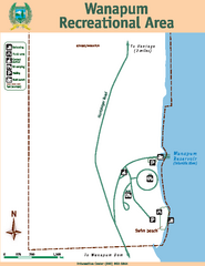
Wanapum Recreational Area Map
Map of park with detail of trails and recreation zones
200 miles away
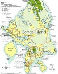
Cortes Island tourist map
Tourist map of Cortes Island in British Columbia, Canada. Shows businesses and roads.
202 miles away
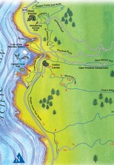
Cape Perpetua Map
203 miles away
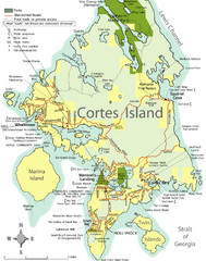
Cortes Island Tourist Map
Places of interest.
205 miles away
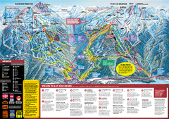
Whistler Blackcomb Trail map 2010-2011
Official ski trail map Whistler Blackcomb for the 2010-2011 season.
207 miles away

Creekside Map
Tourist map of Creekside Village
207 miles away
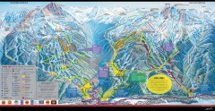
Whistler Blackcomb Ski Trail map 2005-06
Official ski trail map of the Whistler Blackcomb ski area from the 2005-2006 season. Site of the...
207 miles away
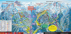
Whistler Blackcomb Ski Trail Map 2007-2008
Official ski trail map of the Whistler Blackcomb ski area from the 2007-2008 season. Site of Alpine...
208 miles away
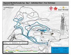
Whistler Olympic Park (Callaghan Nordic Centre...
Trail map from Whistler Olympic Park (Callaghan Nordic Centre), which provides night and nordic...
209 miles away
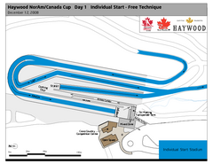
Whistler Olympic Park (Callaghan Nordic Centre...
Trail map from Whistler Olympic Park (Callaghan Nordic Centre), which provides night and nordic...
209 miles away
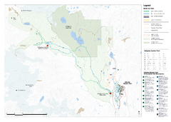
Callaghan Country Nordic Ski Trail Map
Trail map from Callaghan Country, which provides nordic skiing. This ski area opened in 1998, and...
209 miles away
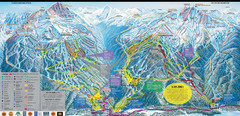
Whistler Blackcomb Ski Resort Map
Ski runs, lifts and amenities on the resort map
209 miles away
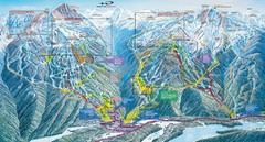
Whistler Blackcomb Trail Map
209 miles away
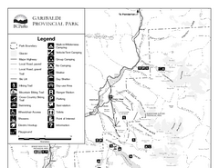
Garibaldi Provincial Park Map
Park map of Garibaldi Provincial Park, BC. 2 pages.
209 miles away
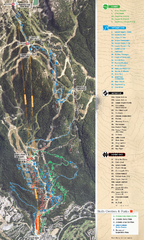
Whistler Blackcomb (Garibaldi Lift Co.) Biking...
Trail map from Whistler Blackcomb (Garibaldi Lift Co.), which provides downhill, night, and terrain...
209 miles away
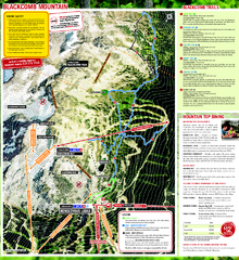
Whistler Blackcomb (Garibaldi Lift Co.) Hiking...
Trail map from Whistler Blackcomb (Garibaldi Lift Co.), which provides downhill, night, and terrain...
209 miles away

