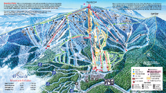
49 North Mountain Resort Ski Trail Map
Trail map from 49 North Mountain Resort, which provides downhill, night, nordic, and terrain park...
215 miles away
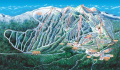
Big White Ski Trail Map
Official ski trail map of Big White ski area from the 2007-2008 season.
218 miles away
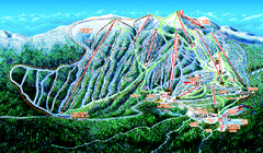
Big White Ski Resort Ski Trail Map
Trail map from Big White Ski Resort, which provides downhill, night, nordic, and terrain park...
219 miles away
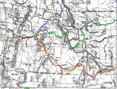
Oregon Trail Map
Old sketch map with modern cities, forts/ trading posts, and missions/churches superimposed. Shows...
219 miles away
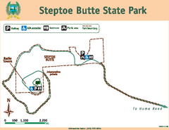
Steptoe Butt State Park Map
Map of park with detail of trails and recreation zones
219 miles away
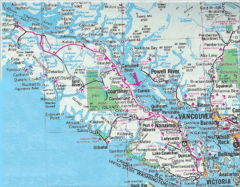
Vancouver Island Road Map
221 miles away
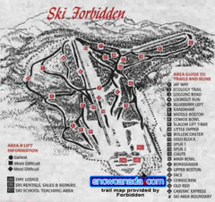
Pre-1999 Forbidden Plateau Map #2
Trail map from Forbidden Plateau.
222 miles away
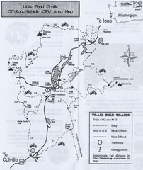
Little Pend Oreille Off Road Vehicle (ORV) Area...
Map of the Off Road Vehicle Area in Little Pend Oreille, Washington. Includes all bike trails...
222 miles away
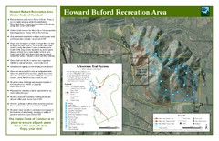
Howard Buford Recreational Area Trails Map
Map of the Howard Buford Recreational Area trails, roads, picnic areas, bathrooms, attractions.
222 miles away
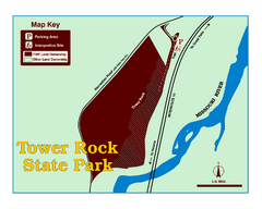
Tower Rock State Park Map
Tower Rock State Park is one of Montana's newest state parks. The 400-foot high igneous rock...
224 miles away
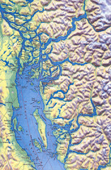
Northern Gulf Map
Map of Northern Gulf Islands
224 miles away
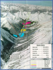
Cayoosh Resort (Melvin Creek) Ski Trail Map
Trail map from Cayoosh Resort (Melvin Creek), which provides downhill skiing.
224 miles away
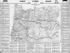
Oregon Military Map
Detailed guide to military forts, camps and roads on teh western Oregon coast
224 miles away
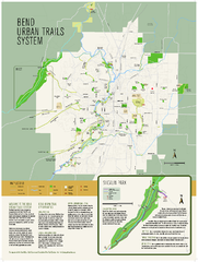
Bend urban trails system Map
The Bend Urban Trail System currently includes approximately 48 developed miles of trails which...
225 miles away
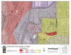
Bend, Oregon Zoning Map
Map of the zoning area changes in Bend, Oregon. Includes color-coded zoning areas.
225 miles away
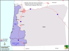
Oregon Coho Salmon Map
Shows federally listed coho salmon evolutionarily significant units in Washington state.
226 miles away
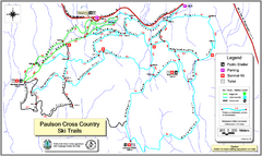
Paulson X-C (Castlegar Nordic) Ski Trail Map
Trail map from Paulson X-C (Castlegar Nordic), which provides nordic skiing. This ski area has its...
227 miles away
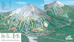
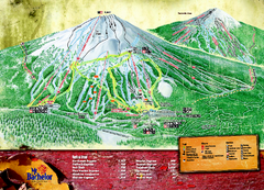
Mt. Bachelor Ski Trail map
Official ski trail map of Mount Bachelor ski area from the 2006-2007 season.
227 miles away

Red Mountain Trail Map
Ski trail map
227 miles away

Pullman Parks Trail Map
Trails and pathways map
228 miles away
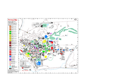
Washington State University Map
Washington State University Campus Map. All buildings shown.
228 miles away
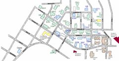
Washington State University's Greek Row Map
Map of WSU's fraternities and sororities
228 miles away
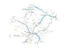
Pemberton Valley Area Parks Map
Area parks map of Pemberton Valley area in BC. Shows peaks and lakes.
228 miles away

Red Mountain Ski Trail Map
Trail map from Red Mountain.
228 miles away

2006–08 Black Jack Nordic Map
Trail map from Black Jack.
229 miles away
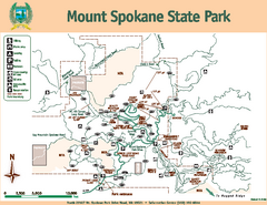
Mount Spokane State Park Map
Map of park with detail of trails and recreation zones
229 miles away
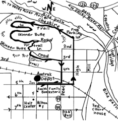
Eugene Oregon Walk, Skinner Butte and River Path...
Walk on the Willamette River Bike path, up Skinner Butte on a forest path and through a historic...
229 miles away
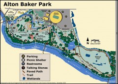
Alton Baker Park Map
Shows parking, picnic shelters, restrooms, talking stones, paved path, trail, and wetlands. Alton...
229 miles away
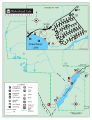
Birkenhead Lake Provincial Park Map
Park map of Birkenhead Lake Provincial Park, BC. Inset of campground
229 miles away
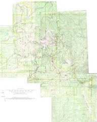
Mount Spokane Trail Map
Contour map of Mount Spokane
229 miles away
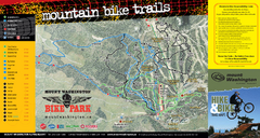
Mt. Washington Resort Summer Mountain Biking Ski...
Trail map from Mt. Washington Resort, which provides downhill and nordic skiing.
230 miles away
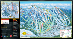
Mt. Washington Resort Ski Trail Map
Trail map from Mt. Washington Resort, which provides downhill and nordic skiing.
230 miles away

Eugene Parks map
City of Eugene Parks Map. Includes streets and trails.
230 miles away
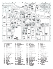
University of Oregon campus map
University of Oregon campus map with building abbreviations
230 miles away
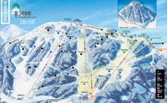
Mt. Spokane Ski Trail Map
Official ski trail map of Mount Spokane ski area from the 2006-2007 season.
230 miles away
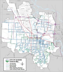
Eugene, Oregon City Map
230 miles away

