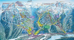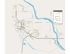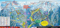
Whistler Blackcomb Ski Trail Map 2007-2008
Official ski trail map of the Whistler Blackcomb ski area from the 2007-2008 season. Site of Alpine...
200 miles away

Phoenix Mountain Ski Trail Map
Trail map from Phoenix Mountain.
200 miles away

Creekside Map
Tourist map of Creekside Village
201 miles away
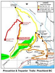
Peachland Walks Map
Guide to Pincushion and Trepanier Trails in Peachland, BC
201 miles away
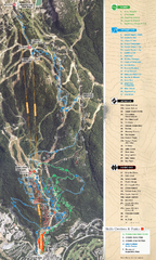
Whistler Blackcomb (Garibaldi Lift Co.) Biking...
Trail map from Whistler Blackcomb (Garibaldi Lift Co.), which provides downhill, night, and terrain...
202 miles away
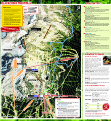
Whistler Blackcomb (Garibaldi Lift Co.) Hiking...
Trail map from Whistler Blackcomb (Garibaldi Lift Co.), which provides downhill, night, and terrain...
202 miles away
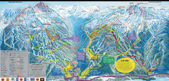
Whistler Blackcomb Ski Resort Map
Ski runs, lifts and amenities on the resort map
202 miles away
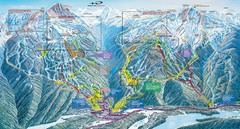
Whistler Blackcomb Trail Map
202 miles away
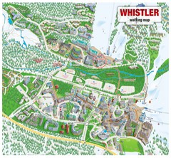
Whistler Village Map
202 miles away
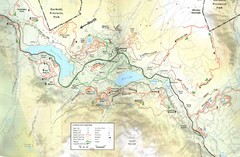
Whistler, CA Hiking and Biking Trails Map
202 miles away
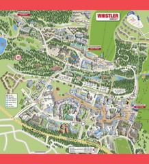
Whistler Village Map
202 miles away
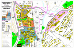
Whistler Village Map
202 miles away
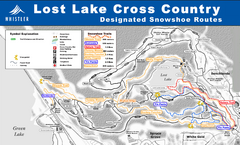
Whistler Cross Country Connection Snowshoeing Ski...
Trail map from Whistler Cross Country Connection.
202 miles away
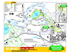
Whistler Cross Country Connection 2006–07...
Trail map from Whistler Cross Country Connection.
202 miles away
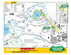
Lost Lake, Whistler Hiking and Biking Trail Map
203 miles away
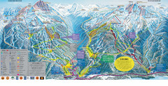
Trail Map Whistler Blackcomb
Map of all trails and ski runs at Whistler and Blackcomb mountains. Includes detailed information...
203 miles away
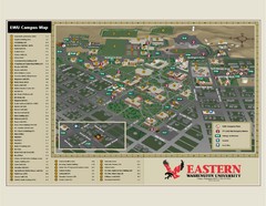
Eastern Washington University Campus Map
Campus map of Eastern Washington University in Cheney, Washington
204 miles away
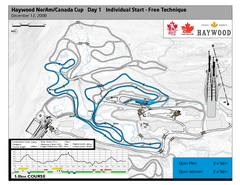
Whistler Olympic Park (Callaghan Nordic Centre...
Trail map from Whistler Olympic Park (Callaghan Nordic Centre), which provides night and nordic...
205 miles away
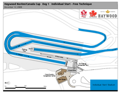
Whistler Olympic Park (Callaghan Nordic Centre...
Trail map from Whistler Olympic Park (Callaghan Nordic Centre), which provides night and nordic...
205 miles away
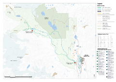
Callaghan Country Nordic Ski Trail Map
Trail map from Callaghan Country, which provides nordic skiing. This ski area opened in 1998, and...
205 miles away
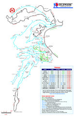
Telemark Cross Country Ski Trail Map
Trail map from Telemark Cross Country, which provides nordic skiing. This ski area has its own...
206 miles away
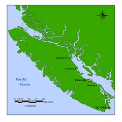
Vancouver Island Overview Map
Town of Parksville highlighted.
207 miles away
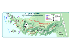
Yaquina Head Outstanding National Area Map
207 miles away
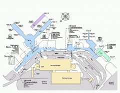
Spokane International Airport Terminal Map
Official Map of Spokane International Airport in Washington state. Shows all terminals.
207 miles away
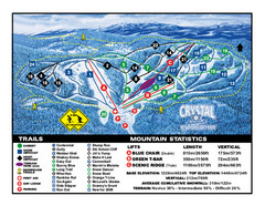
Crystal Mountain Resort Ski Trail Map
Trail map from Crystal Mountain Resort, which provides downhill skiing. This ski area has its own...
207 miles away
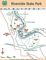
Riverside State Park Map
Map of park with detail of trails and recreation zones
208 miles away
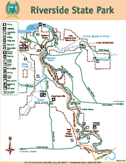
Riverside State Park Map
Map of park with detail of trails and recreation zones
208 miles away
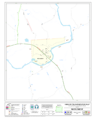
Monument Oregon Road Map
208 miles away
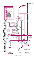
Nye Beach Tourist Map
209 miles away
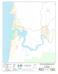
Newport Oregon Road Map
209 miles away
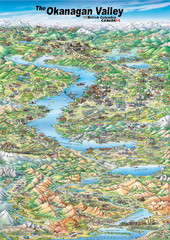
Pictorial map of the Okanagan Valley
211 miles away
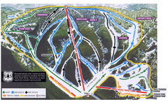
Bluewood Ski Trail Map
211 miles away
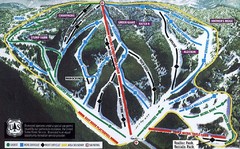
Bluewood Ski Trail Map
Trail map from Bluewood, which provides downhill, nordic, and terrain park skiing. It has 3 lifts...
211 miles away
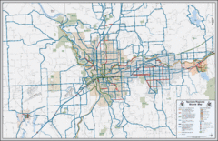
Spokane, Washington Bike Map
213 miles away
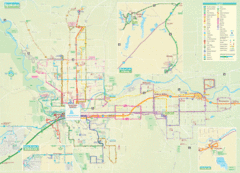
Spokane Guide Map
Roads and areas in and around Spokane, Washington
213 miles away
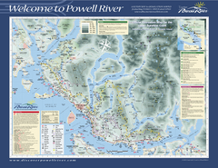
Upper Sunshine Coast Recreation Map
Recreation map of Upper Sunshine Coast in BC. Shows hiking trails, kayaking and canoeing routes...
214 miles away
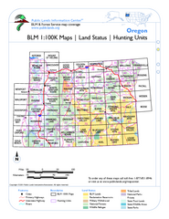
Oregon Hunting Unit/BLM Map Index
This map shows which BLM land ownership maps cover all hunting units in Oregon. Color indicates...
215 miles away
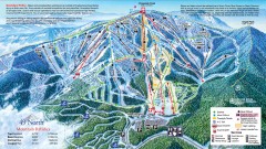
49 Degrees North Ski Trail Map
Official ski trail map of ski area from the 2007-2008 season.
215 miles away

