San Juan Island tourist map
San Juan Island and Friday Harbor tourist map. Shows all businesses.
112 miles away
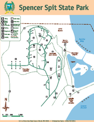
Spencer Spit State Park Map
Map of park with detail of trails and recreation zones
112 miles away
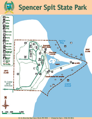
Spencer Spit State Park Map
Map of park with detail of trails and recreation zones
112 miles away

Galloping Goose and Lochside Regional Trails Map
112 miles away
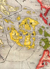
San Juan County Washington, 1909 Map
115 miles away
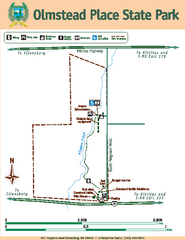
Olmstead Place State Park Map
Map of park with detail of trails and recreation zones
115 miles away

Yakima, Washington City Map
116 miles away

Orcas tourist map
Tourist map of Orcas, Washington. Shows all businesses.
116 miles away

Skagit County Washington, 1909 Map
117 miles away
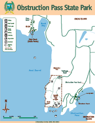
Obstruction Pass State Park Map
Map of park with detail of trails and recreation zones
117 miles away
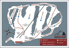
Cooper Spur Ski Area Ski Trail Map
Trail map from Cooper Spur Ski Area.
117 miles away
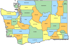
Washington State Counties Map
117 miles away
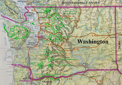
Washington State Road and Recreation Map
117 miles away
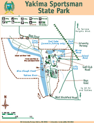
Yakima Sportsman State Park Map
Map of park with detail of trails and recreation zones
119 miles away

rthsaanich.ca District Map
119 miles away
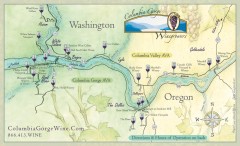
Columbia Gorge Wine Map
Wineries of the Columbia River Gorge area, Oregon.
120 miles away
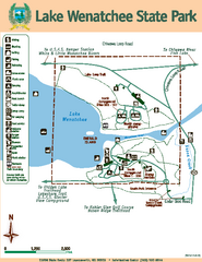
Lake Wenatchee State Park Map
Map of island with detail of trails and recreation zones
120 miles away
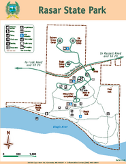
Rasar State Park Map
Map of park with detail of trails and recreation zones
120 miles away
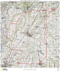
Spring Century Bike Route Map
Oregon Spring Century Ride
120 miles away
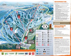
Mission Ridge Ski Trail Map
Official ski trail map of Mission Ridge ski area from the 2007-2008 season.
121 miles away
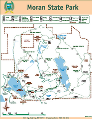
Moran State Park Map
Map of park with detail of trails and recreation zones
121 miles away
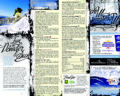
Mission Ridge Ski Area Ski Trail Map
Trail map from Mission Ridge Ski Area, which provides downhill, night, and terrain park skiing. It...
121 miles away
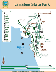
Larrabee State Park Map
Map of island with detail of trails and recreation zones
122 miles away

The Town of Sidney - Parks Map
122 miles away
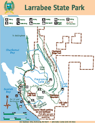
Larrabee State Park Map
Map of island with detail of trails and recreation zones
122 miles away
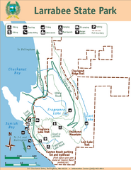
Larrabee State Park Map
Park map of Larrabee State Park, Washington.
122 miles away
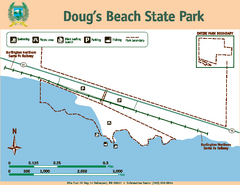
Dougs Beach State Park Map
Map of park with detail of trails and recreation zones
122 miles away

Timberline Ski Area Ski Trail Map
Trail map from Timberline Ski Area.
124 miles away
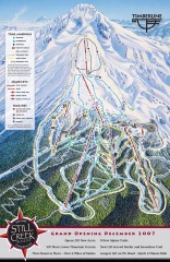
Timberline Ski Trail Map
Official ski trail map of Timberline Lodge ski area from the 2007-2008 season.
124 miles away
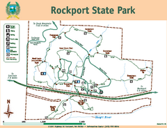
Rockport State Park Map
Map of park with detail of trails and recreation zones
125 miles away
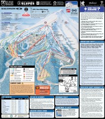
Mt. Hood Meadows Ski Trail Map
Official ski trail map of Mt. Hood Meadows ski area from the 2007-2008 season.
125 miles away
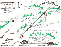
Summit Ski Area Ski Trail Map
Trail map from Summit Ski Area.
125 miles away
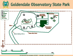
Goldendale State Park Map
Map of park with detail of trails and recreation zones
125 miles away
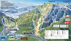
Mt. Hood Skibowl Ski Trail Map
Official ski trail map of ski area from the 2007-2008 season.
125 miles away
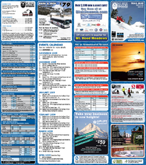
Mt. Hood Meadows Ski Resort Ski Trail Map
Trail map from Mt. Hood Meadows Ski Resort.
125 miles away

Mt. Hood SkiBowl Ski Trail Map
Trail map from Mt. Hood SkiBowl.
125 miles away
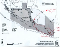
Lake Padden Park Trails Map
Course Elevation Map noted in handwriting on map. Festival location noted as well.
126 miles away
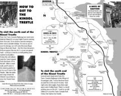
Kinsol Trestle Map
Map of the Kinsol Trestle
127 miles away

