
Coupeville tourist map
Tourist map of Coupeville, Washington. Shows all businesses.
91 miles away
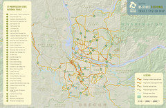
Bi-State Regional Trail System Plan Map
Shows plan for developing 37 Bi-State Regional Trails
93 miles away
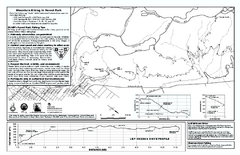
Forest Park Mountain Biking Map
Forest Park now includes over 5,100 wooded acres making it the largest, forested natural area...
94 miles away

Arlington and Smokey Point tourist map
Tourist map of Arlington and Smokey Point, Washington. Shows all businesses.
95 miles away
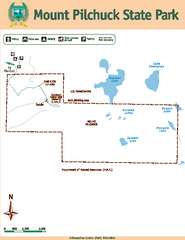
Mount Pilchuck State Park Map
Map of park with detail of trails and recreation zones
95 miles away

Maywood Park Oregon Road Map
96 miles away
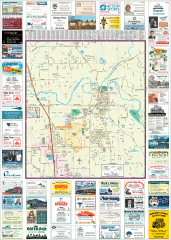
Arlington tourist map
Tourist map of Arlington, Washington. Shows all businesses.
96 miles away
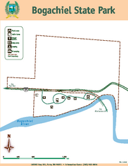
Bogachiel State Park Map
Map of park with detail of trails and recreation zones
96 miles away

Oak Harbor tourist map
Tourist map of Oak Harbor, Washington. Shows all businesses.
96 miles away
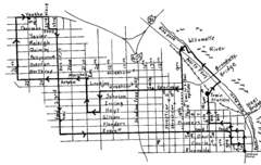
Pearl District Walking Map, Portland Oregon Map
Walk through the Pearl District, along the Willamette River and up to 23rd Street. Detour to the...
96 miles away
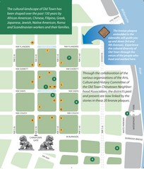
Old Town-China Town Map
Portland's oldest neighborhoods and history are easily seen in Old Town-China Town.
97 miles away
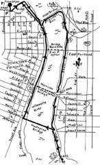
Portland Oregon downtown walk Map
Walk from the Amtrak Station to the Oregon Museum of Science and Industry. 4 miles round trip...
97 miles away
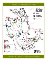
Portland Japanese Garden Map
So Far My favorite Japanese Garden
97 miles away
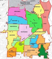
Portland, Oregon Neighborhood Map
97 miles away
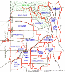
Portland, Oregon Neighborhood Map
97 miles away
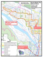
Portland, Oregon Bike Map
97 miles away
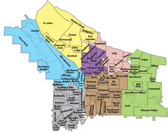
Portland, Oregon Neighborhood Map
97 miles away
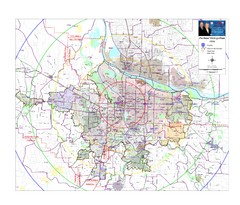
Portland, Oregon Tourist Map
97 miles away
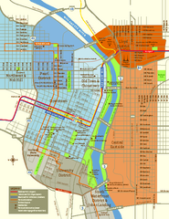
Central Portland, Oregon Map
Tourist map of Portland, Oregon. Shows museums, sports arenas, parks, and public transportation.
97 miles away
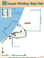
Joseph Whidbey State Park Map
Map of park with detail of trails and recreation zones
97 miles away
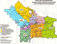
Portland Neighborhood Map
Shows neighborhood associations of Portland, Oregon.
97 miles away
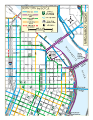
North Downtown Portland Bike Parking Map
Biking map of northern downtown Portland, Oregon. Shows bike paths, parking, and stores.
97 miles away
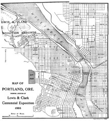
Portland, Oregon Map
Map of Portland, Oregon during centennial exposition of the Lewis & Clark Exploration...
97 miles away
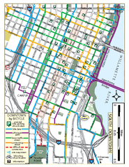
South Downtown Portland Bike Map
Biking map of southern downtown Portland, Oregon. Shows bike paths, bike parking, and bike shops.
97 miles away
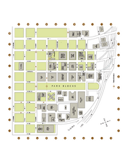
Portland State University Map
Campus Map of Portland State University. All buildings shown.
98 miles away
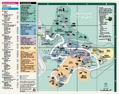
Oregon Zoo Map 2009
98 miles away
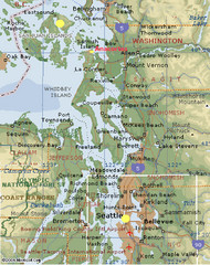
Washington State - West Coast Map
Washington State - West Coast Map
98 miles away
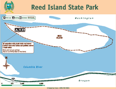
Reed Island State Park Map
Map of park with detail of trails and recreation zones
99 miles away
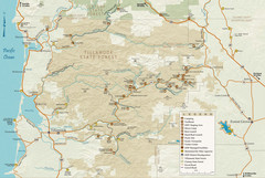
Tillamook State Forest Map
Recreation map of Tillamook State Forest. Over 60 miles of non-motorized trails and 150 miles of...
99 miles away
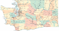
Washington Road Map
Road map of state of Washington
99 miles away
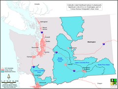
Washington Steelhead Salmon Map
Shows federally listed steelhead salmon evolutionarily significant units in Washington state.
99 miles away
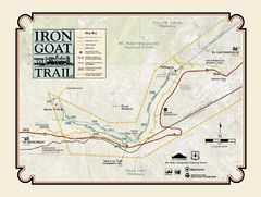
Iron Goat Trail Map
99 miles away
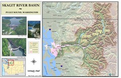
Skagit River Map
Skagit River Basin Overview Map (Pink shading is the FEMA 100 Year Flood)
100 miles away
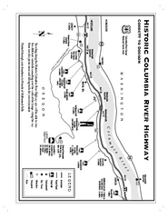
Historic Columbia River Highway Map
Official map from the US Forest Service. Shows the Corbett to Dodson stretch of Highway 30 with...
100 miles away
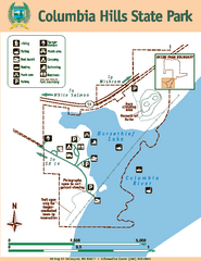
Columbia Hills State Park Map
Map of park with detail of trails and recreation zones
101 miles away
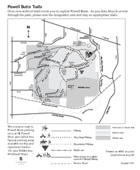
Powell Butte Nature Park Trail Map
Trail map of Powell Butte Nature Park. Shows over 9 miles of trails
101 miles away
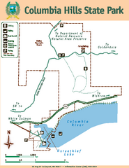
Columbia Hills State Park Map
Map of park with detail of trails and recreation zones
101 miles away
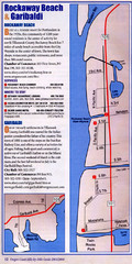
Rockaway Beach Map
103 miles away
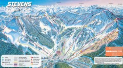
Stevens Pass Ski Trail Map
Official ski trail map of Stevens Pass ski area
103 miles away


