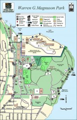
Warren G. Magnuson Park Map
Map of Warren G. Magnuson Park Warren G. Magnuson Park sits on a splendid mile-long stretch of...
61 miles away
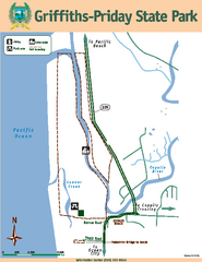
Griffiths-Priday State Park Map
Griffiths-Priday State Park
61 miles away
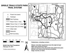
Bridle Trails State Park Map
62 miles away
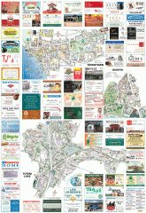
Kirkland tourist map
Kirkland, Washington tourist map. Shows all businesses.
62 miles away
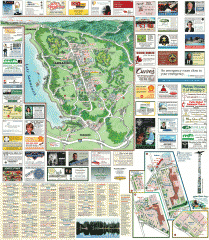
Sammamish tourist map
Sammamish, Washington tourist map. Shows all businesses.
63 miles away
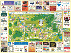
Snoqualmie tourist map
Snoqualmie, Washington tourist map. Shows all businesses.
63 miles away
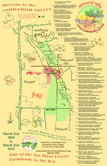
Sammamish Valley Guide Map
64 miles away
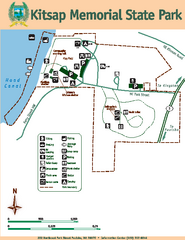
Kitsap Memorial State Park Map
Map of island with detail of trails and recreation zones
64 miles away
Stottlemeyer trails Map
64 miles away
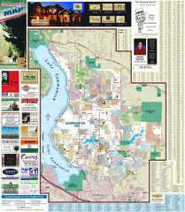
Sammamish tourist map
Tourist map of Sammamish, Washington. Shows all businesses.
64 miles away
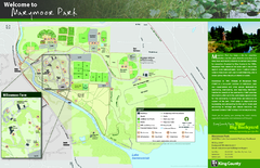
Marymoor Park Map
64 miles away
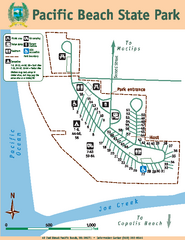
Pacific Beach State Park Map
Map of park with detail of trails and recreation zones
64 miles away

Greater Kirkland tourist map
Tourist map of Greater Kirkland, Washington. Shows all businesses.
64 miles away
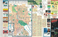
Redmond Area tourist map
Tourist map of the Redmond Area on Washington. Shows all businesses.
64 miles away
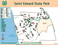
Saint Edward State Park Map
Map of park with detail of trails and recreation zones
64 miles away
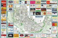
Redmond tourist map
Tourist map of Redmond, Washington. Shows all businesses.
64 miles away

Shadowrun Redmond Map
65 miles away
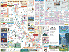
Snoqualmie Valley tourist map
Tourist map of the Snoqualmie Valley, Washington. Shows all businesses.
65 miles away
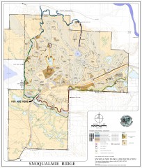
Snoqualmie Trail Map
Shows both soft surface and paved trails for biking, running/hiking/wailking, and horseback riding
66 miles away
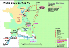
Pedal the Pinchot Bike Ride Route Map
Route Map for the Pedal the Pinchot 99 bike ride - annotated on a Park trail map.
66 miles away
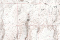
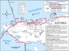
Astoria Oregon Map
A detailed topographic map of Astoria, Oregon and the Columbia River.
67 miles away
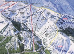
Crystal Mountain Ski Trail Map - Northway Area
Official ski trail map of the Northway area of Crystal Mountain ski area from the 2007-2008 season...
67 miles away
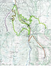
White River 50 Course Map
White River 50 Mile Trail Run
67 miles away
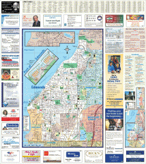
Edmonds tourist map
Tourist map of Edmonds, Washington. Shows all businesses.
67 miles away
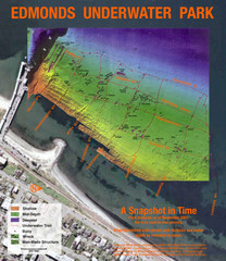
Edmonds Underwater Park Map
Map of underwater park for divers
67 miles away
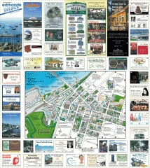
Downtown Edmonds tourist map
Tourist map of Downtown Edmonds, Washington. Shows all businesses.
67 miles away
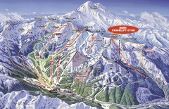
Crystal Mountain Ski Trail Map
Official ski trail map of Crystal Mountain ski area from the 2007-2008 season. 2600 acres of...
68 miles away
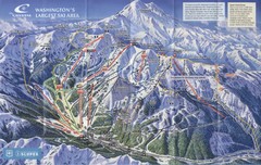
Crystal Mountain Resort Ski Trail Map
Trail map from Crystal Mountain Resort, which provides downhill skiing. It has 10 lifts servicing...
68 miles away
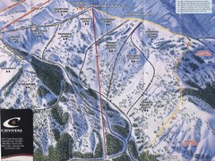
Crystal Mountain Resort Northway Inset Ski Trail...
Trail map from Crystal Mountain Resort, which provides downhill skiing. It has 10 lifts servicing...
68 miles away
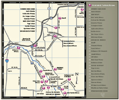
Woodinville Wine Country Map
Map of wineries in the Woodinville, WA area
69 miles away

Woodinville tourist map
Tourist map of Woodinville, Washington. Shows all businesses.
69 miles away
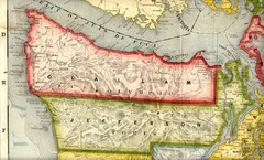
Clallam and Jefferson Counties Washington, 1909...
69 miles away
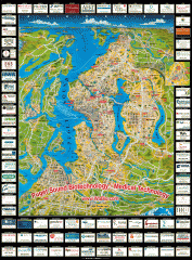
Puget Sound biotech map
Map of Puget Sound area biotechnology companies.
69 miles away
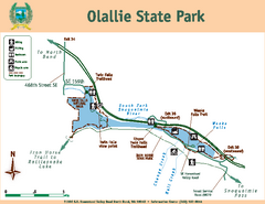
Olallie State Park Map
Map of park with detail of trails and recreation zones
69 miles away
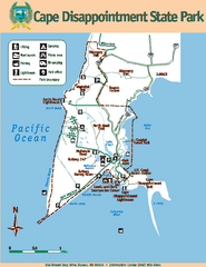
Cape Dissapointment State Park Map
Map of park with detail of trails and recreation zones
70 miles away
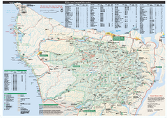
Olympic National Park wilderness campsite map
Official wilderness campsite map of Olympic National Park. Shows roads, trails, visitor...
70 miles away
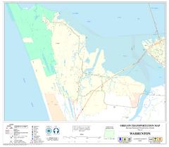
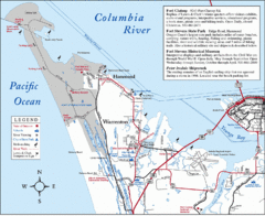
Warrenton Oregon Road Map
71 miles away
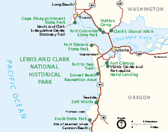
Lewis & Clark National Historic Trail...
Official NPS map of Lewis & Clark National Historic Trail in Oregon-Washington. Shows all areas...
71 miles away

