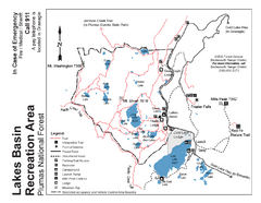
Lakes Basin Recreation Area Trail Map
Trail map of Lakes Basin Recreation Area in Plumas National Forest near Graeagle, California...
512 miles away
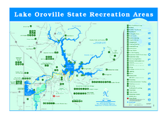
Lake Oroville State Recreation Area Map
Recreation overview map of Lake Oroville State Recreation Area near Oroville, California. Show all...
512 miles away
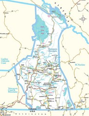
British Columbia, Canada Tourist Map
515 miles away
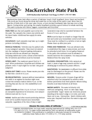
MacKerricher State Park Campground Map
Map of campground region of park with detail of trails and recreation zones
516 miles away
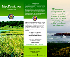
MacKerricher State Park Map
Map of park with detail of trails and recreation zones
516 miles away

Helena, Montana City Map
516 miles away
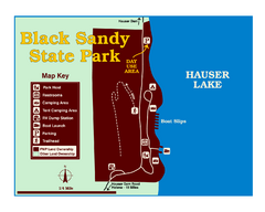
Black Sandy State Park Map
Simple but clear map of State Park.
521 miles away
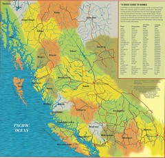
First Nations Peoples of British Columbia Map
"The boundaries between territories are deliberately shown as blending into one another, in...
523 miles away
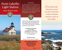
Point Cabrillo Light Station State Historic Park...
Map of park with detail of trails and recreation zones
525 miles away
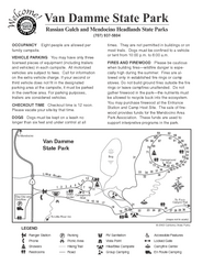
Russian Gulch State Park Campground Map
Map of campground region of park with detail of trails and recreation zones
526 miles away
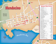
Mendocino Tourist Map
Tourist map of town of Mendocino, California. Shows shops and services.
528 miles away
Mendocino Headlands State Parks Map
Map of parks with detail of trails and recreation zones
528 miles away
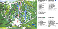
Murray Ridge Ski Trail Map
Trail map from Murray Ridge, which provides downhill and nordic skiing. This ski area has its own...
529 miles away

Van Damme State Park Map
Park map of Van Damme State Park near Mendocino, California. Show Fern Valley Trail through...
530 miles away
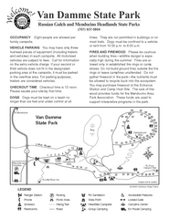
Van Damme State Park Campground Map
Map of campground region of park with detail of trails and recreation zones
530 miles away
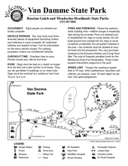
Van Damme State Park Campground Map
Map of campground region of park with detail of trails and recreation zones
530 miles away
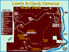
Lewis and Clark Caverns State Park Map
Montana's first and best-known state park showcases one of the most highly decorated limestone...
531 miles away
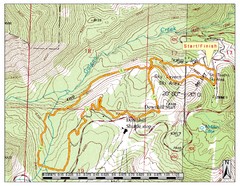
Sky Tavern XC Route Map
Topo map of the XC course for the cycling event.
532 miles away
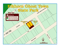
Elkhorn Ghost Town State Park Map
Clearly marked map of old 1880's ghost town with impressive structures.
532 miles away

Snowmobiling Map, Elko County, Nevada
Map of snowmobiling opportunities in Elko County, Nevada. Snowmobiling areas, roads, and towns are...
532 miles away

Reno Tahoe Tourist Map
534 miles away

Reno, Nevada City Map
534 miles away
South Yuba River State Park Map
Map of park with detail of trails and recreation zones
534 miles away

Downtown Reno, Nevada Map
Tourist map of Reno, Nevada. Event and convention centers, visitor's center, parks, and other...
535 miles away
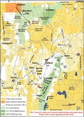
Land Use Map of Elko County, Nevada
Land use map of Elko County, Nevada. Shows lands classified as public or private, and owners of...
536 miles away
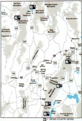
Cross-country Skiing, Elko County, Nevada Map
Map of cross-country skiing opportunities in Elko County, Nevada. Shows skiing locations, roads...
536 miles away
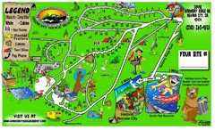
Harmony Ridge Resort Map
537 miles away
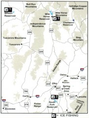
Icefishing Map, Elko County, Nevada
Map of ice fishing locations in Elko County, NV. Shows reservoirs, roads and towns.
537 miles away
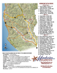
Mendocino Beer and Wine Tasting Map
Beer and wine tasting map of Mendocino county, California. Show breweries and wineries on the...
537 miles away

Nevada Map
538 miles away
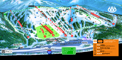
Boreal Mountain Resort Ski Trail Map
Trail map from Boreal Mountain Resort, which provides downhill, night, and terrain park skiing. It...
540 miles away

Tahoe Donner Ski Trail Map
Trail map from Tahoe Donner, which provides downhill, night, and nordic skiing. It has 3 lifts...
540 miles away
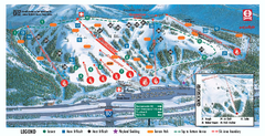
Boreal Ski Trail Map
Official ski trail map of Boreal ski area
540 miles away
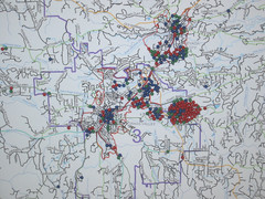
Nevada County Economic Resource Council Activity...
The ERC supports many different businesses in western Nevada County. We provide business assistance...
541 miles away
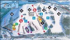
Soda Springs Ski Trail Map
Trail map from Soda Springs, which provides downhill and terrain park skiing. It has 2 lifts...
541 miles away
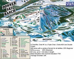
Donner Ski Ranch Ski Trail Map
Trail map from Donner Ski Ranch, which provides downhill and terrain park skiing. It has 6 lifts...
541 miles away
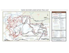
Tahoe Donner Ski Trail Map
Official ski trail map of Tahoe Donner Association. Shows both downhill and cross-country ski...
541 miles away
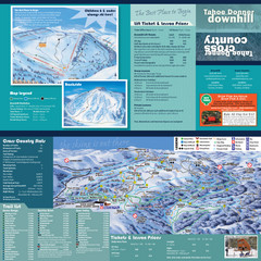
Tahoe Donner Cross Country Ski Trail Map
Ski trail map of Tahoe Donner Association. Shows both downhill and cross-country ski trails...
541 miles away
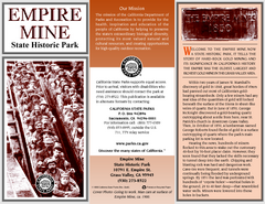
Empire Mine State Historic Park Map
Map of park with detail of trails and recreation zones
542 miles away
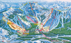
Sugar Bowl Resort Ski Trail Map
Trail map from Sugar Bowl Resort, which provides downhill and terrain park skiing. It has 12 lifts...
542 miles away

