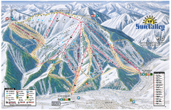
Sun Valley Ski Area Trail Map
Official ski trail map of Bald Mountain, the main mountain of Sun Valley ski area in Sun Valley...
471 miles away
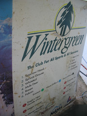
2001 Wintergreen Downhill Map Part 2
Trail map from Wintergreen.
471 miles away
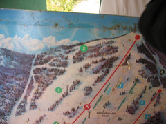
2001 Wintergreen Downhill Map Part 1
Trail map from Wintergreen.
471 miles away
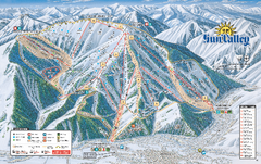
Sun Valley Ski Trail Map 2008
Ski trail map of Sun Valley ski area
471 miles away
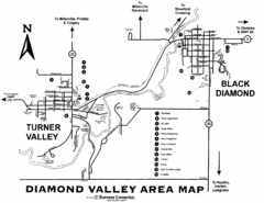
Diamond Valley Area Map
Map of Diamond Valley are, with Turner Valley & Black Diamond oil towns
472 miles away
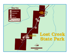
Lost Creek State Park Map
These spectacular gray limestone cliffs and pink and white granite formations rise 1,200 feet above...
473 miles away
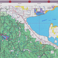
Lassen National Park Map
Forest Visitor Map of the farthest east of the park, shows all camping and recreational areas and...
477 miles away
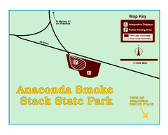
Anaconda Smoke Stack State Park Map
Simple map of State Park.
477 miles away
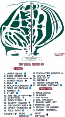
Maverick Mountain Ski Area Ski Trail Map
Trail map from Maverick Mountain Ski Area.
478 miles away
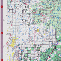
Lassen National Park Map
Visitor Map that shows most of Lassen National Forest with locations of camp grounds and...
478 miles away
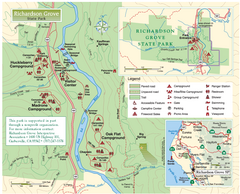
Richardson Grove State Park Map
Park map of Richardson Grove State Park, California. Shows trails, campgrounds, and other...
479 miles away
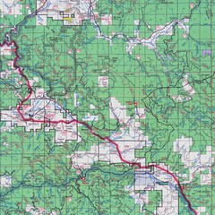
Lassen National Park Map
Forest Visitor Map showing locations of most camping and recreational areas in the eastern part of...
479 miles away
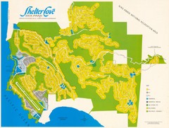
Shelter Cove Map
Shelter Cove Subdivision Map. Shows all streets, houses, commercial buildings, gas stations, and...
479 miles away
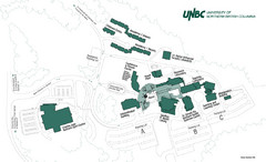
University of Northern British Columbia Campus Map
Campus map of UNBC in Prince George, British Columbia
482 miles away
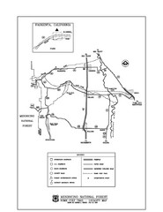
Mendocino National Forest map
Map of the Nome Cult Trail Walk in the Mendocino National Forest.
484 miles away
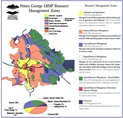
Prince George LRMP Resource Management Zone Map
Prince George Land and Resource Management Plan, color coded by land use.
484 miles away
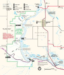
Hagerman Fossil Beds National Monument Map
Official map of Hagerman Fossil Beds National Monument in Hagerman, Idaho
484 miles away
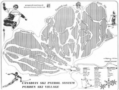
Purden Ski Village Ski Trail Map
Trail map from Purden Ski Village.
485 miles away
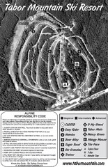
Tabor Mountain 2005–08 Tabor Downhill Map
Trail map from Tabor Mountain.
487 miles away
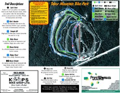
Tabor Mountain 2005–07 Tabor Summer Map
Trail map from Tabor Mountain.
487 miles away
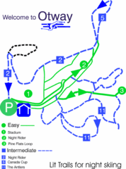
Otway Nordic Centre (Caledonia) Night lit Ski...
Trail map from Otway Nordic Centre (Caledonia), which provides night and nordic skiing. This ski...
488 miles away
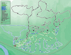
Otway Nordic Centre (Caledonia) Ski Trail Map
Trail map from Otway Nordic Centre (Caledonia), which provides night and nordic skiing. This ski...
488 miles away
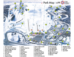
Canada Olympic Park Ski Trail Map
Trail map from Canada Olympic Park, which provides downhill skiing. This ski area has its own...
488 miles away
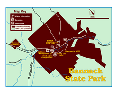
Bannack State Park Map
491 miles away
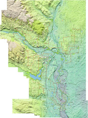
Calgary Topo Bike Map
This map shows the city of Calgary's bike routes. The topographic representation of the...
492 miles away
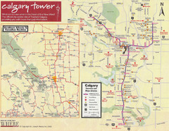
Calgary Tourist Map
Tourist map of Calgary, Canada. Shows points of interest. Scanned.
493 miles away
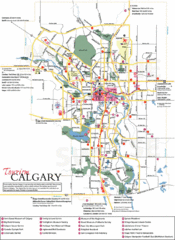
Calgary Map
493 miles away
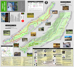
Upper and Lower Bidwell Park Bike Map
Bike map of Upper Bidwell Park and Lower Bidwell Park in Chico, California
497 miles away

Chico, California City Map
498 miles away
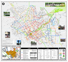
Chico Bike Map
Bicycle route map of Chico, California
498 miles away
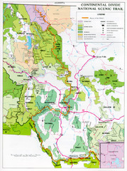
Continental Divide Scenic Trail Map
Guide to the Montana portion of the Continental Divide trail
499 miles away
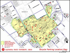
California State University, Chico Bike Parking...
Map that highlights all the available bike parking area and bike routes throughout the campus and...
500 miles away
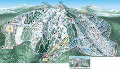
Great Divide Ski Trail Map
Official ski trail map of Great Divide ski area from the 2007-2008 season.
500 miles away
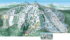
Great Divide Ski Area Ski Trail Map
Trail map from Great Divide Ski Area.
501 miles away
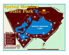
Spring Meadow Lake State Park Map
This urban, day-use-only park minutes from Helena fed by natural springs, is a popular spot for...
505 miles away
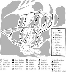
Teton Pass Ski Area Ski Trail Map
Trail map from Teton Pass Ski Area.
506 miles away
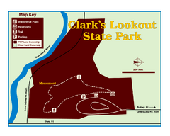
Clark's Lookatout State Park Map
Clearly marked State Park Map.
507 miles away
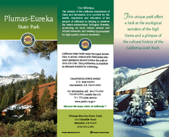
Plumas-Eureka State Park Map
Map of park with detail of trails and recreation zones
508 miles away
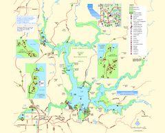
Lake Oroville State Recreation Area Map
Map of recreation area with detail of trails and recreation zones
509 miles away
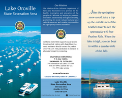
Lake Oroville State Recreation Area Map
Map of recreation area with detail of trails and recreation zones
510 miles away

