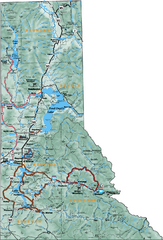
Northern Idaho Road Map
438 miles away
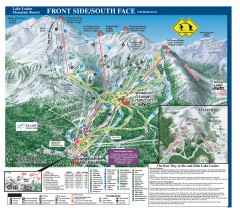
Lake Louise Ski Trail map - Front side/south face...
Official ski trail map of the front side/south face of Lake Louise ski area from the 2005-2006...
439 miles away
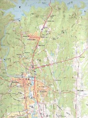
Redding, California City Map
439 miles away
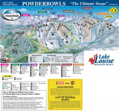
Lake Louise Ski Trail map - Ptarmigan/Paradise...
Official ski trail map of the Ptarmigan/Paradise/Back Bowls of Lake Louise ski area from the 2005...
440 miles away
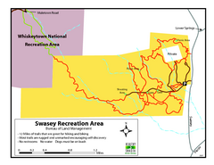
Swasey Recreation Area Map
12 Miles of trails that are great for hiking and biking. Most trails are rugged and unmarked...
440 miles away
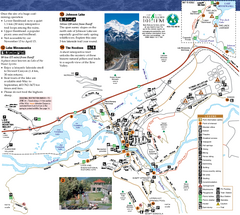
Banff National Park Map
Map of park with detail of trails and recreation zones
440 miles away
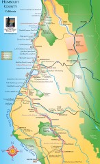
Humboldt County, California Map
Tourist map of Humboldt County, California. Shows parks, wildlife refuges, visitor centers, and...
440 miles away
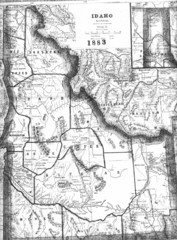
Idaho 1883 Map
442 miles away
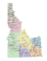
Idaho Road Map
442 miles away
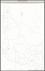
Idaho Zip Code Map
Check out this Zip code map and every other state and county zip code map zipcodeguy.com.
442 miles away
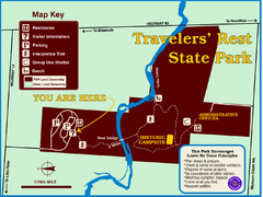
Travelers' Rest State Park Map
The Lewis and Clark expedition camped here twice during their historic journey to locate the...
443 miles away
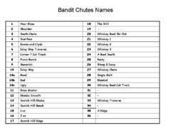
Fortress Bandit Chutes Run Names List Map
Trail map from Fortress, which provides downhill skiing.
443 miles away

Glacier National Park by carvedmaps.com Map
Wooden carved map of Glacier National Park by carvedmaps.com Anywhere in the United States maps...
443 miles away
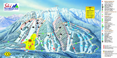
Norquay Map
Ski trail map
444 miles away
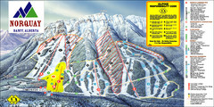
Banff Mount Norquay Ski Trail Map
Trail map from Banff Mount Norquay, which provides downhill skiing. This ski area has its own...
445 miles away
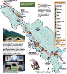
Banff National Park Map
446 miles away
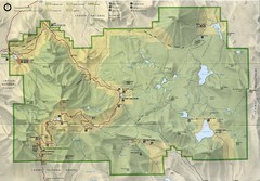
Lassen Volcanic National Park Map
448 miles away
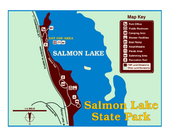
Salmon Lake State Park Map
Immediately adjacent to Montana 83, this park is an access point to one of the beautiful lakes in...
449 miles away
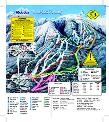
Nakiska Ski Resort Ski Trail Map
Trail map from Nakiska Ski Resort, which provides downhill skiing. This ski area has its own...
449 miles away
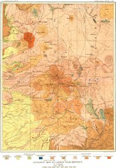
Lassen Peak District Geological Map
Geologic map of the Lassen Peak area in Lassen National Park, California. Shows sedimentary rock...
450 miles away
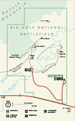
Big Hole National Battlefield Official Map
Official NPS map of Big Hole National Battlefield in Montana. Big Hole National Battlefield is...
450 miles away
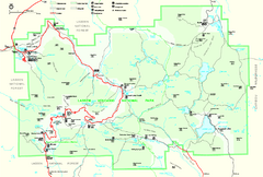
Lassen Volcanic National Park Official Park Map
Official NPS map of Lassen Volcanic National Park in California. Map shows all areas. Lassen...
451 miles away
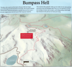
Bumpass Hell Trail Map
Trail map of route to Bumpass Hell, a major area of geo-thermal activity in Lassen National Park...
452 miles away
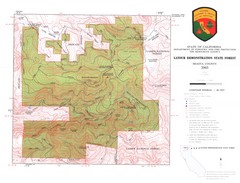
Latour State Forest Map
Countour map of the Latour Demonstration Forest.
456 miles away
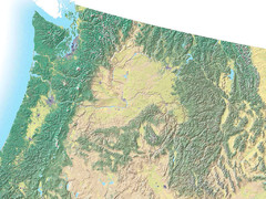
Northwest USA topo Map
457 miles away
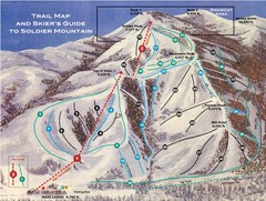
Soldier Mountain Ski Trail Map
Trail map from Soldier Mountain, which provides downhill and terrain park skiing. It has 3 lifts...
459 miles away
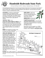
Humboldt Redwoods State Park Campground Map
Map of campground region park with detail of trails and recreation zones
459 miles away
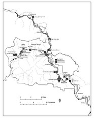
Humboldt Redwoods State Park Map
Park map of Humboldt Redwoods State Park, California. Shows Avenue of the Giants, trailheads and...
460 miles away
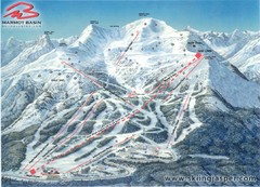
Jasper’s Marmot Basin Future Lift for Ski Trail...
Trail map from Jasper’s Marmot Basin, which provides downhill skiing. This ski area has its own...
460 miles away
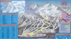
Jasper’s Marmot Basin Ski Trail Map
Trail map from Jasper’s Marmot Basin, which provides downhill skiing. This ski area has its own...
460 miles away
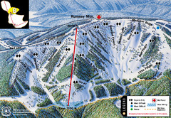
Discovery Basin Ski Area B Ski Trail Map
Trail map from Discovery Basin Ski Area.
462 miles away
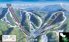
Discovery Basin Ski Area A Ski Trail Map
Trail map from Discovery Basin Ski Area.
462 miles away
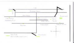
Glenns Ferry City Map
City map of Glenns Ferry, Idaho with information
462 miles away
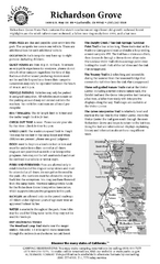
Richardson Grove State Park Campground Map
Map of campground region of park with detail of trails and recreation zones
463 miles away
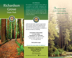
Richardson Grove State Park Map
Map of park with detail of trails and recreation zones
463 miles away

Burning Map 2005 Map
Artistic representation of Burning Man's Black Rock City.
463 miles away
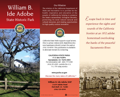
William B. Ide Adobe State Historic Park Map
Map of park with detail of trails and recreation zones
466 miles away
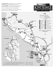
King Range National Conservation Area Trail Map
Trail map of the King Range National Conservation Area, home of the Lost Coast, California. Shows...
471 miles away
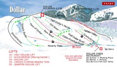
Sun Valley—Bald Mountain Ski Trail Map
Trail map from Sun Valley—Bald Mountain, which provides downhill, nordic, and terrain park skiing...
471 miles away

