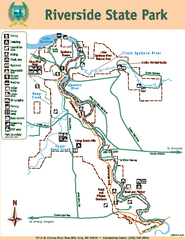
Riverside State Park Map
Map of park with detail of trails and recreation zones
259 miles away
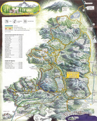
Diamond Lake Tourist Map
262 miles away
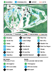
Anthony Lakes Mountain Resort Ski Trail Map
Trail map from Anthony Lakes Mountain Resort.
262 miles away
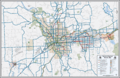
Spokane, Washington Bike Map
263 miles away
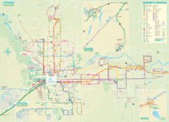
Spokane Guide Map
Roads and areas in and around Spokane, Washington
263 miles away
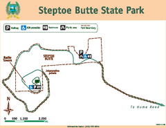
Steptoe Butt State Park Map
Map of park with detail of trails and recreation zones
265 miles away
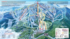
49 Degrees North Ski Trail Map
Official ski trail map of ski area from the 2007-2008 season.
267 miles away
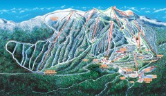
Big White Ski Trail Map
Official ski trail map of Big White ski area from the 2007-2008 season.
267 miles away
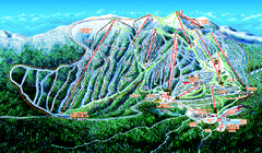
Big White Ski Resort Ski Trail Map
Trail map from Big White Ski Resort, which provides downhill, night, nordic, and terrain park...
267 miles away
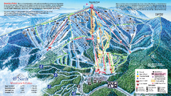
49 North Mountain Resort Ski Trail Map
Trail map from 49 North Mountain Resort, which provides downhill, night, nordic, and terrain park...
267 miles away

Pullman Parks Trail Map
Trails and pathways map
272 miles away
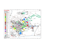
Washington State University Map
Washington State University Campus Map. All buildings shown.
272 miles away
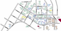
Washington State University's Greek Row Map
Map of WSU's fraternities and sororities
272 miles away
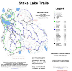
Stake Lake Nordic Ski Trail Map
Trail map from Stake Lake.
272 miles away
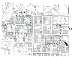
Myrtle Point walking tour Map
Walking tour map of the Historic homes of Myrtle Point in the Coquille Valley of Oregon.
273 miles away
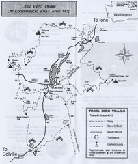
Little Pend Oreille Off Road Vehicle (ORV) Area...
Map of the Off Road Vehicle Area in Little Pend Oreille, Washington. Includes all bike trails...
274 miles away
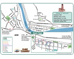
Ashcroft Map
Map of Ashcroft, includes all streets, highways, accommodations and attractions.
274 miles away
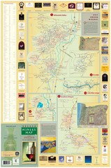
Oregon Winery Map / Local Side
275 miles away
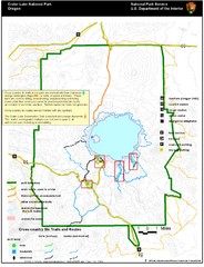
Crater Lake National Park Map
277 miles away
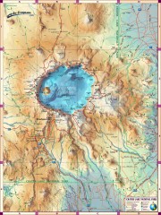
Crater Lake National Park map
Great map of Crater Lake National Park shows all trails, viewpoints, mountains, roads, campgrounds...
278 miles away
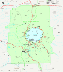
Crater Lake National Park official map
Official map of Crater Lake National Park. Shows hiking trails, elevations of peaks, roads, and...
278 miles away
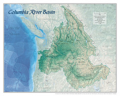
Columbia River Basin Map
278 miles away
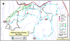
Paulson X-C (Castlegar Nordic) Ski Trail Map
Trail map from Paulson X-C (Castlegar Nordic), which provides nordic skiing. This ski area has its...
278 miles away

Red Mountain Trail Map
Ski trail map
279 miles away
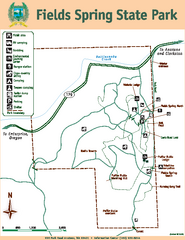
Fields Spring State Park Map
Map of park with detail of trails and recreation zones
279 miles away
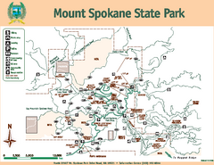
Mount Spokane State Park Map
Map of park with detail of trails and recreation zones
280 miles away

Red Mountain Ski Trail Map
Trail map from Red Mountain.
280 miles away
Mount Spokane Trail Map
Contour map of Mount Spokane
280 miles away

2006–08 Black Jack Nordic Map
Trail map from Black Jack.
281 miles away
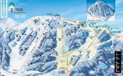
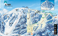
Mt. Spokane Ski Trail Map
Official ski trail map of Mount Spokane ski area from the 2006-2007 season.
281 miles away
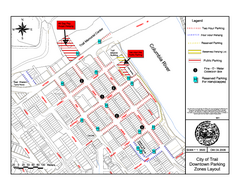
City of Trail Downtown Parking Map
Parking map of downtown Trail, British Columbia
284 miles away

City of Trail BC Map
Map of city of Trail, BC on the Columbia River
285 miles away
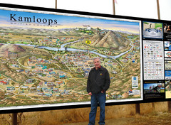
Kamloops tourist info map by Jean-Louis Rheault
Tourist map of Kamloops, British Columbia. Photo of 20 foot sign with the cartographer, Jean-Louis...
285 miles away
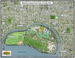
MacArthur Island Park Map
Park map of MacArthur Island Park in the Thompson River in Kamloops, BC. Shows Rivers Trail...
286 miles away
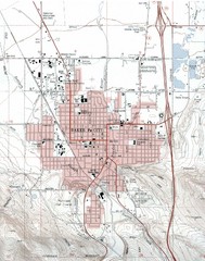
Baker City, Oregeon Tourist Map
286 miles away
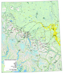
Chilcotin Mountains Trail System Map
Trail system map of the Chilcotin Mountains in BC, Canada "On the trail system map '...
289 miles away
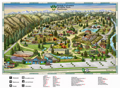
British Columbia Wildlife Park Visitor Map
Wildlife Visitor Park Map. Full color with illustrations.
289 miles away

