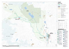
Callaghan Country Nordic Ski Trail Map
Trail map from Callaghan Country, which provides nordic skiing. This ski area opened in 1998, and...
223 miles away
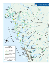
Flores Island Provincial Park Area Map
Park map of area around Flores Island Provincial Park, BC in the Clayoquot Sound. Flores Island is...
224 miles away
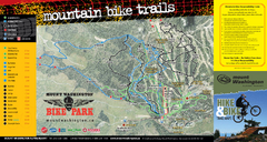
Mt. Washington Resort Summer Mountain Biking Ski...
Trail map from Mt. Washington Resort, which provides downhill and nordic skiing.
224 miles away
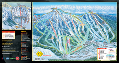
Mt. Washington Resort Ski Trail Map
Trail map from Mt. Washington Resort, which provides downhill and nordic skiing.
224 miles away
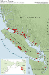
BC Salmon Farms Map
Shows fishfarms in BC around Vancouver Island, highest concentration of fish farms in North Pacific
225 miles away
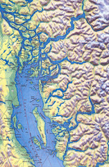
Northern Gulf Map
Map of Northern Gulf Islands
225 miles away
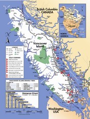
Vancouver Island Road Map
226 miles away
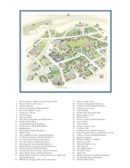
Whitman College Campus Map
Campus map of Whitman College in Walla Walla, WA
226 miles away
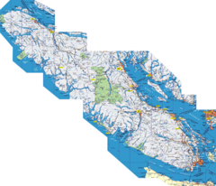
Vancouver Island Map
Detailed map of Vancouver Island, British Columbia. Shows towns, roads, and parks.
230 miles away
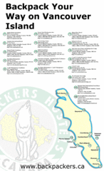
Vancouver Island Backpacking Map
Shows hostels on Vancouver Island, BC
230 miles away
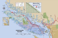
Vancouver Island Map
230 miles away
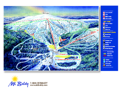
Mt. Baldy Family Ski Area Ski Trail Map
Trail map from Mt. Baldy Family Ski Area.
230 miles away
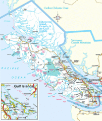
Vancouver Island Park Map
Parks and roads on Vancouver Island.
234 miles away
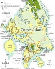
Cortes Island tourist map
Tourist map of Cortes Island in British Columbia, Canada. Shows businesses and roads.
238 miles away
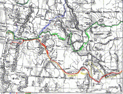
Oregon Trail Map
Old sketch map with modern cities, forts/ trading posts, and missions/churches superimposed. Shows...
238 miles away

Kettle Valley Trails Map
Map of Kettle Valley Trails. Includes all trails, streets, and attractions.
238 miles away
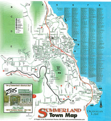
Summerland Town Map
Map of Summerland with details on outdoor-recreation locations and streets
239 miles away
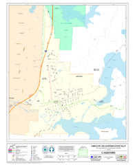
Lakeside Oregon Road Map
239 miles away
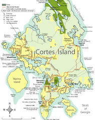
Cortes Island Tourist Map
Places of interest.
241 miles away
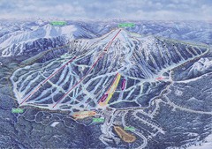
Apex Mountain Ski Resort Map
Apex Mountain Trail Map, Lifts and Elevations
241 miles away
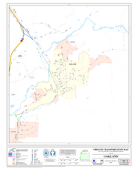
Oakland Oregon Road Map
242 miles away
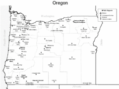
Oregon Airport Map
244 miles away
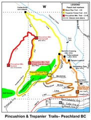
Peachland Walks Map
Guide to Pincushion and Trepanier Trails in Peachland, BC
247 miles away
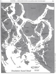
Desolation Sound Detail Map
Shows general geography of Desolation Sound from Malaspina Inlet to Bute Inlet. Shows Cortes Bay...
247 miles away
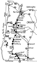
Oregon Walks Map
Walks in Portland, Oregon City, Corvallis, Salem, Lebanon, Albany, Eugene, Springfield, Junction...
248 miles away
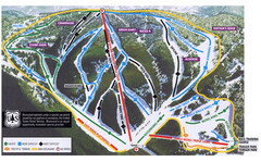
Bluewood Ski Trail Map
248 miles away
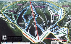
Bluewood Ski Trail Map
Trail map from Bluewood, which provides downhill, nordic, and terrain park skiing. It has 3 lifts...
248 miles away
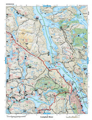
Campbell River Area Map
Vancouver Island, Victoria & Gulf Islands
249 miles away
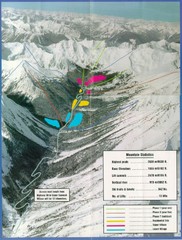
Cayoosh Resort (Melvin Creek) Ski Trail Map
Trail map from Cayoosh Resort (Melvin Creek), which provides downhill skiing.
250 miles away
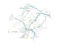
Pemberton Valley Area Parks Map
Area parks map of Pemberton Valley area in BC. Shows peaks and lakes.
250 miles away

Phoenix Mountain Ski Trail Map
Trail map from Phoenix Mountain.
251 miles away
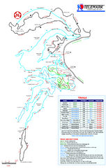
Telemark Cross Country Ski Trail Map
Trail map from Telemark Cross Country, which provides nordic skiing. This ski area has its own...
251 miles away
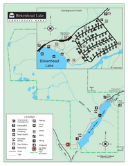
Birkenhead Lake Provincial Park Map
Park map of Birkenhead Lake Provincial Park, BC. Inset of campground
252 miles away
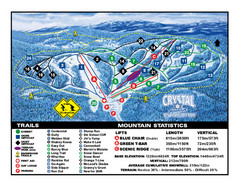
Crystal Mountain Resort Ski Trail Map
Trail map from Crystal Mountain Resort, which provides downhill skiing. This ski area has its own...
253 miles away
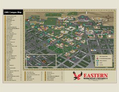
Eastern Washington University Campus Map
Campus map of Eastern Washington University in Cheney, Washington
253 miles away
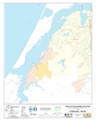
West Coos Bay Oregon Road Map
254 miles away
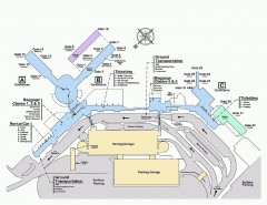
Spokane International Airport Terminal Map
Official Map of Spokane International Airport in Washington state. Shows all terminals.
257 miles away
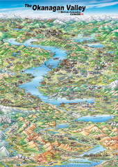
Pictorial map of the Okanagan Valley
258 miles away
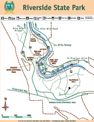
Riverside State Park Map
Map of park with detail of trails and recreation zones
259 miles away

