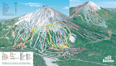
Mt. Bachelor Ski Trail map
Official ski trail map of Mount Bachelor ski area from the 2006-2007 season.
211 miles away
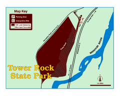
Tower Rock State Park Map
Tower Rock State Park is one of Montana's newest state parks. The 400-foot high igneous rock...
211 miles away
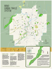
Bend urban trails system Map
The Bend Urban Trail System currently includes approximately 48 developed miles of trails which...
212 miles away
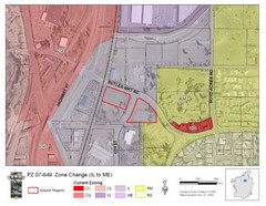
Bend, Oregon Zoning Map
Map of the zoning area changes in Bend, Oregon. Includes color-coded zoning areas.
213 miles away
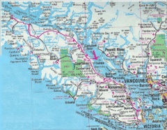
Vancouver Island Road Map
214 miles away
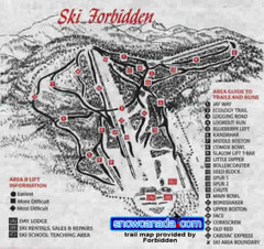
Pre-1999 Forbidden Plateau Map #2
Trail map from Forbidden Plateau.
216 miles away
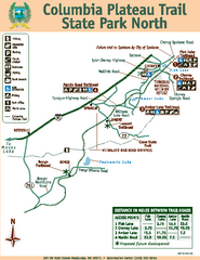
Columbia Plateau Trail State Park North Map
Map of park with detail of trails and recreation zones
218 miles away
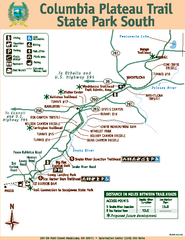
Columbia Plateau Trail State Park South Map
Map of park with detail of trails and recreation zones
218 miles away
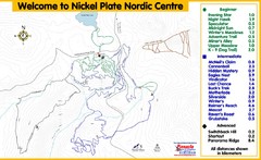
Nickel Plate Nordic Centre Ski Trail Map
Trail map from Nickel Plate Nordic Centre.
218 miles away
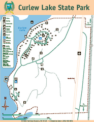
Curlew Lake State Park Map
Map of park with detail of trails and recreation zones
218 miles away
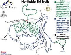
Nickel Plate Nordic Centre North Ski Trail Map
Trail map from Nickel Plate Nordic Centre.
218 miles away
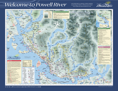
Upper Sunshine Coast Recreation Map
Recreation map of Upper Sunshine Coast in BC. Shows hiking trails, kayaking and canoeing routes...
219 miles away
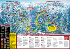
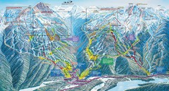
Whistler Blackcomb Trail map 2010-2011
Official ski trail map Whistler Blackcomb for the 2010-2011 season.
219 miles away
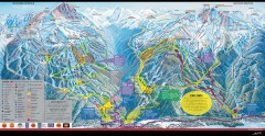
Whistler Blackcomb Ski Trail map 2005-06
Official ski trail map of the Whistler Blackcomb ski area from the 2005-2006 season. Site of the...
219 miles away
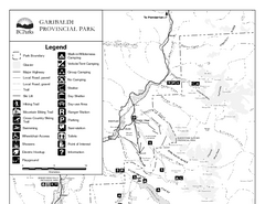
Garibaldi Provincial Park Map
Park map of Garibaldi Provincial Park, BC. 2 pages.
220 miles away
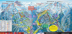
Whistler Blackcomb Ski Trail Map 2007-2008
Official ski trail map of the Whistler Blackcomb ski area from the 2007-2008 season. Site of Alpine...
220 miles away

Creekside Map
Tourist map of Creekside Village
220 miles away
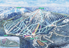
Apex Mountain Ski Trail Map
Official ski trail map of Apex Mountain ski area
220 miles away
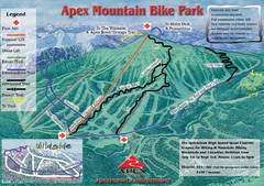
Apex Mountain Resort Biking Ski Trail Map
Trail map from Apex Mountain Resort, which provides downhill and terrain park skiing. It has 5...
220 miles away
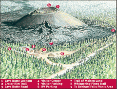
Newberry National Volcanic Monument - Lava Lands...
Map of Lava Butte which rises 500 feet above the visitor center. This cinder cone erupted 7,000...
221 miles away
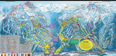
Whistler Blackcomb Ski Resort Map
Ski runs, lifts and amenities on the resort map
221 miles away
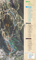
Whistler Blackcomb (Garibaldi Lift Co.) Biking...
Trail map from Whistler Blackcomb (Garibaldi Lift Co.), which provides downhill, night, and terrain...
221 miles away
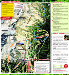
Whistler Blackcomb (Garibaldi Lift Co.) Hiking...
Trail map from Whistler Blackcomb (Garibaldi Lift Co.), which provides downhill, night, and terrain...
221 miles away
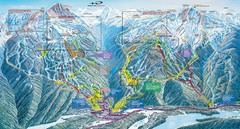
Whistler Blackcomb Trail Map
221 miles away
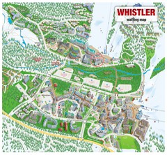
Whistler Village Map
221 miles away
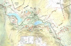
Whistler, CA Hiking and Biking Trails Map
221 miles away
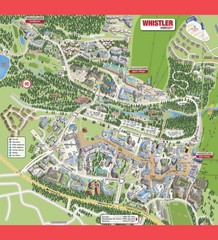
Whistler Village Map
221 miles away
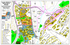
Whistler Village Map
222 miles away
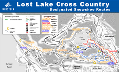
Whistler Cross Country Connection Snowshoeing Ski...
Trail map from Whistler Cross Country Connection.
222 miles away
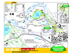
Whistler Cross Country Connection 2006–07...
Trail map from Whistler Cross Country Connection.
222 miles away
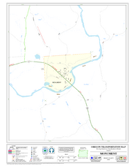
Monument Oregon Road Map
222 miles away
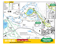
Lost Lake, Whistler Hiking and Biking Trail Map
222 miles away
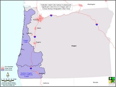
Oregon Coho Salmon Map
Shows federally listed coho salmon evolutionarily significant units in Washington state.
222 miles away
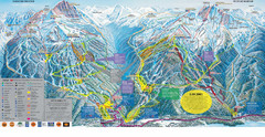
Trail Map Whistler Blackcomb
Map of all trails and ski runs at Whistler and Blackcomb mountains. Includes detailed information...
222 miles away
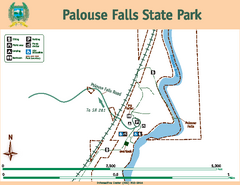
Palouse Falls State Park Map
Map of park with detail of trails and recreation zones
223 miles away
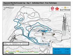
Whistler Olympic Park (Callaghan Nordic Centre...
Trail map from Whistler Olympic Park (Callaghan Nordic Centre), which provides night and nordic...
223 miles away
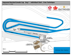
Whistler Olympic Park (Callaghan Nordic Centre...
Trail map from Whistler Olympic Park (Callaghan Nordic Centre), which provides night and nordic...
223 miles away

