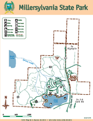
Millersylvania State Park Map
Map of park with detail of trails and recreation zones
0 miles away
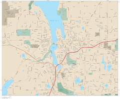
Olympia, Washington City Map
9 miles away

Olympia Map
Map of downtown Olympia's parking and shuttle routes.
9 miles away
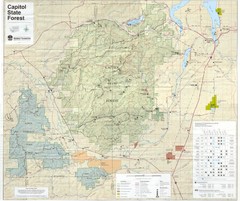
Capitol State Forest Map
12 miles away
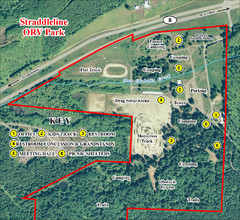
Grays Harbor County Straddleline ORV Park...
Park Map near Olympia
13 miles away
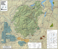
Capitol State Forest Map
Shows all trails in Capitol State Forest and surrounding area, including Lower Chehalis State...
13 miles away
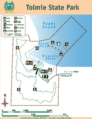
Tolmie State Park Map
Map of park with detail of trails and recreation zones
16 miles away
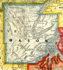
Mason County Washington, 1909 Map
16 miles away
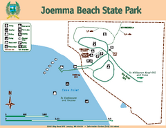
Joemma Beach State Park Map
Map of park with detail of trails and recreation zones
22 miles away
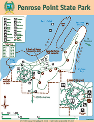
Penrose Point State Park Map
Map of park with detail of trails and recreation zones
25 miles away
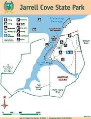
Jarrell Cove State Park Map
Map of park with detail of trails and recreation zones
26 miles away
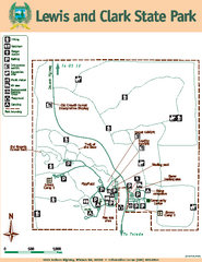
Lewis and Clark State Park Map
Map of park with detail of recreation zones and trails
27 miles away
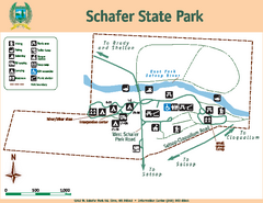
Schafer State Park Map
Map of park with detail of trails and recreation zones
29 miles away
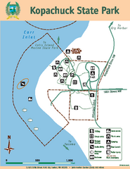
Kopachuck State Park Map
Map of island with detail of trails and recreation zones
29 miles away
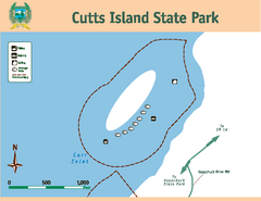
Cutts Island Stay Park Map
Map of park with detail of trails and recreation zones
30 miles away
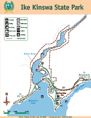
Ike Kinswa State Park Map
Map of park with detail of trails and recreation zones
30 miles away
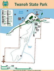
Twanoh State Park Map
Map of park with detail of trails and recreation zones
32 miles away
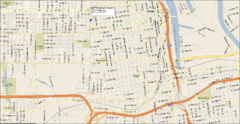
Tacoma, Washington City Map
32 miles away
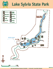
Lake Sylvia State Park Map
Map of island with detail of trails and recreation zones
33 miles away
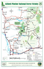
Gifford Pinchot National Forest Vicinity Map
Gifford Pinchot National Forest and surrounding areas including Mt. St Helens.
33 miles away

Pierce County Washington Map, 1909 Map
33 miles away
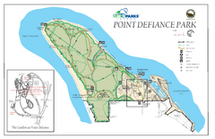
Point Defiance Park Map
33 miles away
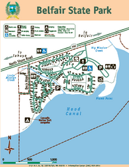
Belfair State Park Map
Map of park, with detail of trails and recreation zones
36 miles away
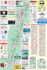
Milton tourist map
Tourist map of Milton, Washington. Shows all businesses.
36 miles away
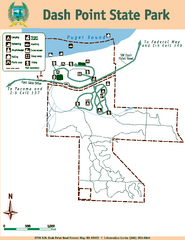
Dash Point State Park Map
Map of park with detail of trails and recreation zones
37 miles away
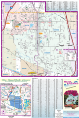
Milton and Edgewood tourist map
Tourist map of Milton and Edgewood, Washington. Shows all businesses.
37 miles away
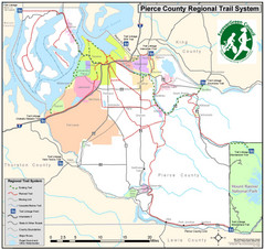
Pierce County Regional Trail Map
County-wide system of trails
38 miles away
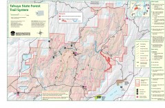
Tahuya State Forest Trail Map
Shows trails of Tahuya State Forest. Show roads, doubletrack, singletrack, and 4WD only.
39 miles away
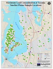
Tacoma Lead Concentration Map
A map of maximum lead concentrations near Tacoma.
40 miles away
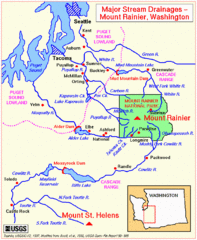
Mount Rainier Major Stream Drainages Map
42 miles away
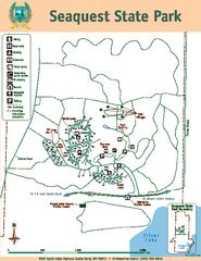
Seaquest State Park Map
Map of park with detail of trails and recreation zones
43 miles away

Tourist map of Downtown Des Moines, Washington
Tourist map of Downtown Des Moines, Washington. Shows all businesses.
44 miles away

Des Moines Washington tourist map
Tourist map of Des Moines, Washington, including Kent and SeaTac airport.
44 miles away
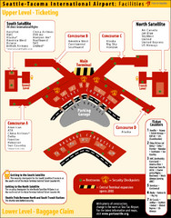
SeaTac Airport Map
47 miles away
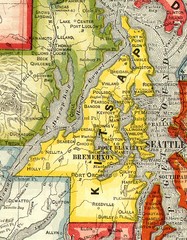
Kitsap County Washington, 1909 Map
47 miles away
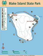
Blake Island State Park Map
Map of park with detail of trails and recreation zones
47 miles away
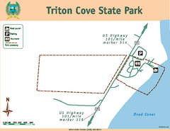
Triton Cove State Park Map
Map of park with detail of trails and recreation zones
48 miles away
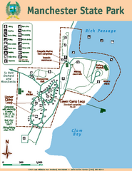
Manchester State Park Map
Map of park with detail of trails and recreation zones
49 miles away
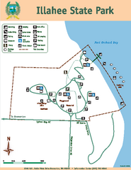
Illahee State Park Map
Map of park with detail of trails and recreation zones
50 miles away
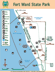
Fort Ward State Park Map
Map of park with detail of trails and recreation zones
50 miles away

