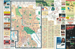
Redmond Area tourist map
Tourist map of the Redmond Area on Washington. Shows all businesses.
26 miles away
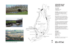
Spencer Island Park map
26 miles away
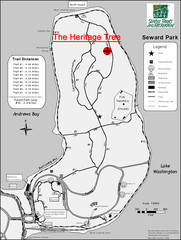
Seward Park Trails Map
Map of the trails in Seward Park, a 300-acre park on a peninsula in the south Seattle, WA area.
26 miles away
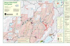
Tahuya State Forest Trail Map
Shows trails of Tahuya State Forest. Show roads, doubletrack, singletrack, and 4WD only.
26 miles away
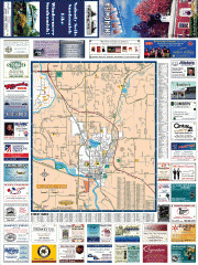
Snohomish tourst map
Tourist map of Snohomish, Washington. Shows all businesses.
27 miles away
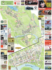
Snohomish tourist map
Snohomish, Washington tourist map. Shows all businesses.
27 miles away
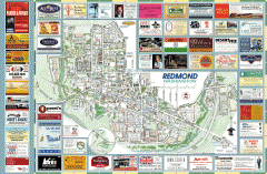
Redmond tourist map
Tourist map of Redmond, Washington. Shows all businesses.
27 miles away
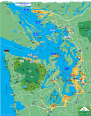
Seattle Ferry Guide Map
Map of ferries around Seattle, Puget Sound and Olympic Peninsula
27 miles away

Shadowrun Redmond Map
27 miles away
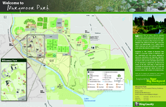
Marymoor Park Map
27 miles away
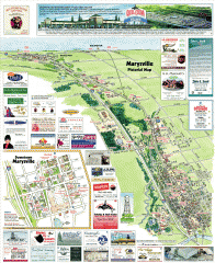
Marysville tourist map
Tourist map of Marysville, Washington. Shows all businesses.
28 miles away
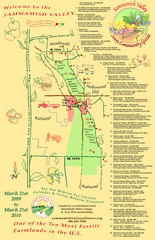
Sammamish Valley Guide Map
28 miles away
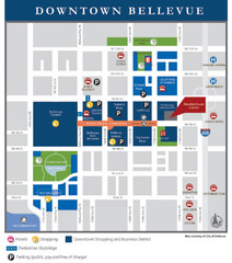
Downtown Bellevue Map
Driving Directions and Downtown Map
28 miles away
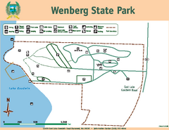
Wenberg State Park Map
Map of park with detail of trails and recreation zones
28 miles away

Coupeville tourist map
Tourist map of Coupeville, Washington. Shows all businesses.
28 miles away
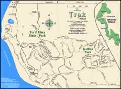
Ft Ebey/Kettle Park Trail Map
Trail map of Fort Ebey Park and Kettle Park, Washington
28 miles away
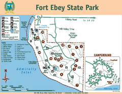
Fort Ebey State Park Map
Map of park with detail of trails and recreation zones
29 miles away
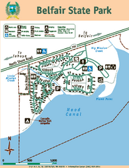
Belfair State Park Map
Map of park, with detail of trails and recreation zones
29 miles away
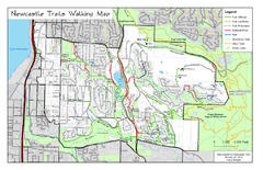
Newcastle Trails Trail Map
Trail map of existing and proposed trails in Newcastle, WA
30 miles away
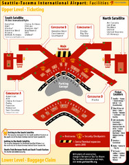
SeaTac Airport Map
30 miles away

Centennial Trail Map
Centennial Trail has 23 miles completed (Snohomish to Bryant) with more in progress.
31 miles away
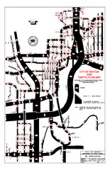
Renton WA Traffic Flow Map
City of Renton, WA traffic flow map
31 miles away

Centennial Trail Map
31 miles away
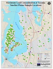
Tacoma Lead Concentration Map
A map of maximum lead concentrations near Tacoma.
32 miles away
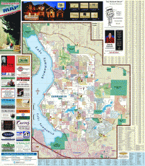
Sammamish tourist map
Tourist map of Sammamish, Washington. Shows all businesses.
32 miles away

Tourist map of Downtown Des Moines, Washington
Tourist map of Downtown Des Moines, Washington. Shows all businesses.
32 miles away

Des Moines Washington tourist map
Tourist map of Des Moines, Washington, including Kent and SeaTac airport.
32 miles away
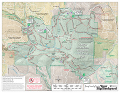
Cougar Mountain Park Trail Map
Trail map of Cougar Mountain Regional Wildland Park, part of the "Issaquah Alps"
32 miles away
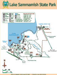
Lake Sammamish State Park Map
Map of island with detail of trails and recreation zones
33 miles away

Oak Harbor tourist map
Tourist map of Oak Harbor, Washington. Shows all businesses.
33 miles away
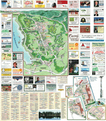
Sammamish tourist map
Sammamish, Washington tourist map. Shows all businesses.
33 miles away

Arlington and Smokey Point tourist map
Tourist map of Arlington and Smokey Point, Washington. Shows all businesses.
34 miles away
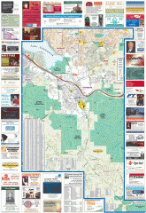
Issaquah tourist map
Issaquah, Washington tourist map. Shows all businesses.
34 miles away
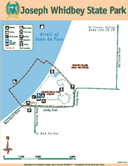
Joseph Whidbey State Park Map
Map of park with detail of trails and recreation zones
34 miles away
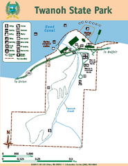
Twanoh State Park Map
Map of park with detail of trails and recreation zones
34 miles away
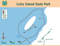
Cutts Island Stay Park Map
Map of park with detail of trails and recreation zones
34 miles away
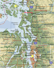
Washington State - West Coast Map
Washington State - West Coast Map
34 miles away
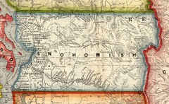
Snohomish County Washington, 1909 Map
34 miles away
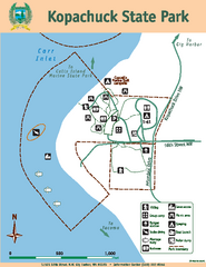
Kopachuck State Park Map
Map of island with detail of trails and recreation zones
35 miles away
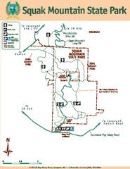
Squak Mountain State Park Map
Map of park with detail of trails and recreation zones
35 miles away

