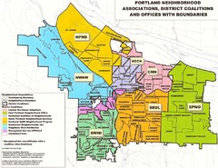
Portland Neighborhood Map
Shows neighborhood associations of Portland, Oregon.
129 miles away
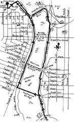
Portland Oregon downtown walk Map
Walk from the Amtrak Station to the Oregon Museum of Science and Industry. 4 miles round trip...
130 miles away
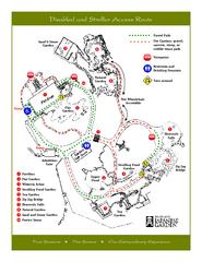
Portland Japanese Garden Map
So Far My favorite Japanese Garden
130 miles away
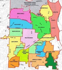
Portland, Oregon Neighborhood Map
130 miles away
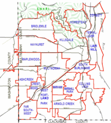
Portland, Oregon Neighborhood Map
130 miles away
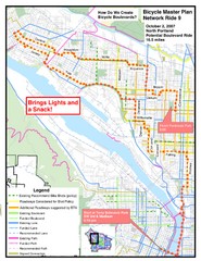
Portland, Oregon Bike Map
130 miles away
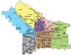
Portland, Oregon Neighborhood Map
130 miles away
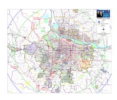
Portland, Oregon Tourist Map
130 miles away
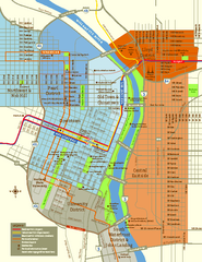
Central Portland, Oregon Map
Tourist map of Portland, Oregon. Shows museums, sports arenas, parks, and public transportation.
130 miles away
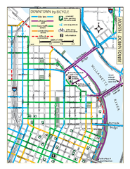
North Downtown Portland Bike Parking Map
Biking map of northern downtown Portland, Oregon. Shows bike paths, parking, and stores.
130 miles away
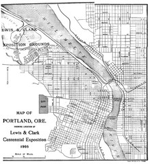
Portland, Oregon Map
Map of Portland, Oregon during centennial exposition of the Lewis & Clark Exploration...
130 miles away
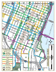
South Downtown Portland Bike Map
Biking map of southern downtown Portland, Oregon. Shows bike paths, bike parking, and bike shops.
130 miles away
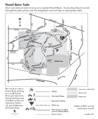
Powell Butte Nature Park Trail Map
Trail map of Powell Butte Nature Park. Shows over 9 miles of trails
130 miles away
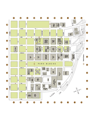
Portland State University Map
Campus Map of Portland State University. All buildings shown.
130 miles away
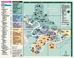
Oregon Zoo Map 2009
131 miles away
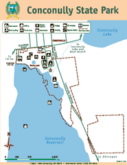
Conconully State Park Map
Map of park with detail of trails and recreation zones
131 miles away

Happy Valley Oregon Road Map
133 miles away

Lake Oswego Oregon Road Map
136 miles away

Tigard Oregon Road Map
137 miles away
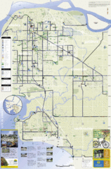
Bicycle Friendly Route Map
137 miles away
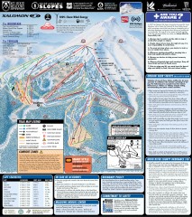
Mt. Hood Meadows Ski Trail Map
Official ski trail map of Mt. Hood Meadows ski area from the 2007-2008 season.
138 miles away

Timberline Ski Area Ski Trail Map
Trail map from Timberline Ski Area.
138 miles away
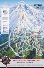
Timberline Ski Trail Map
Official ski trail map of Timberline Lodge ski area from the 2007-2008 season.
138 miles away
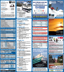
Mt. Hood Meadows Ski Resort Ski Trail Map
Trail map from Mt. Hood Meadows Ski Resort.
138 miles away
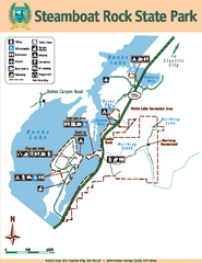
Steamboat Rock State Park Map
Map of park with detail of trails and recreation zones
139 miles away

King City Oregon Road Map
139 miles away
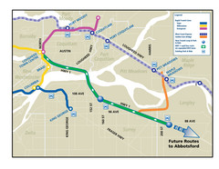
Highway 1 Rapid Bus Service Map
140 miles away
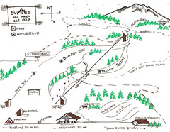
Summit Ski Area Ski Trail Map
Trail map from Summit Ski Area.
140 miles away

Mt. Hood SkiBowl Ski Trail Map
Trail map from Mt. Hood SkiBowl.
140 miles away
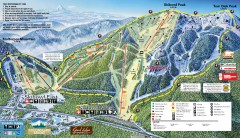
Mt. Hood Skibowl Ski Trail Map
Official ski trail map of ski area from the 2007-2008 season.
140 miles away
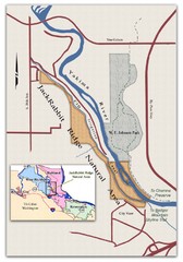
JackRabbit Ridge Natural Area Map
Shows urban wildlands
141 miles away
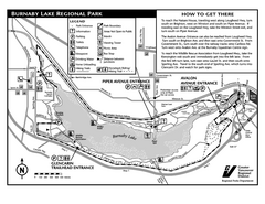
Burnaby Lake Park Trail Map
Trail map of Burnaby Lake Park in Vancouver, BC
142 miles away
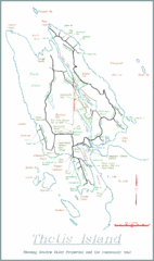
Thetis Island Map
Thetis Island map showing roads, properties, and the community trail.
142 miles away
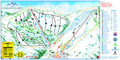
Hemlock Resort Ski Trail Map
Trail map from Hemlock Resort, which provides downhill and terrain park skiing. It has 4 lifts...
143 miles away
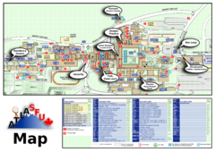
Simon Fraser University Campus Map
Simon Fraser University Campus Map includes the location of all buildings, bus stops, emergency...
143 miles away
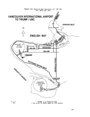
Vancouver Locational Map
Visitor Information Map includes directions from the Vancouver International Airport to the...
145 miles away
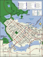
Vancouver Tourist Map
Tourist map of downtown Vancouver
145 miles away
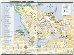
Vancouver Map
145 miles away


