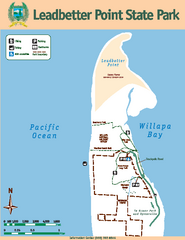
Leadbetter Point State Park Map
Map of park with detail of recreation zones and trails
113 miles away

rthsaanich.ca District Map
113 miles away
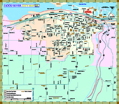
Hood River Map
Tourist map of city of Hood River, Oregon.
114 miles away
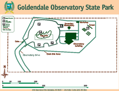
Goldendale State Park Map
Map of park with detail of trails and recreation zones
115 miles away

The Town of Sidney - Parks Map
115 miles away
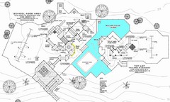
Lynden City Park Map
116 miles away
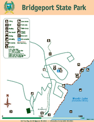
Bridgeport State Park Map
Map of park with detail of trails and recreation zones
116 miles away
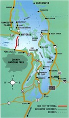
British Columbia, Canada Tourist Map
116 miles away
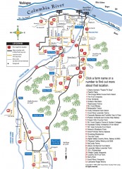
Hood River County Fruit Loop map
35-mile scenic drive through the valley's orchards, forests, farmlands, and friendly...
116 miles away
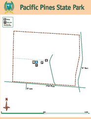
Pacific Pines State Park Map
Map of park with detail of trails and recreation zones
116 miles away
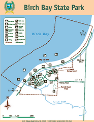
Birch Bay State Park Map
Map of park with detail of trails and recreation zones
116 miles away
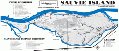
Sauvie Island tourist map
Tourist map of Sauvie Island in Oregon. Shows all businesses and points of interest.
118 miles away
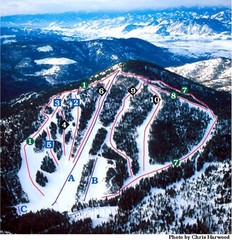
Loup Loup Ski Bowl Ski Trail Map
Trail map from Loup Loup Ski Bowl, which provides downhill, night, and nordic skiing. It has 2...
119 miles away
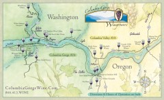
Columbia Gorge Wine Map
Wineries of the Columbia River Gorge area, Oregon.
119 miles away
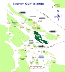
Southern Gulf Islands Map
Map of the region. Shows ferry routes.
120 miles away
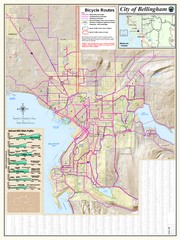
Bellingham, Washington City Map
120 miles away
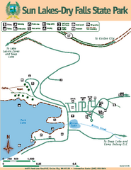
Sun Lakes-Dry Falls State Park Map
Map of park with detail of trails and recreation zones
120 miles away
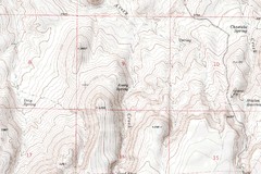
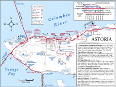
Astoria Oregon Map
A detailed topographic map of Astoria, Oregon and the Columbia River.
120 miles away
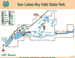
Sun Lakes-Dry Falls State Park Map
Map of park with detail of trails and recreation zones
120 miles away
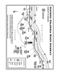
Historic Columbia River Highway Map
Official map from the US Forest Service. Shows the Corbett to Dodson stretch of Highway 30 with...
121 miles away
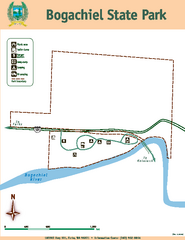
Bogachiel State Park Map
Map of park with detail of trails and recreation zones
121 miles away
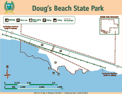
Dougs Beach State Park Map
Map of park with detail of trails and recreation zones
121 miles away
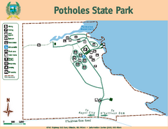
Potholes State Park Map
Map of park with detail of trails and recreation zones
122 miles away
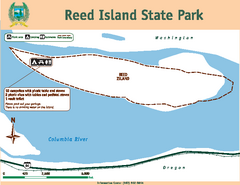
Reed Island State Park Map
Map of park with detail of trails and recreation zones
124 miles away
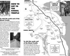
Kinsol Trestle Map
Map of the Kinsol Trestle
124 miles away

BANKS-VERNONIA STATE TRAIL Map
124 miles away
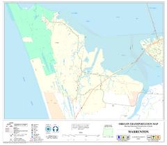
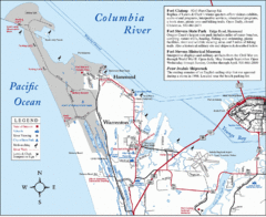
Warrenton Oregon Road Map
125 miles away
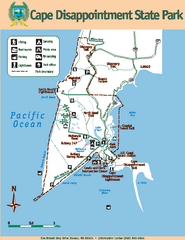
Cape Dissapointment State Park Map
Map of park with detail of trails and recreation zones
125 miles away
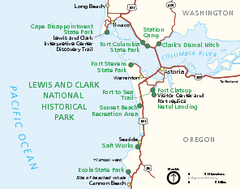
Lewis & Clark National Historic Trail...
Official NPS map of Lewis & Clark National Historic Trail in Oregon-Washington. Shows all areas...
125 miles away
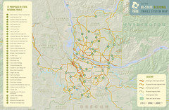
Bi-State Regional Trail System Plan Map
Shows plan for developing 37 Bi-State Regional Trails
126 miles away

Maywood Park Oregon Road Map
126 miles away
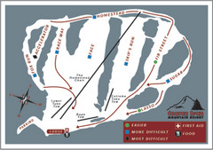
Cooper Spur Ski Area Ski Trail Map
Trail map from Cooper Spur Ski Area.
127 miles away
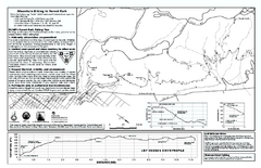
Forest Park Mountain Biking Map
Forest Park now includes over 5,100 wooded acres making it the largest, forested natural area...
128 miles away
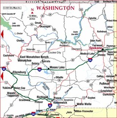
Eastern Washington Road Map
129 miles away
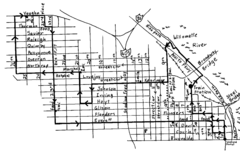
Pearl District Walking Map, Portland Oregon Map
Walk through the Pearl District, along the Willamette River and up to 23rd Street. Detour to the...
129 miles away
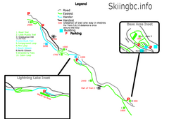
Manning Park Resort 2004–07 Manning Park...
Trail map from Manning Park Resort, which provides downhill and nordic skiing. It has 4 lifts...
129 miles away
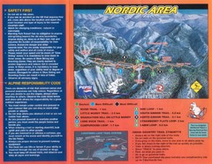
Manning Park Resort 2004–07 Manning Park Cross...
Trail map from Manning Park Resort, which provides downhill and nordic skiing. It has 4 lifts...
129 miles away
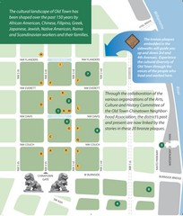
Old Town-China Town Map
Portland's oldest neighborhoods and history are easily seen in Old Town-China Town.
129 miles away

