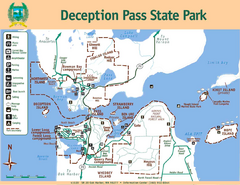
Deception Pass State Park Map
Map of park with detail of trails and recreation zones
82 miles away
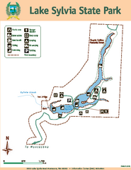
Lake Sylvia State Park Map
Map of island with detail of trails and recreation zones
82 miles away

Yakima, Washington City Map
83 miles away
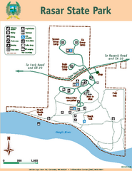
Rasar State Park Map
Map of park with detail of trails and recreation zones
83 miles away
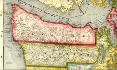
Clallam and Jefferson Counties Washington, 1909...
83 miles away
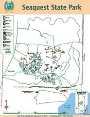
Seaquest State Park Map
Map of park with detail of trails and recreation zones
83 miles away
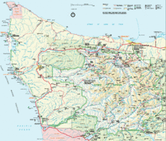
Olympic National Park Map
84 miles away
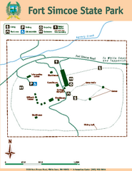
Fort Simcoe State Park Map
Map of park with detail of trails and recreation zones
84 miles away
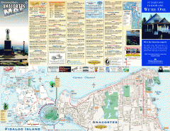
Fidalgo Island tourist map
Tourist map of Fidalgo Island in Anacortes, Washington. Shows recreation and points of interest.
84 miles away
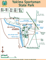
Yakima Sportsman State Park Map
Map of park with detail of trails and recreation zones
85 miles away
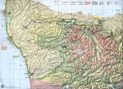
Olympic National Park Map
86 miles away
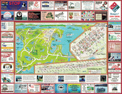
Anacortes tourist map
Tourist map of Anacortes, Washington. Shows recreation and points of interest.
86 miles away
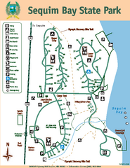
Sequim Bay State Park Map
Map of park with detail of trails and recreation zones
87 miles away
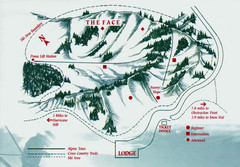
Hurricane Ridge Ski Trail Map
Trail map from Hurricane Ridge.
87 miles away

Skagit County Washington, 1909 Map
87 miles away
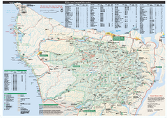
Olympic National Park wilderness campsite map
Official wilderness campsite map of Olympic National Park. Shows roads, trails, visitor...
88 miles away
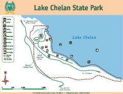
Lake Chelan State Park Map
Map of island with detail of trails and recreation zones
88 miles away
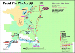
Pedal the Pinchot Bike Ride Route Map
Route Map for the Pedal the Pinchot 99 bike ride - annotated on a Park trail map.
90 miles away
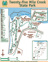
Twenty-Five Mile Creek State Park Map
Map of park with detail of trails and recreation zones
91 miles away
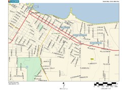
Port Angeles City Map
91 miles away
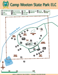
Camp Wooten State Park Map
Map of park with detail of trails and recreation zones
92 miles away
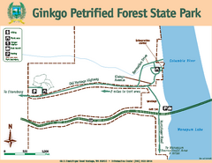
Ginkgo Petrified Forest State Park Map
Map of park with detail of trails and recreation zones
93 miles away
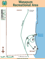
Wanapum Recreational Area Map
Map of park with detail of trails and recreation zones
95 miles away
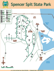
Spencer Spit State Park Map
Map of park with detail of trails and recreation zones
95 miles away
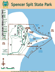
Spencer Spit State Park Map
Map of park with detail of trails and recreation zones
95 miles away
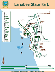
Larrabee State Park Map
Map of island with detail of trails and recreation zones
96 miles away
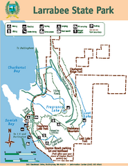
Larrabee State Park Map
Map of island with detail of trails and recreation zones
96 miles away
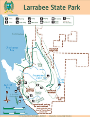
Larrabee State Park Map
Park map of Larrabee State Park, Washington.
96 miles away
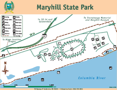
Maryhill State Park Map
Map of park with detail of trails and recreation zones
96 miles away
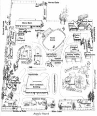
San Juan County Fair Map 2008
Fairgrounds map for the San Juan County Fair, Friday Harbor, Washington
98 miles away
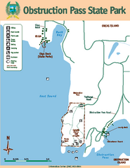
Obstruction Pass State Park Map
Map of park with detail of trails and recreation zones
98 miles away
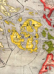
San Juan County Washington, 1909 Map
99 miles away
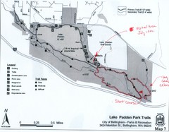
Lake Padden Park Trails Map
Course Elevation Map noted in handwriting on map. Festival location noted as well.
99 miles away

San Juan Island tourist map
San Juan Island and Friday Harbor tourist map. Shows all businesses.
99 miles away
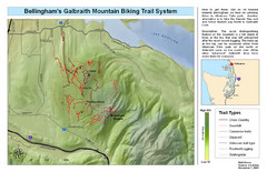
Bellingham Galbraith Mountain Biking Trail Map
Mountain biking trail map of Whatcom Falls Park near Bellingham, WA
100 miles away

Orcas tourist map
Tourist map of Orcas, Washington. Shows all businesses.
101 miles away
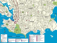
Downtown Victoria Map
101 miles away
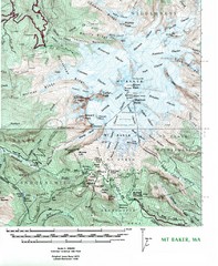
Mt. Baker Topo Map
Topo map of Mt. Baker, Washington, elevation 10,778ft.
101 miles away
BEACON HILL PARK MAP
101 miles away
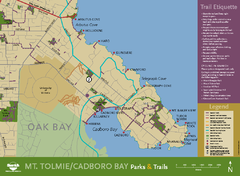
Mt. Tolmie & Cadboro Bay Map
Section of larger map, showing Seaside Touring Route and other regional and local cycling routes...
102 miles away

