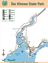
Ike Kinswa State Park Map
Map of park with detail of trails and recreation zones
60 miles away

Whidbey Island tourist map
Tourist map of Whidbey Island and Coupeville, Washington. Shows all businesses.
60 miles away
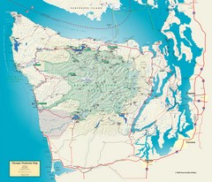
Olympic National Park and Peninsula Map
Guide to the Olympic National Park and surrounding region
61 miles away
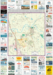
Arlington tourist map
Tourist map of Arlington, Washington. Shows all businesses.
61 miles away

Arlington and Smokey Point tourist map
Tourist map of Arlington and Smokey Point, Washington. Shows all businesses.
62 miles away
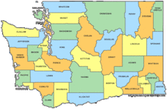
Washington State Counties Map
62 miles away
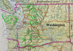
Washington State Road and Recreation Map
62 miles away
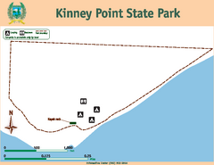
Kinney Point State Park Map
Map of island with detail of trails and recreation zones
63 miles away
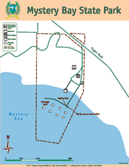
Mystery Bay State Park Map
Map of park with detail of trails and recreation zones
63 miles away
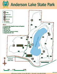
Anderson Lake State Park Map
Map of park and trails
64 miles away
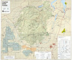
Capitol State Forest Map
65 miles away
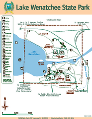
Lake Wenatchee State Park Map
Map of island with detail of trails and recreation zones
65 miles away
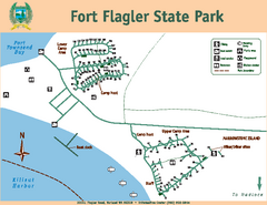
Fort Flagler State Park Map
Map of park with detail of trails and recreation zones
65 miles away
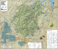
Capitol State Forest Map
Shows all trails in Capitol State Forest and surrounding area, including Lower Chehalis State...
66 miles away
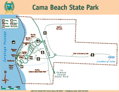
Cama Beach State Park Map
Map of park with detail of trails and recreation zones
66 miles away
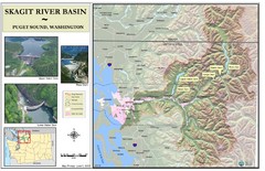
Skagit River Map
Skagit River Basin Overview Map (Pink shading is the FEMA 100 Year Flood)
68 miles away
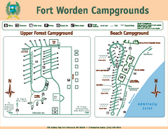
Fort Worden Campgrounds Map
Map of park campgrounds
69 miles away
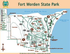
Fort Worden State Park Map
Map of park with detail of trails and recreation zones
69 miles away
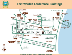
Fort Worden Conference Buildings Map
Map of conference buildings in Fort Worden State Park
69 miles away
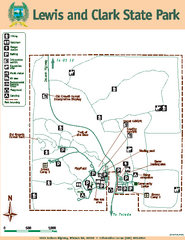
Lewis and Clark State Park Map
Map of park with detail of recreation zones and trails
70 miles away
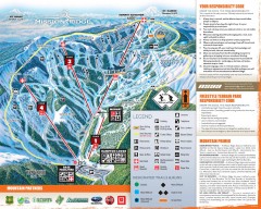
Mission Ridge Ski Trail Map
Official ski trail map of Mission Ridge ski area from the 2007-2008 season.
70 miles away
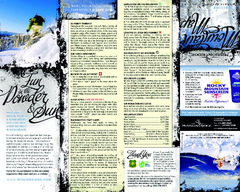
Mission Ridge Ski Area Ski Trail Map
Trail map from Mission Ridge Ski Area, which provides downhill, night, and terrain park skiing. It...
71 miles away
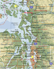
Washington State - West Coast Map
Washington State - West Coast Map
71 miles away
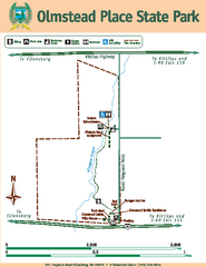
Olmstead Place State Park Map
Map of park with detail of trails and recreation zones
71 miles away

Coupeville tourist map
Tourist map of Coupeville, Washington. Shows all businesses.
72 miles away
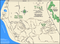
Ft Ebey/Kettle Park Trail Map
Trail map of Fort Ebey Park and Kettle Park, Washington
74 miles away
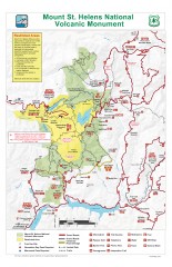
Mt. Saint Helens National Volcanic Monument...
Official recreation map showing all roads, trails, campgrounds, and other facilities. Also shows...
74 miles away
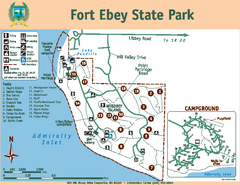
Fort Ebey State Park Map
Map of park with detail of trails and recreation zones
74 miles away
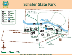
Schafer State Park Map
Map of park with detail of trails and recreation zones
75 miles away
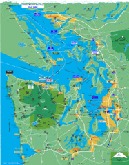
Seattle Ferry Guide Map
Map of ferries around Seattle, Puget Sound and Olympic Peninsula
75 miles away

Oak Harbor tourist map
Tourist map of Oak Harbor, Washington. Shows all businesses.
76 miles away
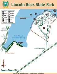
Lincoln Rock State Park Map
76 miles away
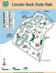
Lincoln Rock State Park Map
Map of park with detail of trails and recreation zones
76 miles away
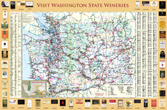
Washington State Winery Map
Washington State Winery Map
78 miles away
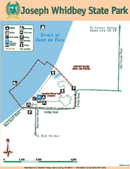
Joseph Whidbey State Park Map
Map of park with detail of trails and recreation zones
78 miles away
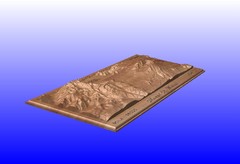
Mount St. Helens carved in wood by carvedmaps.com...
Mount St. Helens carved in wood by carvedmaps.com
78 miles away
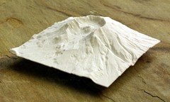
Mt. St. Helens 3D Print Map
This is a 3D-printed map of the cone, crater, and summit of Mt. St. Helens in Washington, USA. It...
79 miles away
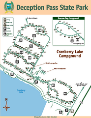
Deception Pass State Park Map
Map of park with detail of trails and recreation zones
82 miles away
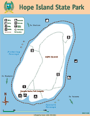
Hope Island State Park Map
Map of park with detail of trails and recreation zones
82 miles away
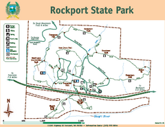
Rockport State Park Map
Map of park with detail of trails and recreation zones
82 miles away

