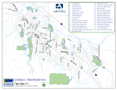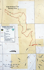
Grizzly Peak Trail Map
Topographic trail map of Grizzly Peak near Ashland, Oregon. Shows trails and distances. From...
351 miles away
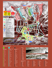
Kicking Horse Resort Ski Trail Map 2008-2009
Trail map from Kicking Horse Resort, which provides downhill and nordic skiing. This ski area has...
352 miles away
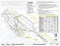
Dawn Mountain Nordic Ski Trail Map
Trail map from Dawn Mountain Nordic.
352 miles away

BTS Route Map
Map of BTS bus routes throughout Klamath Falls
352 miles away
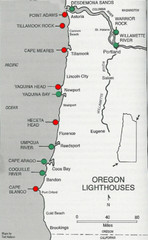
Lighthouses of the Oregon Coast Map
lighthouses (active, inactive, and destroyed) on the coast of Oregon (and the Columbia River)
353 miles away
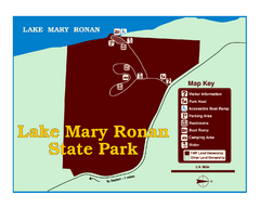
Lake Mary Ronan State Park Map
Off the beaten path just seven miles west of Flathead Lake, this park is shaded by Douglas fir and...
353 miles away
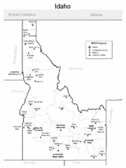
Idaho Airports Map
354 miles away

Rotary Trail Map
354 miles away
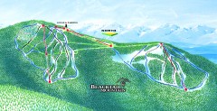
Blacktail Mountain Ski Trail Map
Official ski trail map of Blacktail Mountain ski area. See Blacktail's site for trailnames.
354 miles away

Blacktail Mountain Ski Area Ski Trail Map
Trail map from Blacktail Mountain Ski Area.
354 miles away
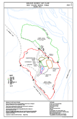
2004–06 Golden Golf Course Trail Map
Trail map from Golden Golf Course.
354 miles away
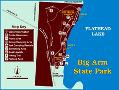
Big Arm State Park Map
Clear map and map key of Park camping grounds.
356 miles away
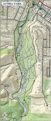
Lithia Park Trail Map
Trail map of Lithia Park in town of Ashland, Oregon. Adjacent to the Oregon Shakespeare Festival.
357 miles away
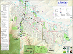
Ashland Trails Map
Trail map of Ashland, Oregon. Shows bicycle routes and public parks and trails.
357 miles away
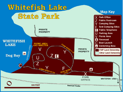
Whitefish Lake State Park Map
Although it’s right on the outskirts of Whitefish, this small park provides a mature forest...
358 miles away
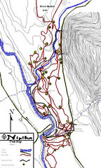
Nipika Ski Trail Map
Trail map from Nipika, which provides nordic skiing. This ski area has its own website.
359 miles away
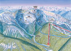
Whitefish Mountain Resort Hellroaring Ski Trail...
Trail map from Whitefish Mountain Resort.
359 miles away

Whitefish Mountain Resort Northside Ski Trail Map
Trail map from Whitefish Mountain Resort.
359 miles away
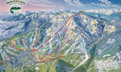
Whitefish Mountain Ski Trail Map - Front Side
Official ski trail map of Whitefish Mountain ski area from the 2007-2008 season. (formerly named...
359 miles away
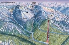
Whitefish Mountain Ski Trail Map - Hellroaring...
Official ski trail map of Whitefish Mountain ski area from the 2007-2008 season. (formerly named...
360 miles away
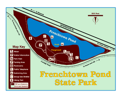
Frenchtown Pond State Park Map
Plan to bring everyone in the family to this day-use-only park for a whole afternoon of picnicking...
360 miles away

Steens Mountain Topo Map
Topography map of the east side of Steens mountain in Oregon.
360 miles away
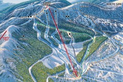
Whitefish Mountain Ski Trail Map - North Side
Official ski trail map of Whitefish Mountain ski area from the 2007-2008 season. (formerly named...
360 miles away
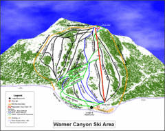
Warner Canyon Ski Trail Map
Trail map from Warner Canyon, which provides downhill skiing.
360 miles away
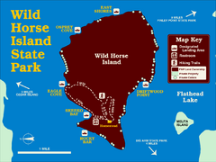
Wild Horse Island State Park Map
Boat access to this day-use-only, primitive park is regulated to protect the 2,000-acre island. The...
360 miles away

Lakeview Oregon Road Map
363 miles away
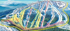
Mt. Ashland Ski Trail Map
Ski trail map of Mt. Ashland ski area near Ashland, Oregon
364 miles away
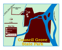
Council Grove State Park Map
Clearly marked map.
365 miles away
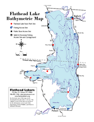
Bathymetric Map of Flathead Lake
Bathymetry refers to underwater depth
365 miles away
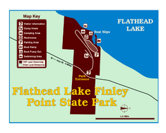
Finley Point State Park Map
This park is located in a secluded, mature pine forest near the south end of Flathead Lake. Enjoy...
366 miles away
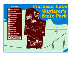
Wayfarers State Park Map
367 miles away
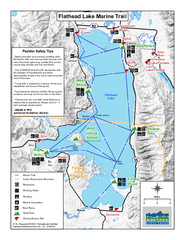
West Shore State Park Map
Glacially carved rock outcrops rise from Flathead Lake to overlooks with spectacular views of the...
368 miles away
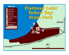
Yellow Bay State Park Map
Yellow Bay is in the heart of the famous Montana sweet cherry orchards, blossoms color the...
369 miles away
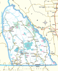
Kootenay Mountains Map
371 miles away
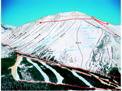
Castle Mountain Resort Ski Trail Map
Trail map from Castle Mountain Resort, which provides downhill skiing. This ski area has its own...
371 miles away
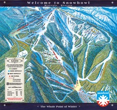
Montana Snowbowl Ski Trail Map
Trail map from Montana Snowbowl.
372 miles away
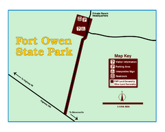
Fort Owen State Park Map
Fort Owen’s adobe and log remains preserves the site of the first permanent white settlement...
373 miles away

Missoula, Montana City Map
373 miles away
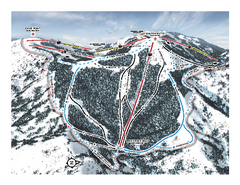
Bogus Basin Pine Creek Ski Trail Map
Trail map from Bogus Basin, which provides downhill, night, nordic, and terrain park skiing. It has...
373 miles away

