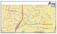
Tel Aviv Railway Map
The rail system in Tel Aviv, Israel
1508 miles away
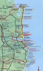
Santorini, Greece Beach Tourist Map
1508 miles away
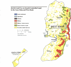
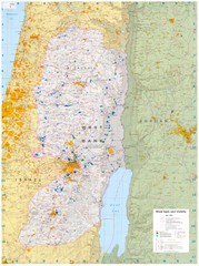
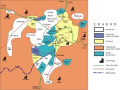
Gaza Strip and West Bank Jewish Land Use Map
1509 miles away
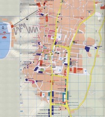
Fira Tourist Map
Tourist map of town of Fira, Santorini, Greece
1510 miles away
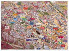
Thira Santorini Tourist Map
Birds-eye view tourist map of Thira (Fira), Santorini, Greece. Shows logos of local businesses.
1510 miles away

Hot night map tel aviv - israel 2009
a great night map of tel aviv , all the best bars and clus on that map , amzingggggg city
1510 miles away
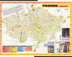
Pachino Street Map
Street map of town of Pachino, Sicily. Shows points of interest. In Italian. Scanned
1510 miles away
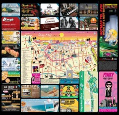
Tel Aviv day map summer 2009
this is a great day map that show the real life in tel aviv , also theres a small map of "park...
1510 miles away
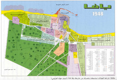
Detailed Map Of Jaffa Before Nakba
Map of Jaffa district and neighboring villages. Note: Map is not in English
1511 miles away
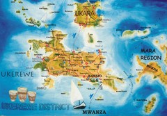
Ukerewe Island Lake Victoria Map
1511 miles away

Oia Tourist Map
Tourist map of Oia, Santorini, Greece. Scanned.
1512 miles away
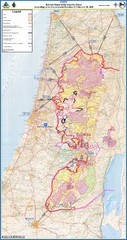
Israel Security Fence Route Map
Revised route of the Israel Security Fence around the West Bank as of Feb 2005
1512 miles away
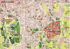
Jerusalem Tourist Map
1513 miles away
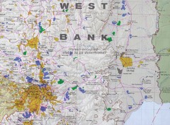
Jerusalem Tourist Map
1513 miles away
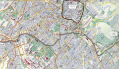
Jerusalem Map
Map of Jerusalem, Israel. Old Jerusalem highlighted. Scanned.
1513 miles away

The Dead Sea Map
1514 miles away
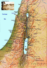
Israel Map
Israel map highlighting location of Theater of Sepphoris
1514 miles away
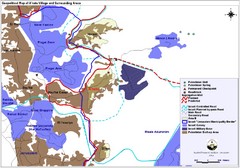
Anata Village Geopolitical Map
Geopolitical map of Anata Village in the West Bank and surrounding areas
1515 miles away
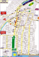
Kalamata Tourist Map
Tourist map of central Kalamata, Greece. Shows points of interest. In Greek.
1516 miles away
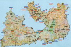
Milos Tourist Map
Tourist map of Milos, Greece showing towns, airports, beaches and roads.
1516 miles away
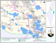
West Bank Village Map
Demographic map of several villages in the West Bank surrounding Jerusalem.
1520 miles away
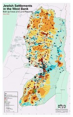
Jewish Settlements in West Bank Map
Shows Jewish settlements in West Bank of Israel.
1521 miles away
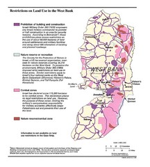
West Bank Land Restrictions Map
Map of land restrictions in West Bank as of 1993
1522 miles away
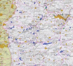
Western West Bank Map
1522 miles away
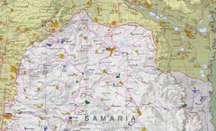
Northern West Bank Map
1522 miles away
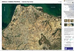
Cabinda City Map
Topo city map of central Cabinda, Angola. Shows points of interest.
1524 miles away
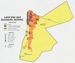
Jordan land use Map
1526 miles away

Mali Political Map
1528 miles away
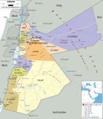
Jordan political Map
1531 miles away
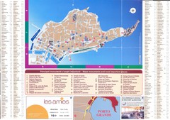
Siracusa Ortigia Map
1531 miles away
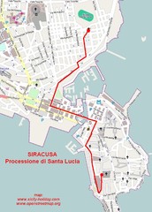
Saint Lucy's procession in Syracuse Map
Itinerary of the yearly St. Lucy's procession in Syracuse - Sicily
1532 miles away
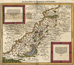
Munster’s Map of the Holy Land (1588)
Sebastian Munster's map of the Abrahamic Holy Land in 1588.
1532 miles away
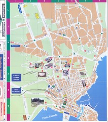
Siracusa Map
1532 miles away
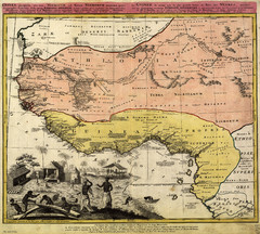
Erben’s Map of Western Africa (1743)
Homann Erben's map of the "Barbary Coast" of Western Africa in 1743.
1533 miles away

