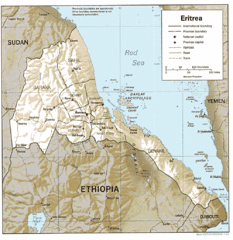
Eritrea in 1987 Map
1352 miles away
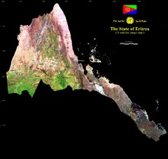
Eritrea Satellite Image Map
Eritrea photographed from space
1352 miles away
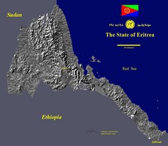
State of Eritrea Drainage and Elevation Map
Eritrea elevation map with drainage lines shown
1352 miles away
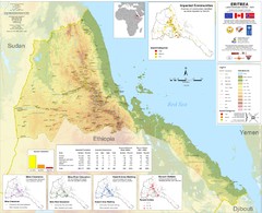
Eritrea Physical Map
1359 miles away
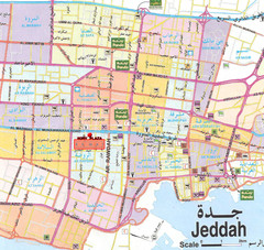
Jeddah city Map
1360 miles away
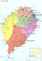
Sao Tome Political Map
Political map of island of São Tomé, lying on the equator off the west coast of...
1364 miles away
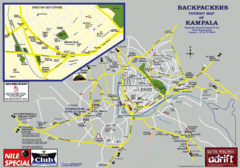
Kampala Tourist Map
Tourist map of Kampala
1364 miles away

Burkina Faso Map
Guide to the country of Burkina Faso
1365 miles away
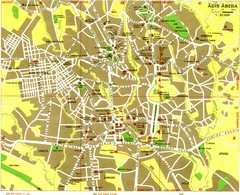
Addis Ababa Tourist Map
1369 miles away
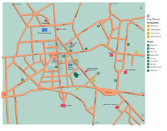
Central Addis Ababa Tourist Map
1369 miles away
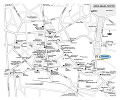
Addis Ababa Tourist Map
1369 miles away
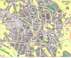
Addis Ababa City Map
Large and descriptive city map marking roads and other facilities.
1370 miles away
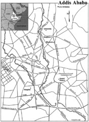
Addis Ababa Map
1370 miles away
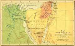
Sinai Peninsula Map - Journey of Israelites from...
Map of Sinai Peninsula showing the journeys of Israelites from Egypt to Promised Land.
1374 miles away
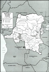
Republic of the Congo 1964 Military Map
Map of the military situation with a hostage crisis in 17 July 1964. Map shows rebel forces and...
1379 miles away
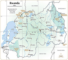
Rwanda Parks and Rainforest Map
1381 miles away
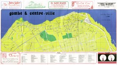
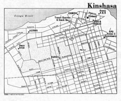
Kinshasa Gombe and Centreville Tourist Map
Tourist map of Gombe and Centreville in Kinshasa. Shows streets and points of interest. In French...
1382 miles away
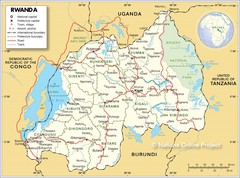
Rwanda Road Map
1383 miles away
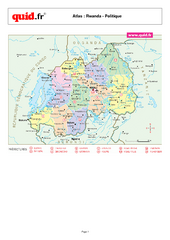
Rwanda Regional Map
Map of Rwanda with detail of regional divides
1384 miles away

Canyon Reef Map
Dving map of Canyon Reef, Farasan Banks, Saudi Arabia. Farasan Banks is an extensive shoal of...
1385 miles away
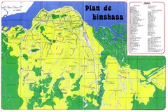
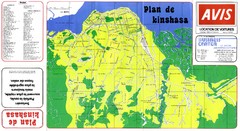
Kinshasa Overview Map
Overview map of Kinshasa, Democratic Republic of Congo shows major streets.
1385 miles away
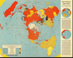
One World One War Map 1942
A map showing the lineup and strategic stakes in World War 2 as of Feb 1, 1942. From Fortune, 1942
1391 miles away
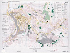
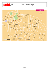
Kigali Road Map
1392 miles away
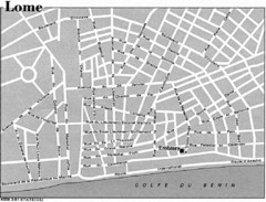
Lome, Togo Tourist Map
1392 miles away
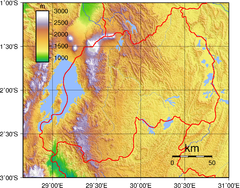
Rwanda Topography Map
1392 miles away
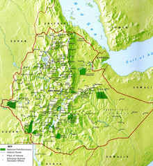
Ethiopia National Parks Map
1393 miles away
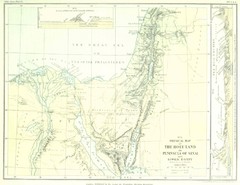
Israel and Sinai Map
The Holy Land -- Peninsula of Sinai -- Lower Egypt
1396 miles away
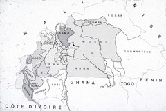
Burkina Faso Ethnic Map
Guide to ethnic regions of Burkina Faso
1396 miles away
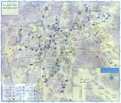
Mecca City Map
City map of Muslim holy city of Mecca, Saudi Arabia (Al Makkah). Shows mosques and other points of...
1399 miles away
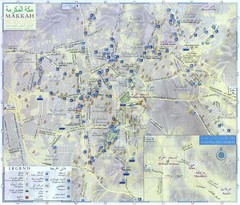
Makkah City Map
City map of Makkah with information and attractions
1399 miles away
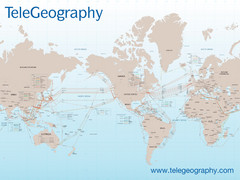
Submarine Cable Map
Shows over 120 submarine cable systems, including major systems that are in service as well as...
1402 miles away
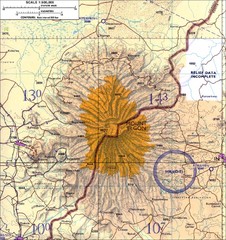
Mount Elgon topo. Map
1408 miles away
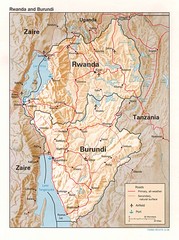
Rwanda Topographic Map
Guide to the African country of Rwanda
1408 miles away
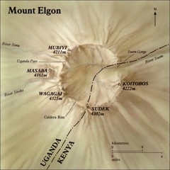
Mount Elgon shaded relief Map
1411 miles away

