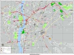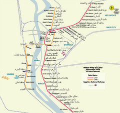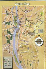
Cairo City Map
1267 miles away
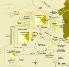
Map of the Pyramid Complex in Giza, Egypt
1267 miles away
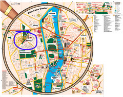
Giza and Cairo Tourist Map
1267 miles away
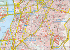
Cairo, Egypt Tourist Map
1268 miles away
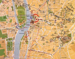
Cairo, Egypt Tourist Map
1268 miles away
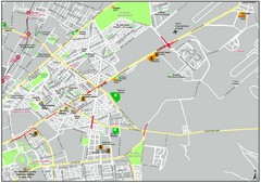
Heliopolis Cairo Map
Map Cairo Heliopolis.
1273 miles away
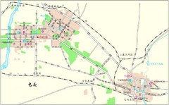
Boutou Tourist Map
Locations in Boutou, Benin
1280 miles away
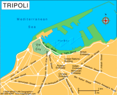
Tripoli City Map
Visit this city for its wonderful restaurants and beautiful views.
1281 miles away
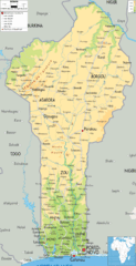
Benin Physical Map
1283 miles away

Tripoli Map
1283 miles away
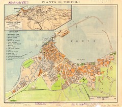
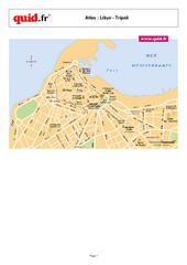
Tripoli City Map
City map of Tripoli, Libya. Shows points of interest. Scale 1:20,000. In Italian.
1284 miles away
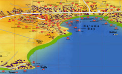
Na'ama Bay Hotel Map
1287 miles away
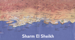
Sharm El Sheikh Coastal Map
Landmarks, hotels and areas in Sharm El Sheikh
1288 miles away
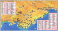
Na'ama Bay, Egypt Tourist Map
Tourist map of Na'ama Bay and Sharm el Sheikh Egypt. Show hotels, restaurants, bars, banks...
1290 miles away
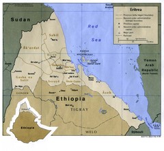
Eritrea Map
1290 miles away

Mediterranean 2001 tectonics & kinematics Map
1295 miles away
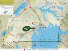
Uganda Tourist Map
Map of Uganda shows Trails and the proposed location of Equator City.
1297 miles away
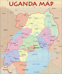
Uganda Political Map
Political map of Uganda. Shows regions, cities, and water features.
1297 miles away

Red Sea Topography Map
1298 miles away
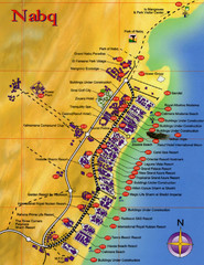
Nabq Bay Tourist Map
1303 miles away
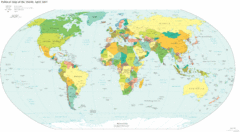
World Map 2007
Political map of the world as of 4/2007
1316 miles away
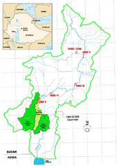
Omo River Drainage area Map
1325 miles away
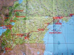
Uganda Tourist Map
1327 miles away
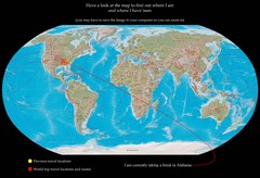
World Map
1328 miles away
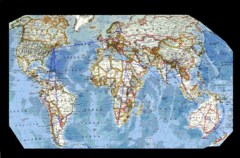
World Map
1328 miles away
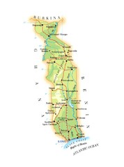
Togo Major Roads Map
1332 miles away
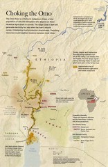
Omo River Ethiopia Map
Choking of the Omo River from National Geographic Magazine
1333 miles away

Togo Topography Map
1336 miles away
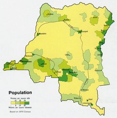
Zaire Population Map
This map clearly marks the distribution of Zaire's population.
1342 miles away
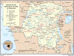
Democratic Republic of Congo Map
Overview map of the Democratic Republic of Congo (DRC).
1342 miles away
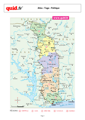
Togo Regional Map
Map of country with detail of regional divides
1344 miles away
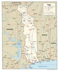
Togo Political Map
1344 miles away
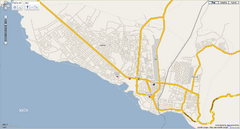
Goma, Congo street map
Street map of eastern Congo–Kinshasha city of Gome, near the Rwanda border. Produced by...
1345 miles away
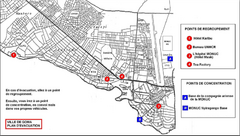
City of Goma Evacuation Plan, late 2007 Map
Map of Goma indicating evacuation points for Congolese government push against rebel groups (mostly...
1345 miles away
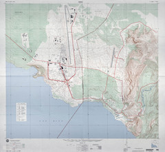
Goma Map
Goma, Democratic Republic of the Congo • original scale 1:7,500, Edition 3-DMA, Series Z091.
1347 miles away
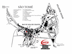
Sao Tome City Map
City map of Sao Tome with tourist information
1352 miles away

