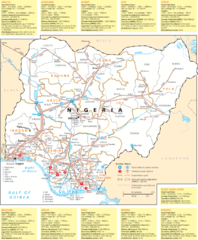
Nigeria electric grid Map
888 miles away

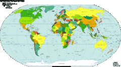
World Climate Map
World Climates after Köppen-Geiger - 21st Century
891 miles away
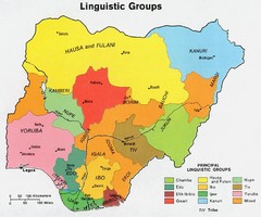
Nigeria Linguistic groups 1979 Map
902 miles away
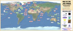
Lost TV Show World Map
Map of Lost Island locations, based on the TV show
903 miles away
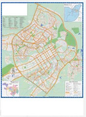
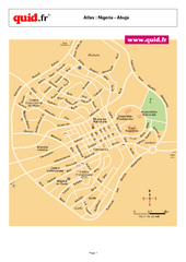
Abuja City Tourist Map
Tourist map of Abuja, Nigeria. Mostly illegible.
918 miles away
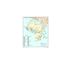
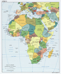
Economic Commission for Africa Map
Map of Economic Commission for Africa with detail of member-countries
921 miles away
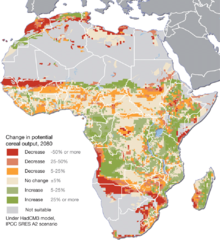
Projected climate change impacts for agriculture...
Africa is one of the regions that will be hit the hardest by climate change, and it will likely...
933 miles away
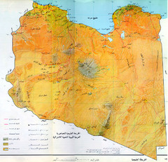
Libya Physical Map
Physical map of Libya showing topography. In Arabic.
952 miles away
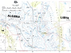
Tassili N'Ajjer National Park Map
Overview map of the Tassili N'Ajjer National Park, Algeria area. 1,000,000 scale
968 miles away
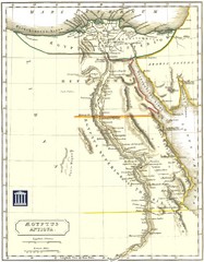
Ancient Egypt Map
976 miles away

Booking, Booking Holiday, Book Holiday, Holiday...
Booking, Booking Holiday, Book Holiday, Holiday Booking, Booking Holidays, Hotel ,Travel, Airlines...
1021 miles away
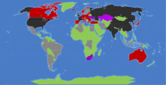
World Nuclear Map
Shows nations with nuclear weapons, nuclear reactors and nuclear security policies
1025 miles away
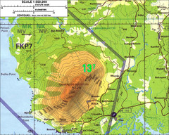
Mt Cameroon Topo Map
Topographic map of Mt. Cameroon, 13,255 feet.
1037 miles away
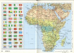
Africa Flag Map
Physical map of Africa with flag legend for all countries. Scanned.
1054 miles away
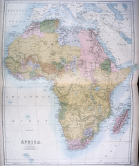
Africa Map 1885
Shows Africa with pre-colonial boundaries demarcated at the Berlin Conference of 1885.
1054 miles away
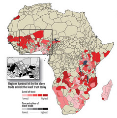
African distrust and the slave trade Map
1055 miles away
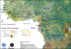
African Great Apes Habitat Range Map
Shows habitat ranges of chimpanzees, bonobos, and gorillas
1059 miles away

Malaria Risk Map
Shows global malaria risk for all regions: stable, unstable, and malaria free
1061 miles away

World Web Map 2007
The World Web Map is based on the 2007 websites world classification carried out by Alexa and...
1072 miles away
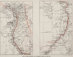
1897 Cook's Nile Map
Map of Steamer and Dahabeah service on the Nile
1073 miles away
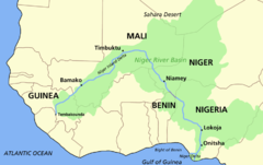
Niger river basin Map
1077 miles away
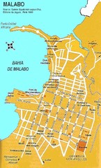
Malabo city Map
1079 miles away
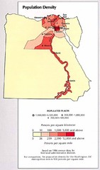
Egypt Population Density Map
Map of Egypt's population density
1082 miles away
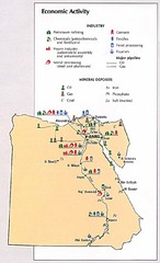
Egypt Economic Activity Map
Map of Egypt's economic activity
1082 miles away
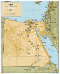
Egypt Country Map
1082 miles away
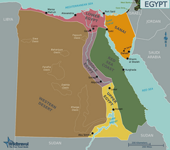
Egypt Regions Map
1082 miles away

Draft Elevation Map Nile Delta
Draft Elevation Map Nile Delta with contour lines
1082 miles away
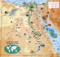
Egypt Tourist Map
Shows major Egyptian tourist sites
1082 miles away
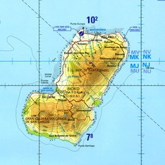
Bioko-Fernando Po island Map
1096 miles away
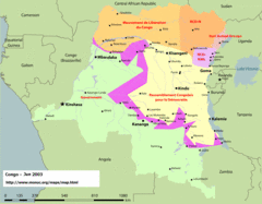
Congo Map
Cities, capitols, borders and more are clearly marked on this map.
1099 miles away
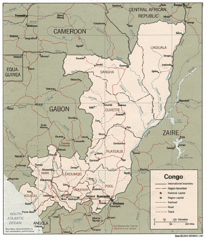
Congo 1986 Guide Map
1099 miles away
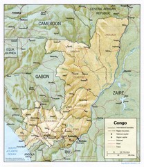
Congo Physical Relief Map
Physical relief map of the Republic of the Congo. Shows major roads and cities.
1099 miles away
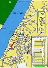
Central Luxor Map
1115 miles away

