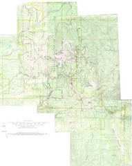
Mount Spokane Trail Map
Contour map of Mount Spokane
128 miles away
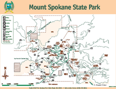
Mount Spokane State Park Map
Map of park with detail of trails and recreation zones
128 miles away
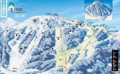
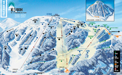
Mt. Spokane Ski Trail Map
Official ski trail map of Mount Spokane ski area from the 2006-2007 season.
128 miles away
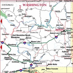
Eastern Washington Road Map
132 miles away
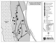
Thompson Falls State Park Map
This shaded, quiet campground is located on the Clark Fork River near the town of Thompson Falls in...
136 miles away
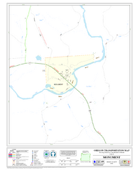
Monument Oregon Road Map
140 miles away
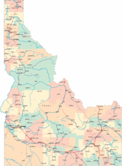
Idaho Road Map
140 miles away
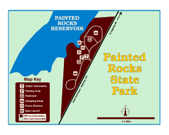
Painted Rocks State Park Map
Located in the scenic Bitterroot Mountains, this 23-acre park offers boating and water sport...
141 miles away
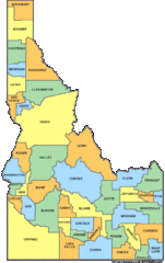
Idaho Counties Map
144 miles away
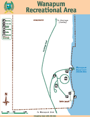
Wanapum Recreational Area Map
Map of park with detail of trails and recreation zones
146 miles away
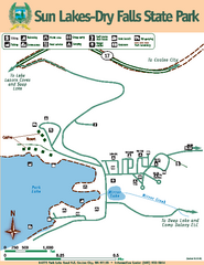
Sun Lakes-Dry Falls State Park Map
Map of park with detail of trails and recreation zones
147 miles away
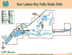
Sun Lakes-Dry Falls State Park Map
Map of park with detail of trails and recreation zones
147 miles away
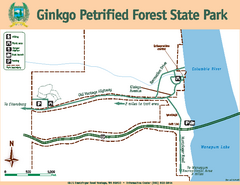
Ginkgo Petrified Forest State Park Map
Map of park with detail of trails and recreation zones
148 miles away
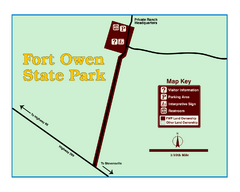
Fort Owen State Park Map
Fort Owen’s adobe and log remains preserves the site of the first permanent white settlement...
150 miles away
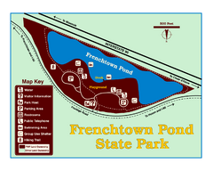
Frenchtown Pond State Park Map
Plan to bring everyone in the family to this day-use-only park for a whole afternoon of picnicking...
153 miles away
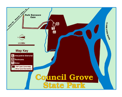
Council Grove State Park Map
Clearly marked map.
154 miles away
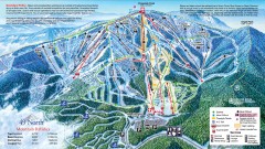
49 Degrees North Ski Trail Map
Official ski trail map of ski area from the 2007-2008 season.
155 miles away

Sandpoint City Map
Street map of downtown Sandpoint
155 miles away
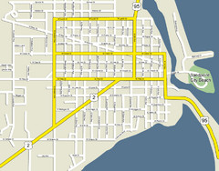
Sandpoint City Beach Map
Downtown Sandpoint Map.
155 miles away
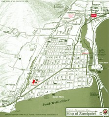
Map of Sandpoint, Idaho
Map of the entire town of Sandpoint including all streets, highways and other information.
155 miles away
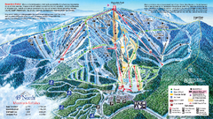
49 North Mountain Resort Ski Trail Map
Trail map from 49 North Mountain Resort, which provides downhill, night, nordic, and terrain park...
155 miles away
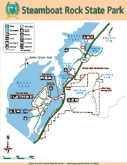
Steamboat Rock State Park Map
Map of park with detail of trails and recreation zones
156 miles away
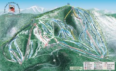
Lost Trail Powder Mountain Ski Trail Map
Official ski trail map of Lost Trail Powder Mountain ski area
157 miles away
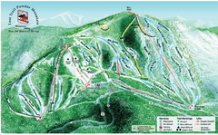
Lost Powder Mountain Ski Trail Map
Trail map from Lost Trail Powder Mountain.
157 miles away

Oregon Trail Historical Map
158 miles away

Schweitzer Mountain Trail Map
Map of ski trails
159 miles away
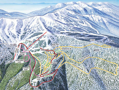
Schweitzer Mountain Trail Map
Ski trail map of Schweitzer Mountin
159 miles away
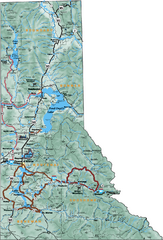
Northern Idaho Road Map
161 miles away

Missoula, Montana City Map
161 miles away
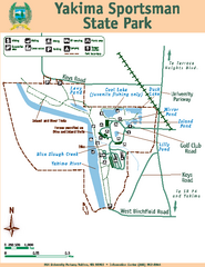
Yakima Sportsman State Park Map
Map of park with detail of trails and recreation zones
161 miles away
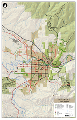
Missoula Bike Trails Map
Road and Mt. Bike trails with a bit of topology near Missoua
161 miles away

Missoula Trail System Map
Basic Map of Hike/Bike/Run Trail system for Missoula MT
161 miles away
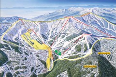
Schweitzer Ski Trail Map - Front
Official ski trail map of front side of Schweitzer ski area from the 2007-2008 season.
162 miles away
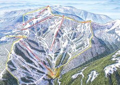
Schweitzer Ski Trail Map - Outback Bowl
Official ski trail map of back side of Schweitzer ski area from the 2007-2008 season.
162 miles away

Yakima, Washington City Map
163 miles away
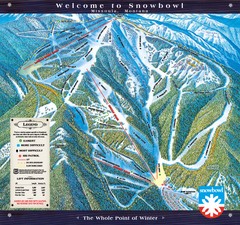
Montana Snowbowl Ski Trail Map
Trail map from Montana Snowbowl.
164 miles away
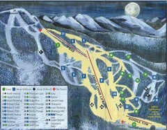
Marshall Mountain Ski Trail Map
Trail map from Marshall Mountain.
166 miles away
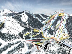
Bogus Basin Ski Trail Map - Front
Official ski trail map of frontside of Bogus Basin ski area from the 2007-2008 season.
168 miles away

