Kishwaukee Gorge Forest Preserve Map
Trail map of Kishwaukee Gorge Forest Preserve in Winnebago County, Illinois.
501 miles away
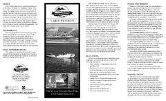
Lake Pueblo State Park Map
Map of park with detail of recreation zones
501 miles away
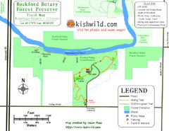
Rockford Rotary Forest Preserve Map
Trail map of Rockford Rotary Forest Preserve in Winnebago County, IL.
501 miles away

Owatonna Map
Visitor Map of Owatonna, Minnesota. Includes all streets, highways, restaurants, hotels, parks and...
501 miles away
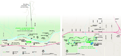
Lyndon B. Johnson National Historical Park...
Official NPS map of Lyndon B. Johnson National Historical Park in Texas. The park is open...
502 miles away
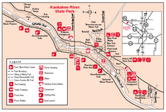
Kankakee River State Park, Illinois Site Map
502 miles away
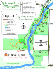
Kishwaukee River Forest Preserve Map
Trail map of Kishwaukee River Forest Preserve in Winnebago county, IL.
502 miles away
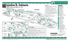
Lyndon B. Johnson State Park Facility and Trail...
502 miles away
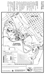
Flandrau State Park Map
Map of park with detail of trails and recreation zones
502 miles away
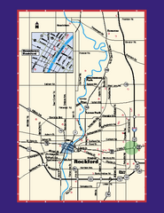
Rockford, Illinois Map
Tourist map of Rockford, Illinois. Museums, parks, hotels and other points of interest are shown.
503 miles away
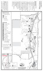
Camden State Park Winter Map
Map of park with detail of trails and recreation zones
503 miles away
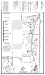
Camden State Park Summer Map
Map of park with detail of trails and recreation zones
503 miles away

Nashville Zoo Map
503 miles away
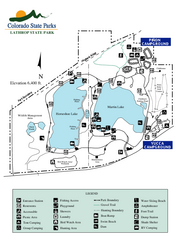
Lathrop State Park Map
Map of park with detail of recreation zones
503 miles away
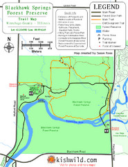
Blackhawk Springs Forest Preserve Map
Trail map of Blackhawk Springs Forest Preserve in Winnebago County, Illinois.
503 miles away
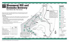
Monument Hill, Texas State Park Trail Map
503 miles away
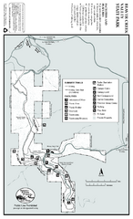
Beaver Creek Valley State Park Map
Map of park with detail of trails and recreation zones
503 miles away
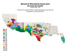
US African Honey Bee Map
Map of the US spread of Africanized honey bees by year, by county, from 1990 to 2007.
503 miles away
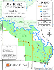
Oak Ridge Forest Preserve Map
Trail map of Oak Ridge Forest Preserve in Winnebago County, Illinois.
503 miles away

Houston Metropolitan Map
Map of Houston Metropolitan area with QTRCO highlighted
504 miles away
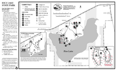
Rice Lake State Park Map
map of park with detail of trails and recreation zones
504 miles away
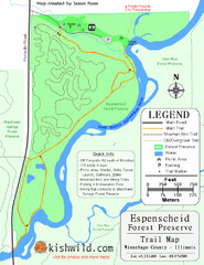
Espenscheid Forest Preserve Map
Trail map of Espenscheid Forest Preserve in Winnebago county, Illinois.
504 miles away
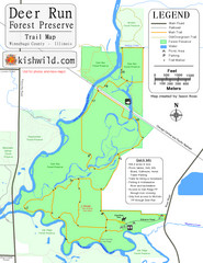
Deer Run Forest Preserve Map
Trail map of Deer Run Forest Preserve in Winnebago County, Illinois.
504 miles away
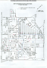
Empty Dangerous Structures Razed Map
flood zone elevation
505 miles away
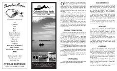
Jackson Lake State Park Map
Map of park with detail of recreation areas
505 miles away
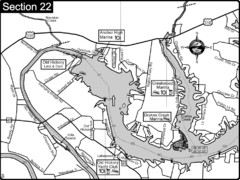
Old Hickory Lake-Cumberland River Map
Section 22 from the Cumberland River Guidebook shows the dam that forms Old Hickory Lake near...
505 miles away
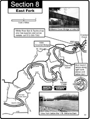
Williams, IN White River East Fork Map
This is a page from the White River Guidebook. The map shows important information for boaters and...
506 miles away

Sakatah Lake State Park Map
map of park with detail of trails and recreation zones
506 miles away
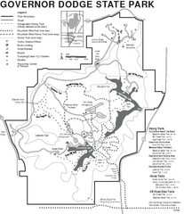
Governor Dodge State Park Map
Bike, Horse, trek, and recreational locations marked on this map.
507 miles away
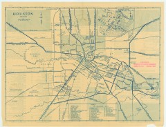
Antique map of Houston from 1935
Map of Houston, Texas from Texas State Library and Archives Commission, 1935
507 miles away
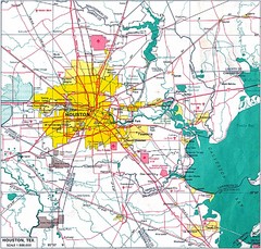
Houston City Map
507 miles away
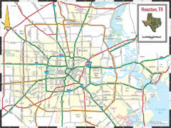
Houston, Texas City Map
507 miles away
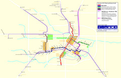
2012 Houston Metro Map
Future rail system to help you move around Houston with ease.
507 miles away
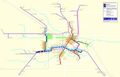
2012 Houston Transit System Map
507 miles away
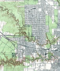
Houston Street and House level Map
Houston topo map with streets, buildings, towns
507 miles away
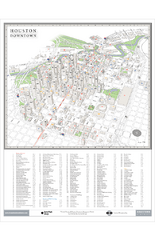
Houston Downtown Map
3D aerial map of downtown Houston, Texas. Shows skyscrapers and points of interest.
507 miles away
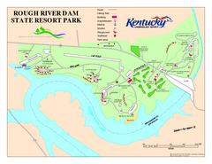
Rough River Dam State Resort Park Map
Map of trails, facilities and golf course in Rough River Dam State Resort Park.
507 miles away
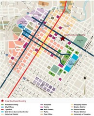
Downtown Houston Map
Street map of downtown Houston
508 miles away

University of Houston Map
Campus Map of the University of Houston. All buildings shown.
508 miles away

