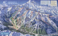
Crystal Mountain Resort Ski Trail Map
Trail map from Crystal Mountain Resort, which provides downhill skiing. It has 10 lifts servicing...
138 miles away
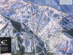
Crystal Mountain Resort Northway Inset Ski Trail...
Trail map from Crystal Mountain Resort, which provides downhill skiing. It has 10 lifts servicing...
138 miles away

Magnolia tourist map
Tourist map of Magnolia, Washington. Shows all businesses.
138 miles away
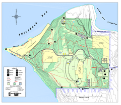
Discovery Park trail map
Trail and facility map of Discovery Park. Discovery Park is a 534 acre natural area park operated...
138 miles away
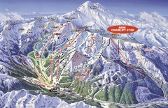
Crystal Mountain Ski Trail Map
Official ski trail map of Crystal Mountain ski area from the 2007-2008 season. 2600 acres of...
138 miles away
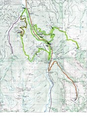
White River 50 Course Map
White River 50 Mile Trail Run
139 miles away
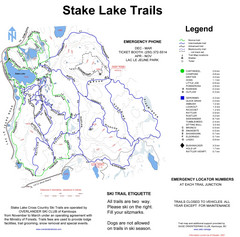
Stake Lake Nordic Ski Trail Map
Trail map from Stake Lake.
139 miles away
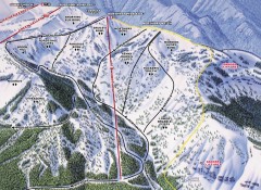
Crystal Mountain Ski Trail Map - Northway Area
Official ski trail map of the Northway area of Crystal Mountain ski area from the 2007-2008 season...
139 miles away
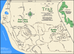
Ft Ebey/Kettle Park Trail Map
Trail map of Fort Ebey Park and Kettle Park, Washington
140 miles away

Yakima, Washington City Map
140 miles away
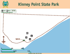
Kinney Point State Park Map
Map of island with detail of trails and recreation zones
140 miles away
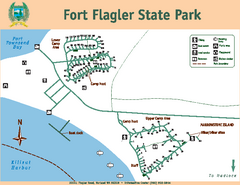
Fort Flagler State Park Map
Map of park with detail of trails and recreation zones
140 miles away
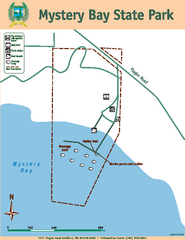
Mystery Bay State Park Map
Map of park with detail of trails and recreation zones
140 miles away
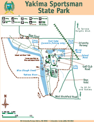
Yakima Sportsman State Park Map
Map of park with detail of trails and recreation zones
140 miles away
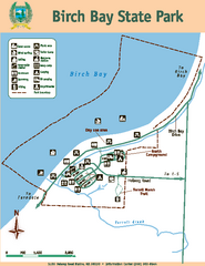
Birch Bay State Park Map
Map of park with detail of trails and recreation zones
140 miles away
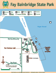
Fay Bainbridge State Park Map
Map of park with detail of trails and recreation zones
140 miles away
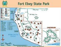
Fort Ebey State Park Map
Map of park with detail of trails and recreation zones
140 miles away
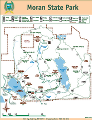
Moran State Park Map
Map of park with detail of trails and recreation zones
141 miles away
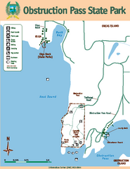
Obstruction Pass State Park Map
Map of park with detail of trails and recreation zones
141 miles away
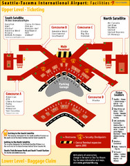
SeaTac Airport Map
141 miles away
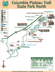
Columbia Plateau Trail State Park North Map
Map of park with detail of trails and recreation zones
141 miles away
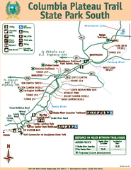
Columbia Plateau Trail State Park South Map
Map of park with detail of trails and recreation zones
141 miles away
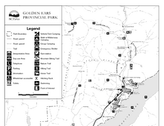
Golden Ears Provincial Park Map
Park map of Golden Ears Provincial Park, BC. 2 pages.
142 miles away
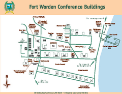
Fort Worden Conference Buildings Map
Map of conference buildings in Fort Worden State Park
142 miles away
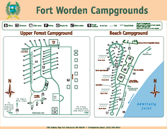
Fort Worden Campgrounds Map
Map of park campgrounds
142 miles away
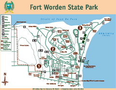
Fort Worden State Park Map
Map of park with detail of trails and recreation zones
142 miles away
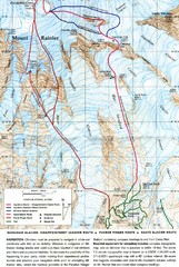
Mount Rainier Topo Map
Map of Mount Rainier Ascent. We ascended the "Muir Snowfield" and then went up the "...
142 miles away

3-D Panoramic Map of the Puget Sound
A 3D panoramic map of a view from a private residence over Puget Sound toward the Olympic mountains.
142 miles away
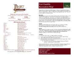
Stottlemeyer trails Map
142 miles away
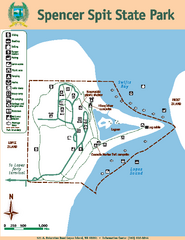
Spencer Spit State Park Map
Map of park with detail of trails and recreation zones
143 miles away
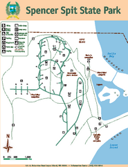
Spencer Spit State Park Map
Map of park with detail of trails and recreation zones
143 miles away
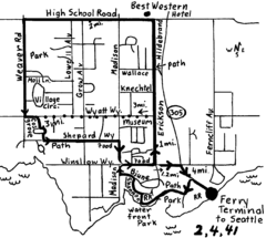
Bainbridge Walking Map
From Seattle Ferry Terminal, take the Bainbridge Ferry to Winslow. The walk is 4 miles with...
143 miles away

Tourist map of Downtown Des Moines, Washington
Tourist map of Downtown Des Moines, Washington. Shows all businesses.
143 miles away

Des Moines Washington tourist map
Tourist map of Des Moines, Washington, including Kent and SeaTac airport.
143 miles away
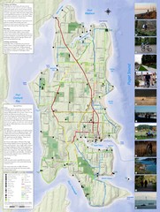
Bainbridge Island Hiking and Biking Map
Shows trails and bike routes on Bainbridge Island, Washington in the Puget Sound. Also shows...
143 miles away
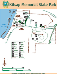
Kitsap Memorial State Park Map
Map of island with detail of trails and recreation zones
143 miles away
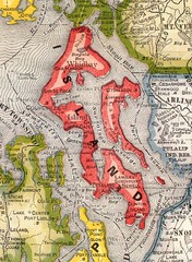
Island County Washington, 1909 Map
143 miles away
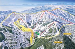
Schweitzer Ski Trail Map - Front
Official ski trail map of front side of Schweitzer ski area from the 2007-2008 season.
144 miles away
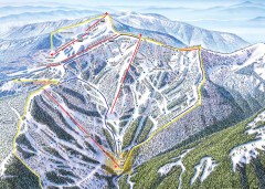
Schweitzer Ski Trail Map - Outback Bowl
Official ski trail map of back side of Schweitzer ski area from the 2007-2008 season.
145 miles away
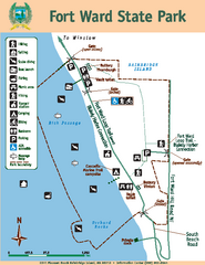
Fort Ward State Park Map
Map of park with detail of trails and recreation zones
145 miles away

