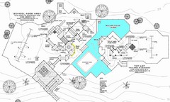
Lynden City Park Map
126 miles away
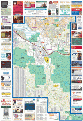
Issaquah tourist map
Issaquah, Washington tourist map. Shows all businesses.
126 miles away
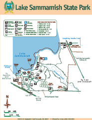
Lake Sammamish State Park Map
Map of island with detail of trails and recreation zones
127 miles away
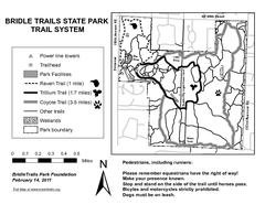
Bridle Trails State Park Map
128 miles away
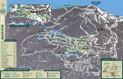
Sovereign Lake Nordic Ski Trail Map
Trail map from Sovereign Lake, which provides night and nordic skiing. This ski area has its own...
128 miles away
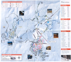
Sovereign Lake Ski Trail Map
Trail map from Sovereign Lake, which provides night and nordic skiing. This ski area has its own...
128 miles away
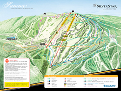
Silver Star Mountain Resort Summer Ski Trail Map
Trail map from Silver Star Mountain Resort.
129 miles away
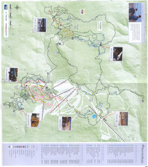
Silver Star Mountain Resort Nordic Ski Trail Map
Trail map from Silver Star Mountain Resort.
129 miles away
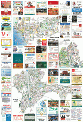
Kirkland tourist map
Kirkland, Washington tourist map. Shows all businesses.
129 miles away
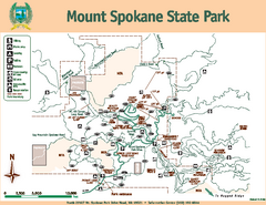
Mount Spokane State Park Map
Map of park with detail of trails and recreation zones
129 miles away
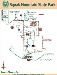
Squak Mountain State Park Map
Map of park with detail of trails and recreation zones
129 miles away
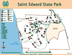
Saint Edward State Park Map
Map of park with detail of trails and recreation zones
129 miles away
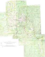
Mount Spokane Trail Map
Contour map of Mount Spokane
129 miles away
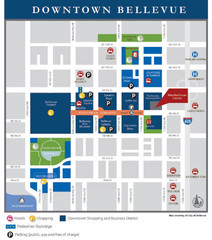
Downtown Bellevue Map
Driving Directions and Downtown Map
129 miles away
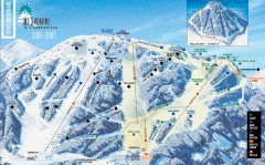
Mt. Spokane Ski Trail Map
Official ski trail map of Mount Spokane ski area from the 2006-2007 season.
129 miles away
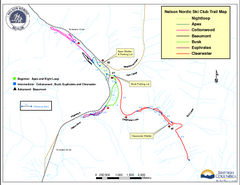
Nelson Nordic Ski Trail Map
Trail map from Nelson Nordic, which provides night and nordic skiing. This ski area has its own...
130 miles away
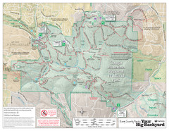
Cougar Mountain Park Trail Map
Trail map of Cougar Mountain Regional Wildland Park, part of the "Issaquah Alps"
130 miles away
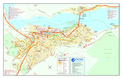
Nelson BC Town Map
130 miles away
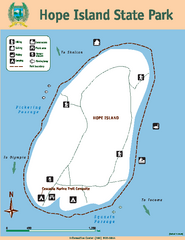
Hope Island State Park Map
Map of park with detail of trails and recreation zones
130 miles away
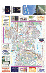
Bellevue tourist map
Tourist map of Bellevue, Washington. Shows all businesses.
130 miles away
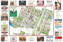
Tourist map of Downtown Bellevue
Tourist map of Downtown Bellevue, Washington. Shows all businesses.
130 miles away
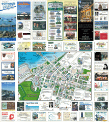
Downtown Edmonds tourist map
Tourist map of Downtown Edmonds, Washington. Shows all businesses.
130 miles away
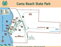
Cama Beach State Park Map
Map of park with detail of trails and recreation zones
130 miles away
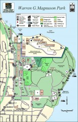
Warren G. Magnuson Park Map
Map of Warren G. Magnuson Park Warren G. Magnuson Park sits on a splendid mile-long stretch of...
130 miles away

South Whidbey Island tourist map
Tourist map of South Whidbey Island, Washington. Shows all businesses.
131 miles away

South Whidbey tourist map
Tourist map of South Whidbey, Washington. Shows all businesses.
131 miles away
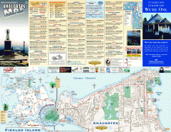
Fidalgo Island tourist map
Tourist map of Fidalgo Island in Anacortes, Washington. Shows recreation and points of interest.
131 miles away
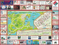
Anacortes tourist map
Tourist map of Anacortes, Washington. Shows recreation and points of interest.
131 miles away
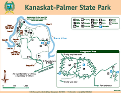
Kanaskat-Palmer State Park Map
Map of park with detail of trails and recreation zones
131 miles away
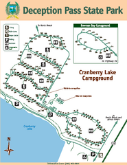
Deception Pass State Park Map
Map of park with detail of trails and recreation zones
132 miles away
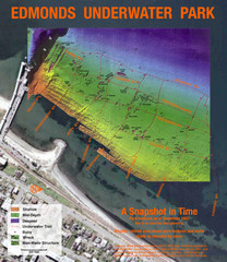
Edmonds Underwater Park Map
Map of underwater park for divers
132 miles away
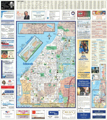
Edmonds tourist map
Tourist map of Edmonds, Washington. Shows all businesses.
132 miles away
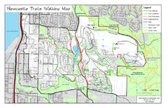
Newcastle Trails Trail Map
Trail map of existing and proposed trails in Newcastle, WA
132 miles away
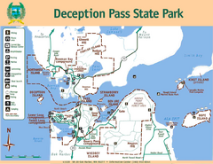
Deception Pass State Park Map
Map of park with detail of trails and recreation zones
133 miles away
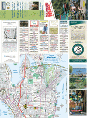
Greater Madison tourist map
Tourist map of Greater Madison, Washington. Shows all businesses.
133 miles away
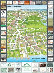
Madison Park tourist map
Tourist map of Madison Park, Washington. Shows all businesses.
133 miles away
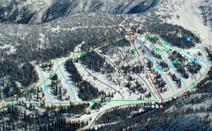
Whitewater Ski Resort Silver King Ski Trail Map
Trail map from Whitewater Ski Resort.
133 miles away
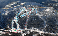
Whitewater Ski Resort Summit Ski Trail Map
Trail map from Whitewater Ski Resort.
133 miles away
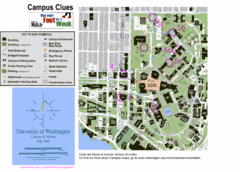
University of Washington map
133 miles away

