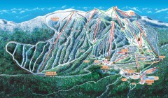
Big White Ski Trail Map
Official ski trail map of Big White ski area from the 2007-2008 season.
89 miles away
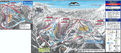
Mt. Baker Ski Trail Map
Official ski trail map of Mount Baker ski area from the 2007-2008 season.
90 miles away
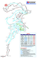
Telemark Cross Country Ski Trail Map
Trail map from Telemark Cross Country, which provides nordic skiing. This ski area has its own...
91 miles away
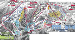
Mt. Baker Ski Area Ski Trail Map
Trail map from Mt. Baker Ski Area, which provides terrain park skiing. It has 10 lifts servicing 38...
91 miles away
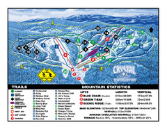
Crystal Mountain Resort Ski Trail Map
Trail map from Crystal Mountain Resort, which provides downhill skiing. This ski area has its own...
92 miles away
Mission Ridge Ski Area Ski Trail Map
Trail map from Mission Ridge Ski Area, which provides downhill, night, and terrain park skiing. It...
92 miles away
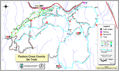
Paulson X-C (Castlegar Nordic) Ski Trail Map
Trail map from Paulson X-C (Castlegar Nordic), which provides nordic skiing. This ski area has its...
93 miles away
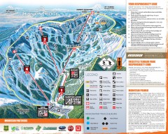
Mission Ridge Ski Trail Map
Official ski trail map of Mission Ridge ski area from the 2007-2008 season.
93 miles away

Red Mountain Trail Map
Ski trail map
95 miles away
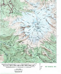
Mt. Baker Topo Map
Topo map of Mt. Baker, Washington, elevation 10,778ft.
96 miles away

Red Mountain Ski Trail Map
Trail map from Red Mountain.
96 miles away

2006–08 Black Jack Nordic Map
Trail map from Black Jack.
96 miles away
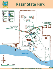
Rasar State Park Map
Map of park with detail of trails and recreation zones
99 miles away
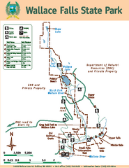
Wallace Falls State Park Map
Map of park with detail of trails and recreation zones
100 miles away
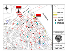
City of Trail Downtown Parking Map
Parking map of downtown Trail, British Columbia
100 miles away
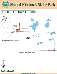
Mount Pilchuck State Park Map
Map of park with detail of trails and recreation zones
100 miles away
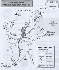
Little Pend Oreille Off Road Vehicle (ORV) Area...
Map of the Off Road Vehicle Area in Little Pend Oreille, Washington. Includes all bike trails...
100 miles away

City of Trail BC Map
Map of city of Trail, BC on the Columbia River
101 miles away
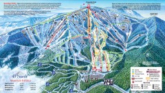
49 Degrees North Ski Trail Map
Official ski trail map of ski area from the 2007-2008 season.
101 miles away
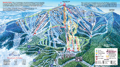
49 North Mountain Resort Ski Trail Map
Trail map from 49 North Mountain Resort, which provides downhill, night, nordic, and terrain park...
102 miles away
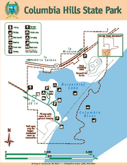
Columbia Hills State Park Map
Map of park with detail of trails and recreation zones
102 miles away
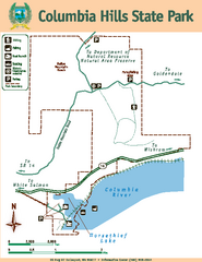
Columbia Hills State Park Map
Map of park with detail of trails and recreation zones
102 miles away
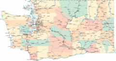
Washington Road Map
Road map of state of Washington
103 miles away
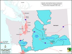
Washington Steelhead Salmon Map
Shows federally listed steelhead salmon evolutionarily significant units in Washington state.
103 miles away
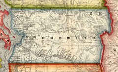
Snohomish County Washington, 1909 Map
109 miles away
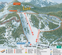
The Summit at Snoqualmie Summit East Ski Trail Map
Trail map from The Summit at Snoqualmie, which provides night and terrain park skiing. It has 30...
110 miles away
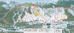
The Summit at Snoqualmie Summit Central Ski Trail...
Trail map from The Summit at Snoqualmie, which provides night and terrain park skiing. It has 30...
110 miles away
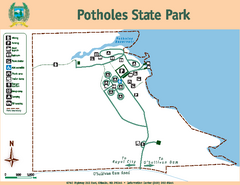
Potholes State Park Map
Map of park with detail of trails and recreation zones
111 miles away

Centennial Trail Map
112 miles away
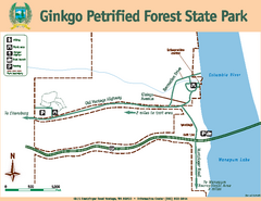
Ginkgo Petrified Forest State Park Map
Map of park with detail of trails and recreation zones
112 miles away
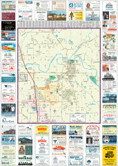
Arlington tourist map
Tourist map of Arlington, Washington. Shows all businesses.
112 miles away

Centennial Trail Map
Centennial Trail has 23 miles completed (Snohomish to Bryant) with more in progress.
112 miles away
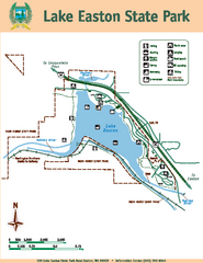
Lake Easton State Park Map
Map of island with detail of trails and recreation zones
112 miles away
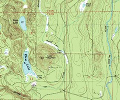
Fuller Mountain Topo Map
Fuller Mountain map with lakes, mountains and elevations identified.
114 miles away
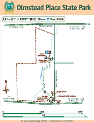
Olmstead Place State Park Map
Map of park with detail of trails and recreation zones
114 miles away
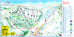
Hemlock Resort Ski Trail Map
Trail map from Hemlock Resort, which provides downhill and terrain park skiing. It has 4 lifts...
114 miles away
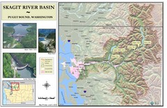
Skagit River Map
Skagit River Basin Overview Map (Pink shading is the FEMA 100 Year Flood)
114 miles away
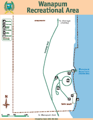
Wanapum Recreational Area Map
Map of park with detail of trails and recreation zones
115 miles away
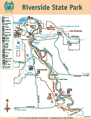
Riverside State Park Map
Map of park with detail of trails and recreation zones
115 miles away

Arlington and Smokey Point tourist map
Tourist map of Arlington and Smokey Point, Washington. Shows all businesses.
115 miles away

