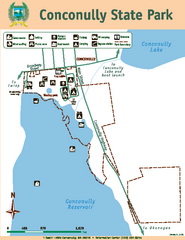
Conconully State Park Map
Map of park with detail of trails and recreation zones
0 miles away
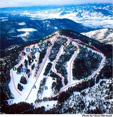
Loup Loup Ski Bowl Ski Trail Map
Trail map from Loup Loup Ski Bowl, which provides downhill, night, and nordic skiing. It has 2...
13 miles away
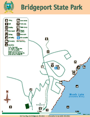
Bridgeport State Park Map
Map of park with detail of trails and recreation zones
39 miles away
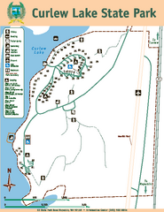
Curlew Lake State Park Map
Map of park with detail of trails and recreation zones
43 miles away
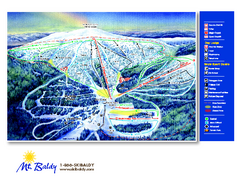
Mt. Baldy Family Ski Area Ski Trail Map
Trail map from Mt. Baldy Family Ski Area.
48 miles away
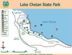
Lake Chelan State Park Map
Map of island with detail of trails and recreation zones
51 miles away
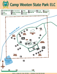
Camp Wooten State Park Map
Map of park with detail of trails and recreation zones
52 miles away
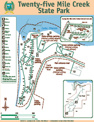
Twenty-Five Mile Creek State Park Map
Map of park with detail of trails and recreation zones
52 miles away

Kettle Valley Trails Map
Map of Kettle Valley Trails. Includes all trails, streets, and attractions.
53 miles away
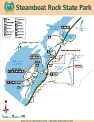
Steamboat Rock State Park Map
Map of park with detail of trails and recreation zones
54 miles away
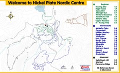
Nickel Plate Nordic Centre Ski Trail Map
Trail map from Nickel Plate Nordic Centre.
58 miles away
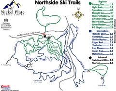
Nickel Plate Nordic Centre North Ski Trail Map
Trail map from Nickel Plate Nordic Centre.
58 miles away
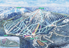
Apex Mountain Ski Trail Map
Official ski trail map of Apex Mountain ski area
58 miles away
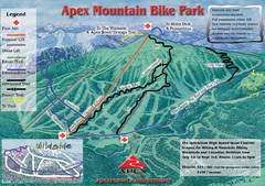
Apex Mountain Resort Biking Ski Trail Map
Trail map from Apex Mountain Resort, which provides downhill and terrain park skiing. It has 5...
58 miles away
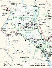
North Cascades National Park map
Official NPS map of North Cascades National Park, Washington. Shows the entire park and...
64 miles away
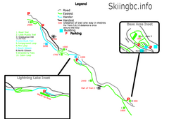
Manning Park Resort 2004–07 Manning Park...
Trail map from Manning Park Resort, which provides downhill and nordic skiing. It has 4 lifts...
64 miles away
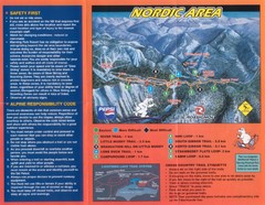
Manning Park Resort 2004–07 Manning Park Cross...
Trail map from Manning Park Resort, which provides downhill and nordic skiing. It has 4 lifts...
64 miles away

Phoenix Mountain Ski Trail Map
Trail map from Phoenix Mountain.
65 miles away
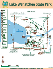
Lake Wenatchee State Park Map
Map of island with detail of trails and recreation zones
68 miles away
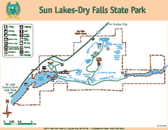
Sun Lakes-Dry Falls State Park Map
Map of park with detail of trails and recreation zones
69 miles away
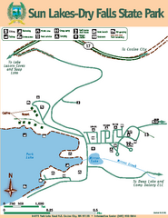
Sun Lakes-Dry Falls State Park Map
Map of park with detail of trails and recreation zones
69 miles away
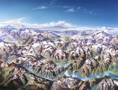
North Cascades National Park Oblique Map
Oblique map looking across Ross Damn, and Diablo Lake towards Seattle
69 miles away
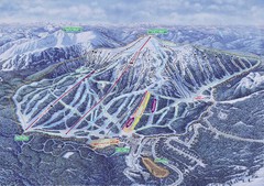
Apex Mountain Ski Resort Map
Apex Mountain Trail Map, Lifts and Elevations
71 miles away
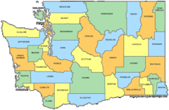
Washington State Counties Map
72 miles away
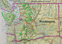
Washington State Road and Recreation Map
72 miles away
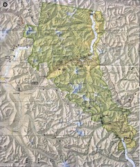
North Cascades National Park Physical Map
National Park
72 miles away
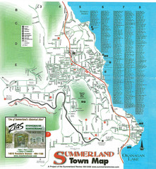
Summerland Town Map
Map of Summerland with details on outdoor-recreation locations and streets
73 miles away
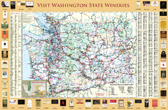
Washington State Winery Map
Washington State Winery Map
74 miles away
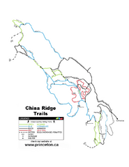
China Ridge XC Ski Trail Map
Trail map from China Ridge XC, which provides nordic skiing.
75 miles away
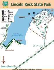
Lincoln Rock State Park Map
81 miles away
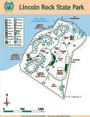
Lincoln Rock State Park Map
Map of park with detail of trails and recreation zones
81 miles away
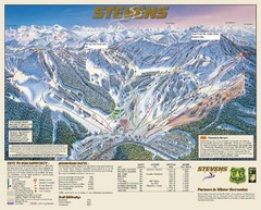
Stevens Pass Trail Map
83 miles away
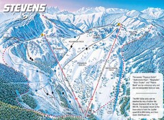
Stevens Pass Ski Area Stevens Pass Mill Valley...
Trail map from Stevens Pass Ski Area, which provides night and terrain park skiing. It has 8 lifts...
84 miles away
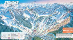
Stevens Pass Ski Trail Map
Official ski trail map of Stevens Pass ski area
84 miles away
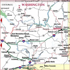
Eastern Washington Road Map
84 miles away
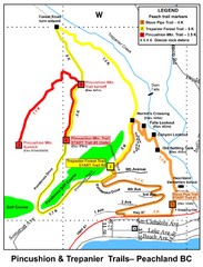
Peachland Walks Map
Guide to Pincushion and Trepanier Trails in Peachland, BC
85 miles away
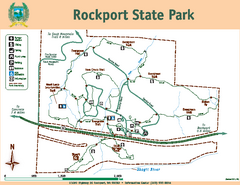
Rockport State Park Map
Map of park with detail of trails and recreation zones
86 miles away
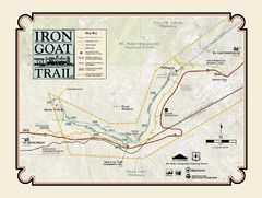
Iron Goat Trail Map
87 miles away

Pictorial map of the Okanagan Valley
88 miles away
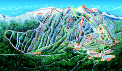
Big White Ski Resort Ski Trail Map
Trail map from Big White Ski Resort, which provides downhill, night, nordic, and terrain park...
89 miles away

