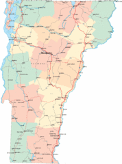
Olympic Scenic Byway Map
Overview map showing the length of the Olympic Scenic Byway, which runs from Lake Ontario (Sackett...
168 miles away
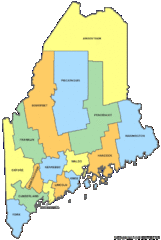
Maine Counties Map
168 miles away
Maine Zip Code Map
Check out this Zip code map and every other state and county zip code map zipcodeguy.com.
168 miles away
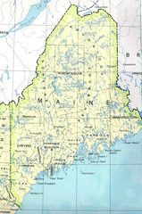
Maine Tourist Map
168 miles away
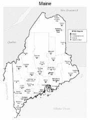
Maine Airports Map
168 miles away
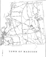
Madison Town Map
168 miles away
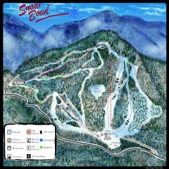
Middlebury Snow Bowl Ski Trail map
Official ski trail map of Middlebury College Snow Bowl ski area.
168 miles away
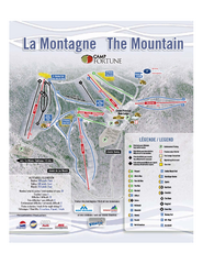
Camp Fortune Ski Trail Map
Trail map from Camp Fortune, which provides downhill skiing. This ski area has its own website.
169 miles away
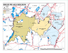
Adirondacks Canoeing Map
Guide to canoeing in the Adirondacks
169 miles away
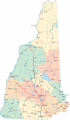
New Hampshire Road Map
Road map of New Hampshire
169 miles away
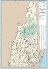
New Hampshire Boating and Fishing Public Access...
Shows public access boating and fishing sites and depth maps for state of New Hampshire
169 miles away
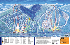
Attitash Ski Trail Map
Trail map from Attitash, which provides downhill skiing.
170 miles away
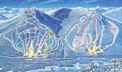
Attitash Bear Peak Ski Trail Map
Official ski trail map of Attitash and Bear Peak ski area from the 2006-2007 season.
170 miles away
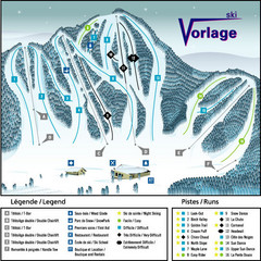
Ski Vorlage Ski Trail Map
Trail map from Ski Vorlage, which provides downhill skiing. This ski area has its own website.
170 miles away
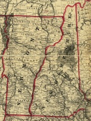
Map of New Hampshire and Vermont 1860
Map of New Hampshire and Vermont, 1860
172 miles away
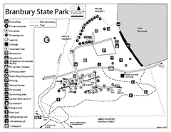
Branbury State Park map
Campground map of Branbury State Park in Vermont
172 miles away
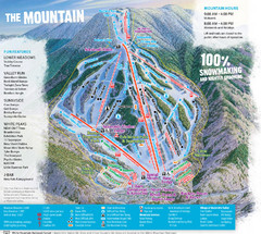
Waterville Valley Ski Trail Map
Trail map from Waterville Valley.
172 miles away
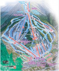
Waterville Valley Ski Trail Map
Official ski trail map of Waterville Valley ski area
172 miles away
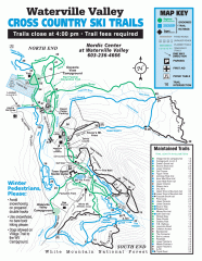
Waterville Valley Nordic Trail Map
Official nordic trail map. Over 70 kilometers (40 + miles) of groomed trails.
173 miles away
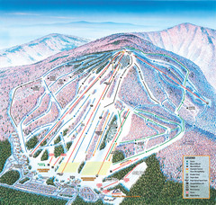
Cranmore Mountain Resort Ski Trail Map
Trail map from Cranmore Mountain Resort.
174 miles away
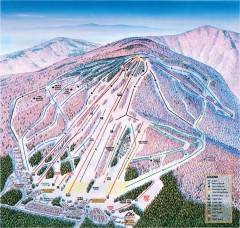
Cranmore Ski Trail Map
Official ski trail map of Cranmore Mountain ski area from the 2007-2008 season.
174 miles away
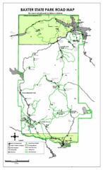
Baxter State Park Road Map
174 miles away
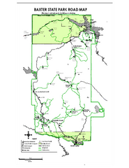
Baxter State Park overview map
Overview map of Baxter State Park. There are 46 mountain peaks and ridges, 18 of which exceed an...
175 miles away
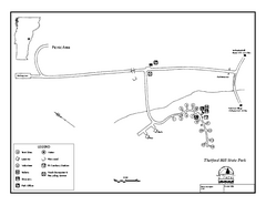
Thetford State Park Campground Map
Campground map for Thetford Hill State Park in Vermont
176 miles away
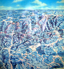
White Mountains New Hampshire Map
Old bird's eye view map of the White Mountain region of New Hampshire by Frank Thomas. Date of...
177 miles away
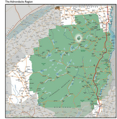
Adirondacks Lakes Map
Guide to lakes and waterways in the Adirondacks Park Preserve
177 miles away
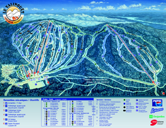
Le Valinouet Ski Trail Map
Trail map from Le Valinouet, which provides downhill and nordic skiing. This ski area has its own...
177 miles away
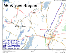
Western Maine, USA Map
Maine Coast Welcome Center's local Map of Western Maine with recommended business locations.
177 miles away
Fort Ticonderoga 1777 Map
179 miles away
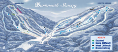
Dartmouth Skiway Ski Trail Map
Trail map from Dartmouth Skiway.
179 miles away
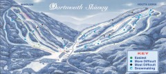
Dartmouth Skiway Trail Map
Official ski trail map of the Dartmouth Skiway. The Skiway is owned by Dartmouth College. Over...
179 miles away
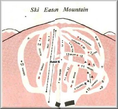
Eaton Mountain Ski Area Ski Trail Map
Trail map from Eaton Mountain Ski Area.
179 miles away
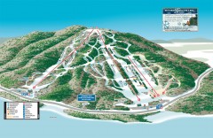
Shawnee Peak Ski Trail Map
Official ski trail map of Shawnee Peak ski area.
180 miles away
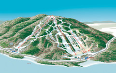
Shawnee Peak Ski Trail Map
Trail map from Shawnee Peak.
180 miles away
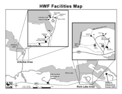
Adirondack Map
Map of Adirondack Park Reserve. Shows Rich Lake Area, Arbutus Area, and the location of the...
181 miles away
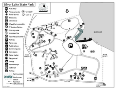
Silver Lake State Park Campground Map
Campground map of Silver Lake State Park in Vermont
181 miles away

Ogdensburg, New York Historical Map
A wonderful highlight are the art reproductions of homes and buildings which surround the map...
182 miles away
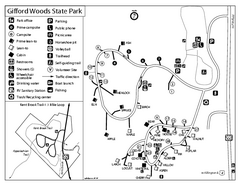
Gifford Woods State Park Campground Map
Campground map of Gifford Woods State Park in Vermont
182 miles away
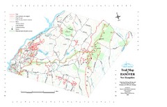
Hanover Trail Map
Recreation trails in Hanover
184 miles away

