
Ski Lakeridge Ski Trail Map
Trail map from Ski Lakeridge, which provides downhill skiing. This ski area has its own website.
356 miles away

Ski Dagmar Ski Trail Map
Trail map from Ski Dagmar, which provides downhill and nordic skiing. This ski area has its own...
356 miles away
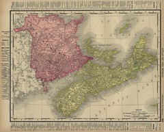
Nova Scotia Map 1896
Nova Scotia and New Brunswick map, 1896
356 miles away
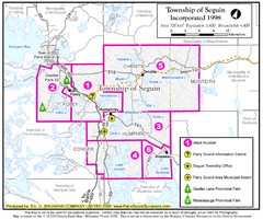
Seguin Township Map
Shows wards and parks in township of Seguin, Ontario.
356 miles away
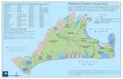
Martha's Vineyard Watershed Map
357 miles away
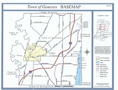
Geneseo Town Map
357 miles away
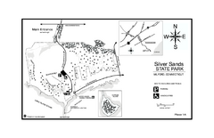
Silver Sands State Park map
Trail and campground map of Silver Sands State Park in Connecticut.
357 miles away
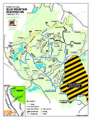
Blue Mountain Reservation Mountain Bike Trail Map
Mountain biking map of the Blue Mountain Reservation from the Westchester Mountain Biking...
358 miles away
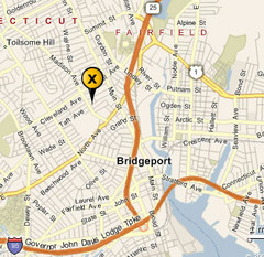
Bridgeport, Connecticut City Map
358 miles away

Ski Big Bear Ski Trail Map
Trail map from Ski Big Bear.
359 miles away
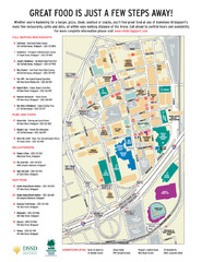
Arena at Harbor Yard Restaurants Map
List of many delicious restaurants and eateries.
360 miles away
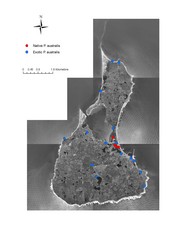
Native and Exotic Phragmites on Block Island Map
361 miles away
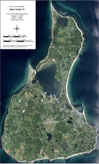
Block Island Aerial Map
Aerial map of Block Island, RI (New Shoreham, RI). True color orthophotography from August 2006.
361 miles away
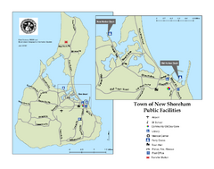
Block Island Road Map
Shows roads and major facilities on Block Island, RI (New Shoreham)
361 miles away
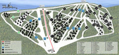
Ski Mont Miller Map
361 miles away
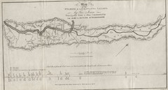
Wyoming and Lackawanna Valleys Map
Railbed from the coal mine at Carbondale to the canal on the Lackawaxen River. Historical map.
362 miles away
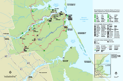
Kouchibouguac National Park Map
Official park map of Kouchibouguac National Park, New Brunswick. Shows hiking trails, services...
362 miles away
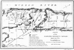
Harlem Hieghts Affair Map
Topography of the field during the battle on Sept 16 1776
362 miles away
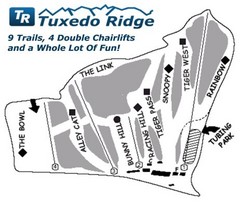
Tuxedo Ridge Ski Trail Map
Trail map from Tuxedo Ridge.
363 miles away
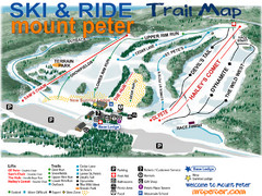
Mt. Peter Ski Area Ski Trail Map
Trail map from Mt. Peter Ski Area.
364 miles away
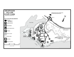
Sherwood Island State Park map
Trail and campground map of Sherwood Island State Park in Connecticut.
364 miles away
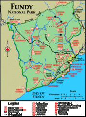
Fundy National Park Map
Official Parks Canada park map of Fundy National Park, New Brunswick. Shows trails, camping spots...
364 miles away
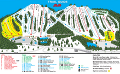
Mount St. Louis/ Moonstone Ski Trail Map
Trail map from Mount St. Louis/ Moonstone, which provides downhill skiing. This ski area has its...
365 miles away
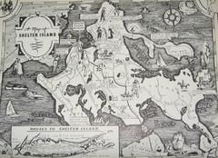
Shelter Island Map
Old Shelter Island map circa 1930s
365 miles away
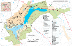
Lackawanna State Park Map
Detailed map of Lackawanna State Park in Pennsylvania.
366 miles away

Tanglwood Ski Area Ski Trail Map
Trail map from Tanglwood Ski Area, which provides downhill, night, and terrain park skiing. It has...
366 miles away

Georgina Historic Lakeshore Communities Map
366 miles away

Bath-Hornell Bus Route Map
367 miles away
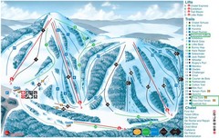
Heights of Horseshoe Ski Trail Map
Trail map from Heights of Horseshoe, which provides downhill skiing. This ski area has its own...
367 miles away
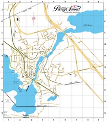
Parry Sound Town Map
367 miles away
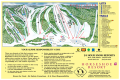
Horseshoe Resort Ski Trail Map
Trail map from Horseshoe Resort, which provides downhill and nordic skiing. This ski area has its...
367 miles away
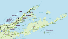
Long Island Wineries Map
Map of LIWC member wineries offering wine tastings to the public.
368 miles away

Eastern Long Island Placemat map
Photo of a placemat map from Gosman's Dock Restaurant in Montauk, NY. Shows eastern Long...
368 miles away
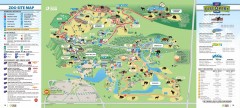
Toronto Zoo Map
Official map of the Toronto Zoo
368 miles away
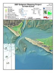
Esther Island Map
DEP Eelgrass map of Esther Island, Nantucket
369 miles away

1978 Bradford County, Pennsylvania Map
370 miles away

Hidden Valley Ski Trail Map
Trail map from Hidden Valley.
370 miles away

Mountain Creek South Ski Trail Map
Trail map from Mountain Creek.
370 miles away
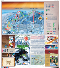
Mountain Creek North Ski Trail Map
Trail map from Mountain Creek.
370 miles away


