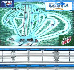
Mont Kanasuta Ski Trail Map
Trail map from Mont Kanasuta, which provides downhill skiing. This ski area has its own website.
345 miles away
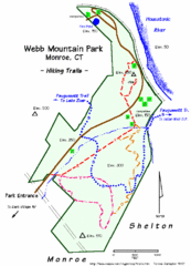
Webb Moutain Park Map
346 miles away
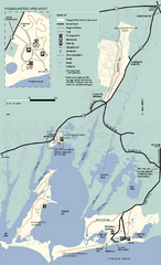
Waquoit Bay National Estuarine Research Preserve...
Trail map of Waquoit Bay National Estuarine Research Preserve in Massachusetts.
346 miles away
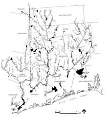
Rhode Island Coastal Watershed Map
Paddling Guide of Pawcatuck River Watershed
346 miles away
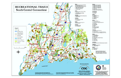
South Central Connecticut Recreational Trail Map
Map of South Central Connecticut showing all recreational trails and open spaces.
346 miles away
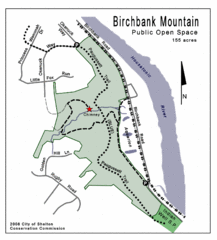
Birchbank Park Map
346 miles away
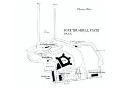
Fort Trumbull State Park map
Map of Fort Trumbull State Park in Connecticut.
347 miles away
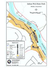
Indian Well State Park map
Trail map for Indian Well State Park in Connecticut.
347 miles away
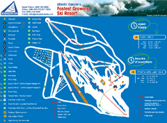
Poley Mountain Ski Trail Map
Trail map from Poley Mountain, which provides downhill skiing. This ski area has its own website.
347 miles away
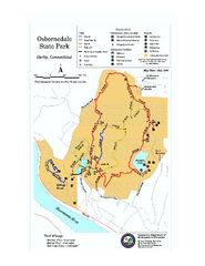
Osbornedale State Park map
Trail map of Osborndale State Park in Connecticut.
348 miles away
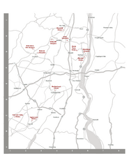
Shawangunk Wine Trail Map
Map of the Shawangunk Wine Trail on the Hudson River in New York. Shows all vineyards and wineries...
348 miles away
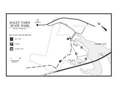
Haley Farm State Park map
Trail map of Haley Farm State Park in Connecticut.
348 miles away
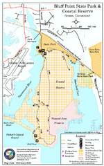
Bluff Point State Park map
Trail map for Bluff Point State Park and Coastal Reserve.
348 miles away
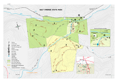
Salt Springs State Park map
Detailed recreation map of Salt Spring State Park in Pennsylvania.
349 miles away
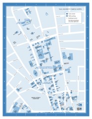
Yale University Campus North Map
Yale University Campus Map - North Campus, including School of Forestry & Environmental Studies...
349 miles away
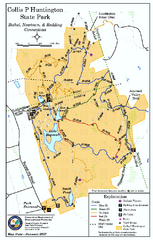
Collis P. Huntington State Park map
Trail map of Collis P. Huntington State Park in Connecticut
349 miles away
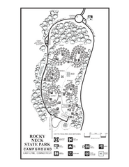
Rocky Neck State Park campground map
Campground map of Rocky Neck State Park in Connecticut.
349 miles away
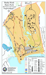
Rocky Neck State Park trail map
Trail map of Rocky Neck State Park in Connecticut.
349 miles away
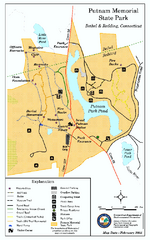
Putnam Memorial State Park map
Trail map for Putnal Memorial State Park in Connecticut,
349 miles away
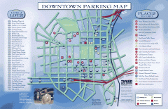
Downtown New Haven Parking Map
Shows locations of all town parking lots and also points of interest
349 miles away
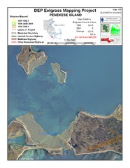
Penekese Island Eelgrass Map
349 miles away

Yale University Map
349 miles away
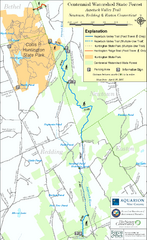
Centennial Watershed State Forest trail map
Trail map of Centennial Watershed State Forest in Connecticut
349 miles away
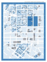
Yale University Campus South and Medical Center...
Yale University Campus South and Medical Center, including the Hewitt Quad, Cross Campus, Old Campus
349 miles away
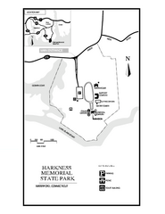
Harkness Memorial State Park map
Trail map of Harkness Memorial State Park in Connecticut.
349 miles away
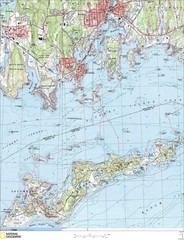
Fishers Island Map
In Long Island Sound
350 miles away
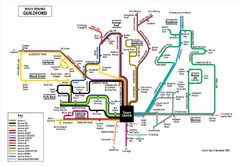
Guilford Bus Services Map
350 miles away
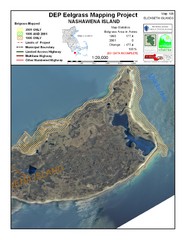
Nashawena Island Eelgrass Map
350 miles away
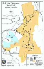
Seth Low Pierrepont State Park Reserve map
Trail map of Seth Low Pierreport State Park in Connecticut.
351 miles away

Hammonasset Beach State Park map
Trail map for Hammonasset Beach State Park in Connecticut.
352 miles away

Hammonasset Beach State Park campground map
Campground map of Hammonasset State Park in Connecticut.
352 miles away
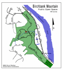
Birchbank Park Map
Several miles of moderately difficult trails along the Housatonic River bluff, including the...
352 miles away

Digital Elevation Model (DEM) of Conesus Lake Map
Digital Elevation Model (DEM) of Conesus Lake Map created in ARC Gis
353 miles away
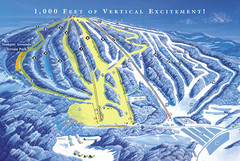
Elk Mountain Ski Trail Map
Trail map from Elk Mountain.
354 miles away

Hunt Hollow Ski Trail Map
Trail map from Hunt Hollow.
354 miles away
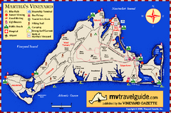
Martha's Vineyard Island Map
Tourist map of island of Martha's Vineyard, Massachusetts.
354 miles away
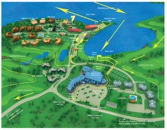
Subaru Ironman Full Resort Map
Overview of Staging areas for Ironman race,
355 miles away
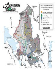
Trout Brook Valley Map
355 miles away
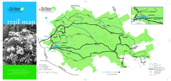
Devil's Den Preserve Map
355 miles away

