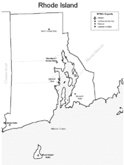
Rhode Island Airports Map
334 miles away
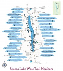
Seneca Lake Wine Trail Map
Winery tour map of Seneca Lake area in New York. Shows all vineyards that are members of the wine...
334 miles away
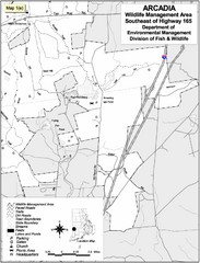
Arcadia Wildlife Management Area Map - Southeast
Reference map shows portion of Arcadia Wildlife Management Area, Rhode Island southeast of Highway...
334 miles away
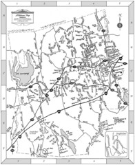
Middlebury, Connecticut Map
335 miles away

Oshawa Ski Club Ski Trail Map
Trail map from Oshawa Ski Club, which provides downhill skiing. This ski area has its own website.
335 miles away
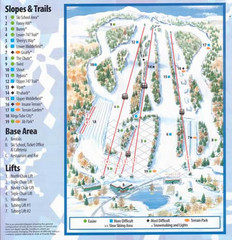
Powder Ridge Ski Area Ski Trail Map
Trail map from Powder Ridge Ski Area.
336 miles away
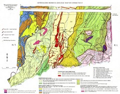
Connecticut Geologic Map
Geologic map of Connecticut bedrock. Shows shaded terranes, fault lines, and Mesozoic formations.
336 miles away
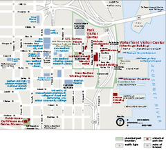
New Bedford Whaling National Historical Park...
Official NPS map of New Bedford Whaling National Historical Park in Massachusetts. Map shows all...
336 miles away
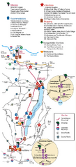
Canadaigua Wine Trail Map
Map of the Canadaigua Wine Map in Canadaigua, New York. Shows all wineries and vineyards in the...
336 miles away
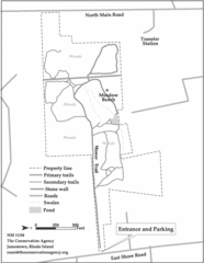
Parker Farm Trail Map
337 miles away
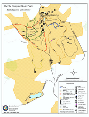
Devils Hophard State Park map
Trail and camprground map for Devils Hopyard State Park in Connecticut.
337 miles away
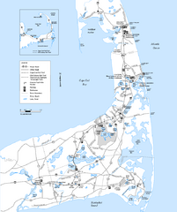
Cape Cod Rail Trail, Cape Cod, Massachusetts Map
Map of the Cape Cod Rail Trail bike path. Shows trails, restrooms, other roads and parking.
338 miles away
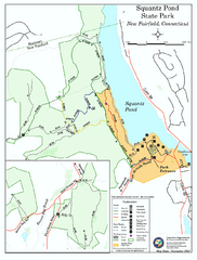
Squantz Pond State Park map
Trail and campground map for Squantz Pond State Park in Connecticut.
338 miles away
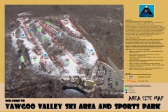
Yawgoo Valley Ski Trail map
Map of Yawgoo Valley Ski area in Exeter, Rhode Island. It is the only skiing resort in Rhode...
338 miles away
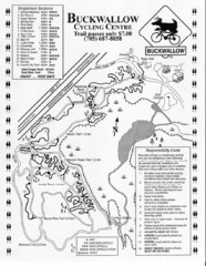
Buckwallow Trail Map
Biking trail map for Buckwallow Cycling Center
338 miles away
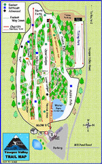
Yawgoo Valley Ski Area Ski Trail Map
Trail map from Yawgoo Valley Ski Area.
338 miles away
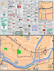
Binghampton Bus Route Map
338 miles away
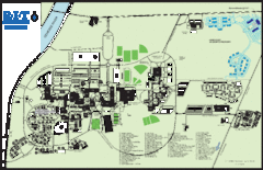
Rochester Institute of Technology Campus Map
Map of RIT campus.
338 miles away

Cockaponset State Forest North Section trail map
Trail map for the north section of Cockaponset State Forest in Connecticut
338 miles away
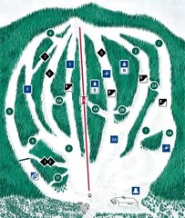
CPA Haute Gaspesie Ski Trail Map
Trail map from CPA Haute Gaspesie, which provides downhill skiing. This ski area has its own...
339 miles away
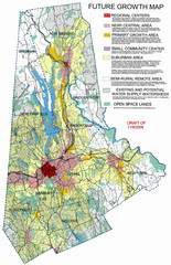
Danbury Regional Growth Map
Guide to future growth of Danbury, CT and surrounds
339 miles away
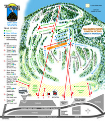
Thunder Ridge Ski Trail Map
Trail map from Thunder Ridge.
339 miles away
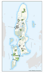
Conanicut Island Land Trust Map
Shows 430 acres of property on Conanicut Island, RI stewarded by the Conanicut Island Land Trust
339 miles away
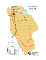
Southford Falls State Park map
Trail map for Southford Falls State Park in Connecticut.
340 miles away
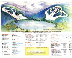
Mount Tone Ski Trail Map
Trail map from Mount Tone.
340 miles away
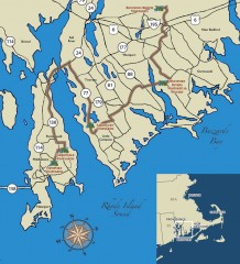
Southeastern New England Wine Trail Map
Map of the Southeastern New England Wine Trail, showing all vineyards and wineries that are members...
341 miles away
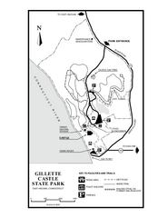
Gillette State Park trail map
Trail map of Gillette Castle State Park in Connecticut.
341 miles away
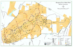
Sleeping Giant State Park map
Trail map for Sleeping Giant State Park in Connecticut.
341 miles away

Cockaponset State Forest South Section trail map
Trail map for the South Section of Cockaponset State Forest in Connecticut.
341 miles away
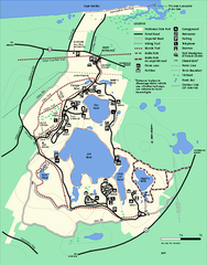
Nickerson State Park trail map
Trail map of Nickerson State Park in Massachusetts.
342 miles away
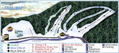
Holiday Mountain Ski Trail Map
Official ski trail map of Holiday Mountain ski area
342 miles away
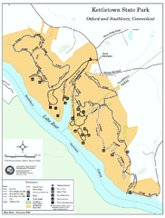
Kettletown State Park trail map
Trail map for Kettletown State Park in Connecticut.
342 miles away
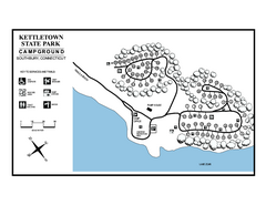
Kettletown State Park campground map
Campground map for Kettletown State Park in Connecticut.
343 miles away
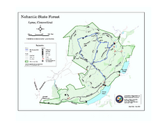
Nehantic State Forest map
Trail map of Nehantic State Forest in Connecticut.
343 miles away
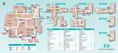
Cape Cod Hospital Map
Campus map of Cape Cod Hospital
344 miles away

Cape Cod Hospital Map
Map of external vicinity of Cape Cod Hospital
344 miles away
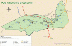
Gaspesie National Park Map - Summer
Official SEPAQ map of Gaspesie National Park in the Gaspe Peninsula, Quebec. Show trails, huts...
344 miles away
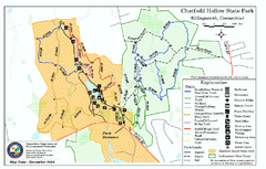
Chatfield Hollow State Park map
Trail map of Chatfield Hollow State Park
345 miles away

Bristol Mountain Ski Resort Ski Trail Map
Trail map from Bristol Mountain Ski Resort.
345 miles away
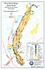
West Rock Ridge State Park map
Trail map of West Rock Ridge State Park in Connecticut.
345 miles away

