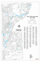
West Warwick Town Map
Street map of W. Warwick
326 miles away
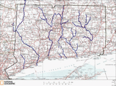
Connecticut Rivers and Coastal Paddling Map
This is a map of paddling areas for rivers and coastal kayaking. Follow the link below for...
326 miles away
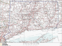
Connecticut Rock Climbing Locations Map
A map of most of the important rock climbing and bouldering areas in Connecticut. Click the link...
327 miles away
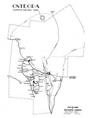
Onteora District Map
Boy Scouts Map of Onteora
327 miles away
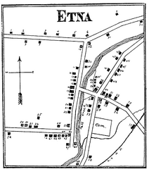
Etna 1897 City Map
Key to the Map of Etna (1897) 1. Mrs. C. Turner. 38. Blacksmith Shop. 2. J. T. Primrose. 39. Houtz...
328 miles away
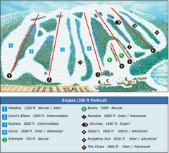
Devil’s Elbow Ski Trail Map
Trail map from Devil’s Elbow, which provides downhill skiing. This ski area has its own website.
328 miles away
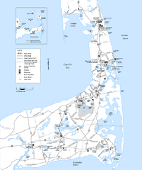
Cape Cod Rail Trail Map
Cape Cod Rail Trail map. The Cape Cod Rail Trail follows a former railroad right-of-way for 22...
328 miles away
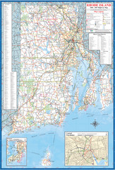
Rhode Island Road Map
Official Rhode Island state highway map. Insets show Newport and Providence.
328 miles away
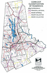
Connecticut Roadway Classification Map
329 miles away
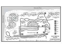
Salt Rock State Park campground map
Campground Map of Salt Rock State Campground in Connecticut.
329 miles away
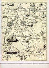
Wellfleet 1930s Tourist Map
A tourist map from the 1930s of Wellfeet, Massachusetts in Cape Cod. Courtesy of Cynthia Blakeley
329 miles away
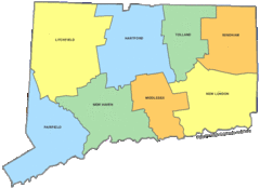
Connecticut Counties Map
329 miles away
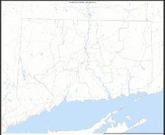
Connecticut Zip Code Map
Check out this Zip code map and every other state and county zip code map zipcodeguy.com.
329 miles away
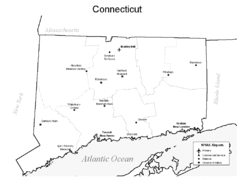
Conneticut Airports Map
329 miles away
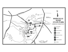
Hopeville Pond State Park trail map
Trail map for Hopevill Pond State Park in Connecticut
330 miles away
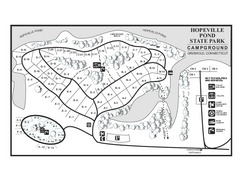
Hopeville Pond campground map
Campground map of Hopeville Pond State Park in Connecticut.
330 miles away
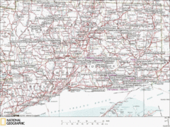
Connecticut Canoeing and Kayaking Lakes Map
A map of the lakes and ponds that are open for canoeing and kayaking in Connecticut. For detailed...
330 miles away
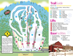
Mt. Southington Ski Area Ski Trail Map
Trail map from Mt. Southington Ski Area, which provides downhill, night, and terrain park skiing...
330 miles away
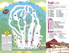
Mount Southington Ski Trail Map
Official ski trail map of Mount Southington ski area from the 2007-2008 season.
330 miles away

St. John Fisher College Map
Campus map
331 miles away
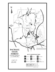
Pachaug State Forest map
Trail map of Pachaug State Forest in Connecticut.
331 miles away
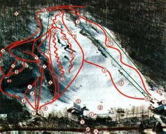
Woodbury Ski Area Ski Trail Map
Trail map from Woodbury Ski Area, which provides downhill, night, nordic, and terrain park skiing...
331 miles away

Salmon River State Forest trail map
Trail map for Salmon River State Forest in Connecticut.
331 miles away
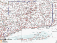
Connecticut State Parks Map
This is statewide map for Connecticut state parks. Go to the source website for detailed hiking...
332 miles away
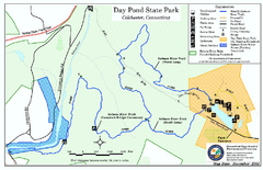
Daypond State Park map
Trail map for Day Pond State Park
332 miles away
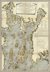
Narrangansett Bay Map 1777
"A Topographical CHART of the BAY of NARRAGANSET in the Province of NEW ENGLAND. with the...
332 miles away
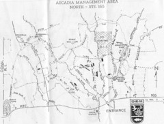
Arcadia Management Area State Map
Trail map for Arcadia Management Area in Rhode Island
332 miles away
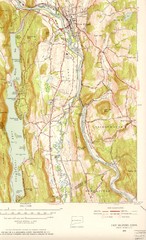
New Milford, Connecticut Map
New Milford, Connecticut topo map with roads, streets and buildings identified
332 miles away
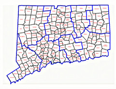
Connecticut Town Map
332 miles away
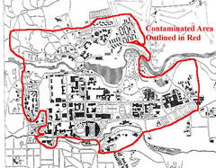
Map of Water contamination at Cornell University...
332 miles away

Downtown Rochester, New York Map
Tourist map of downtown Rochester, New York. Various areas of interest, parking, and streets are...
332 miles away
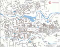
Cornell Campus Map
Map of Cornell University's Ithaca campus
333 miles away

Cornell University Map
333 miles away
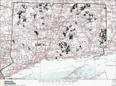
Connecticut State Forests Map
This is a map of all of the state forest boundaries in Connecticut. Follow the source web address...
333 miles away

Rochester, New York City Map
333 miles away
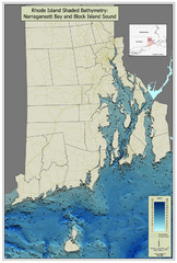
Rhode Island Shaded Bathymetry Map
Bathymetric map of Rhode Island with Narrangansett Bay and Rhode Island Sound. Graduated...
333 miles away
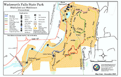
Wadsworth Falls State Park map
Trail map of Wadsworth Falls State Park in Connecticut.
334 miles away
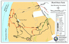
Hurd State Park trail map
Trail map for Hurd State Park in Connecticut.
334 miles away
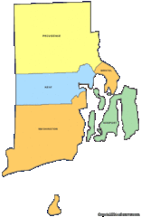
Rhode Island Counties Map
334 miles away

