
South Mohawk Mountain State Forest (Winter Trails...
Winter trial map for the Southern Section of Mohawk Mountain State Forest in Connecticut.
316 miles away
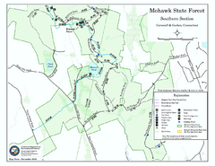
South Mohawk Mountain State Forest (Summer Trails...
Summer trails for South Mohawk State Forest in Connecticut.
317 miles away
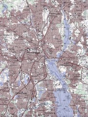
Providence Topo Map
Topo map of Providence, East Providence, Cranston, and Pawtucket, RI. Original scale 1:50,000
317 miles away
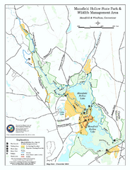
Mansfield Hollow State Park map
Map for Mansfield Hollow State Park and Wildlife Management Area in Connecticut.
317 miles away

Wadsworth Athenium Museum Location Map
Wadsworth Athenium visitor location map with locations of major buildings, streets, parks, and...
317 miles away
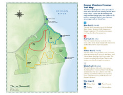
Esopus Meadows Preserve Trail Map
Trail map of Esopus Meadows Preserve park on the Hudson River.
318 miles away
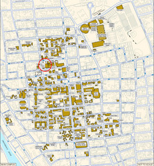
Providence, Rhode Island City Map
318 miles away
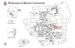
Brown University Map
318 miles away
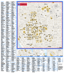
Brown University Campus Map
Official campus map of Brown University.
318 miles away
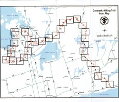
Ganaraska Hiking Trail Map
Map of the hiking trail at Ganaraska forest in Canada. Shows roads, surrounding lakes, towns and...
319 miles away
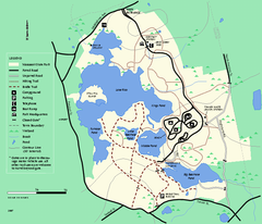
Massasoit State Park trail map
Trail map of Massasoit State Park in Massachusetts
319 miles away
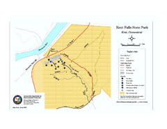
Kent Falls State Park trail map
Trail map of Kent Falls State Park in Connecticut.
319 miles away
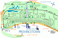
Provincetown, Massachusetts Map
Tourist map of Provincetown, Massachusetts. Shows beaches, visitor's center, bike trails, and...
320 miles away
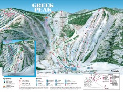
Greek Peak Ski Trail Map
Official ski trail map of Greek Peak ski area from the 2006-2007 season.
320 miles away

Greek Peak Ski Resort Ski Trail Map
Trail map from Greek Peak Ski Resort.
320 miles away
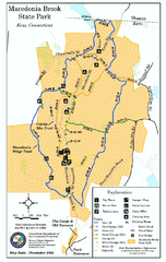
Macedonia Brook State Park trail map
Trail map of Macedonia Brook State Park in Connecticut.
320 miles away
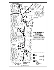
Macedonia Brook State Park campground map
Campground map for Macedonia Brook State Park in Connecticut.
320 miles away
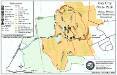
Gay City State Park trail map
Trail map of Gay City State Park in Connecticut.
320 miles away
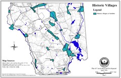
Historic Villages of Mansfield, Connecticut Map
Historical villages outlined on the map of the existing city.
320 miles away
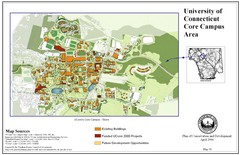
University of Connecticut Campus Map
Map shows current, funded projects and future development for UConn.
320 miles away

Topsmead State Forest map
Trail map for Topsmead State Forest in Connecticut.
320 miles away
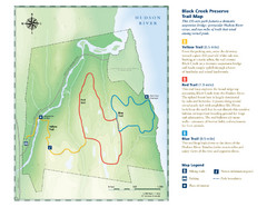
Black Creek Trail Preserve Map
Trail map of Black Creek Preserve on the Hudson River in New York. Shows Yellow Trail, Red Trail...
321 miles away
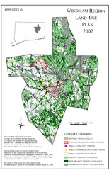
2002 Windham Region Land Use Map
Regional Land Use Guide Map for Planning Purposes
321 miles away
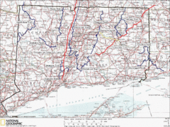
Connecticut Long Distance Trails Map
A map of long distance trails throughout Connecticut. Go to the website below for detailed trail...
322 miles away
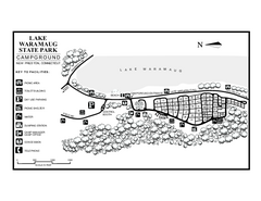
Lake Waramaug State Park campground map
Campground map of Lake Waramaug State Park.
324 miles away
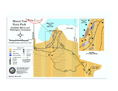
Mount Tom State Park trail map
Trail map of Mt. Tom State Park in Connecticut.
324 miles away
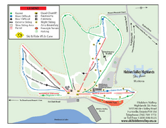
Hidden Valley Highlands Ski Trail Map
Trail map from Hidden Valley Highlands, which provides downhill skiing. This ski area has its own...
324 miles away

Brighton-Township, Ontario Map
324 miles away
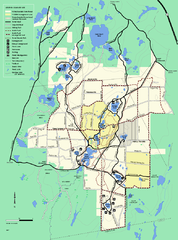
Myles Standish State Forest trail map
Summer trail map for Myles Standish State Forest.
324 miles away
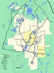
Myles Standish State Forest Winter trail map
Myles Standish State Forest winter use trail map.
325 miles away
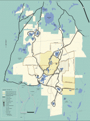
Myles Standish State Forest winter trail map
Winter activity map of all the trails and roads in Myles Standish State Park, MA. Cross country...
325 miles away
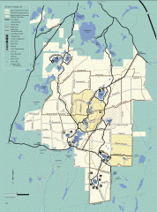
Myles Standish State Forest summer trail map
Map of all the trails and roads in Myles Standish State Park, MA. 15 miles of bicycle trails, 35...
325 miles away
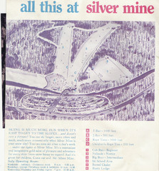
Silver Mine Credit to chris lundquist Ski Trail...
Trail map from Silver Mine, which provides downhill skiing.
325 miles away
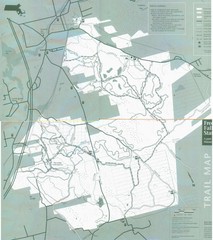
Freetown State Forest Map
Freetown State Forest Map showing mountain biking trails
325 miles away
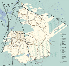
Freetown-Fall River State Forest trail map
Trail map of Freetown-Fall River State Forest in Massachusetts
325 miles away
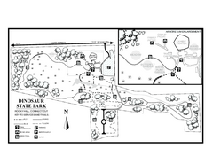
Dinosaur State Park map
Trail map of Dinosaur State Park in Connecticut.
325 miles away
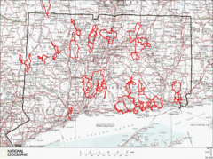
Connecticut Road Cycling Routes Map
A map of road cycling routes throughout Connecticut. Follow the link below for detailed route maps...
325 miles away
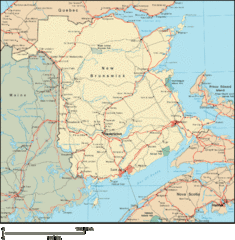
New Brunswick Map
Detailed New Brunswick Map
326 miles away
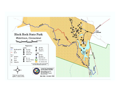
Black Rock State Park trail map
Trail map of Black Rock State Park in Connecticut.
326 miles away
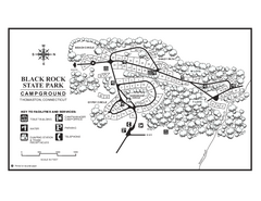
Black Rock Campground map
Map of the Campgrounds in Black Rock State Park.
326 miles away

