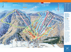
Windham Mountain Ski Trail Map
Trail map from Windham Mountain.
293 miles away
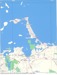
Hull Town Map
293 miles away
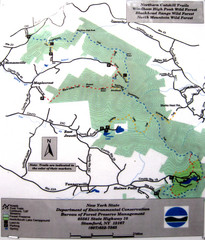
Northern Catskill Trail Map
Trail map shows hiking trails in the northern Catskills of New York. Shows trails in Windham High...
294 miles away
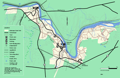
Robinson State Park trail map
Trail map of Robinson State Park in Massachusetts.
295 miles away
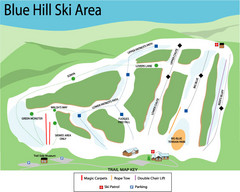
Blue Hills Ski Area Ski Trail Map
Trail map from Blue Hills Ski Area.
295 miles away
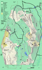
Mt. Washington State Forest trail map
Trail map of Mt. Washington State Forest
295 miles away
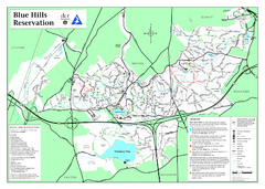
Blue Hills State Park Map
Clearly marked state park map of this beautiful state park.
295 miles away
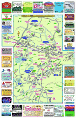
Columbia County - Boston Corners, Copake, Copake...
Tourist map of Columbia County, Mass. Includes towns of Boston Corners, Copake, Copake Falls...
295 miles away
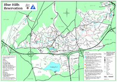
Blue Hills Reservation Trail Map
Trail map of the Blue Hills Reservation in Massachusetts
295 miles away
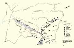
Purgatory Chasm State Reservation trail map
Trail map of Purgatory Chasm State Reservation in Massachusetts.
295 miles away
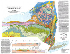
New York State Geologic Map
1:1,000,000 scale geological map of New York State
296 miles away
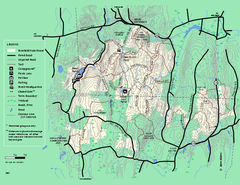
Brimfield State Forest trail map
Trail map of Brimfield State Forest in Massachusetts
296 miles away
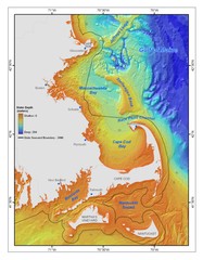
Massachusetts Bay sea floor Map
296 miles away
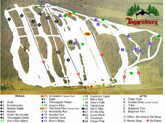
Toggenburg Ski Center Ski Trail Map
Trail map from Toggenburg Ski Center.
296 miles away

Six Flags New England Theme Park Map
Official Park Map of Six Flags New England in Massachusetts.
296 miles away
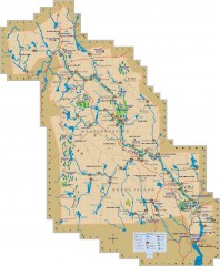
Blackstone Valley tourist map
Tourist map of the Blackston Valley in Rhode Island and Massachusetts. Shows hiking, biking, and...
297 miles away
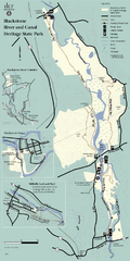
Heritage State Park Map
Clear state park map marking trails and facilities.
297 miles away
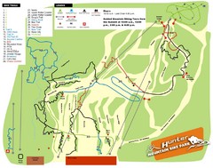
Hunter Mountain Bike Park Map
Map of bike trails in park
297 miles away
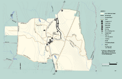
Granville State Forest trail map
Trail map of Granville State Forest in Massachusetts
297 miles away
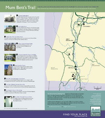
Mum Bett's Trail Map
Historic African American trail guide
298 miles away
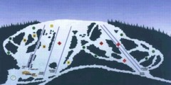
Sir Sam’s Ski Area Ski Trail Map
Trail map from Sir Sam’s Ski Area, which provides downhill skiing. This ski area has its own...
299 miles away
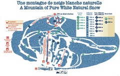
Mont Restigouche Ski Trail Map
Trail map from Mont Restigouche.
299 miles away
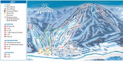
Hunter Mountain ski trail map
Official ski trail map of Hunter Mountain ski area from the 2006-2007 season.
299 miles away
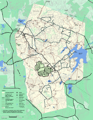
Wompatuck State Park trail map
Trail map of Wompatick State Park in Massachusetts.
299 miles away

Mine Brook Wildlife Management Area Map
299 miles away
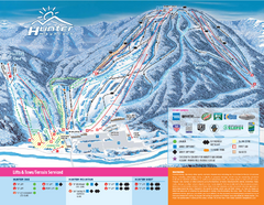
Hunter Mountain Ski Bowl Ski Trail Map
Trail map from Hunter Mountain Ski Bowl.
299 miles away
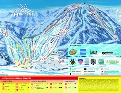
Hunter Mountain Trail Map
299 miles away
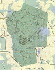
Wompatuck Park Trail Map
Map of Wompatuck Park including trails and roads and park features
299 miles away
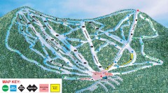
Plattekill Ski Trail Map
Official ski trail map of Plattekill ski area from the 2007-2008 season.
300 miles away
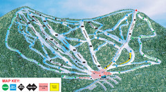
Ski Plattekill Ski Trail Map
Trail map from Ski Plattekill.
300 miles away
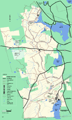
Douglas State Forest trail map
Trail map of the Douglas State Forest in Massachusetts
300 miles away
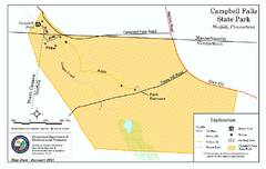
Cambell Falls State Park map
Trail map of Campbell Falls State Park Reserve in Connecticut
300 miles away
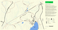
Douglas State Park Detail Map
300 miles away
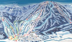
Hunter Mountain Trail Map
Ski trail map
300 miles away
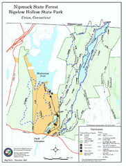
Bigelow Hollow State Park trail map
Trail map of Bigelow Hollow State Park in Connecticut.
301 miles away
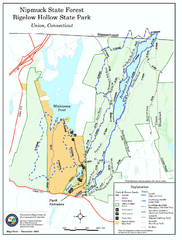
Nipmuck State Forest trail map
Trail map of Nipmuck State Forest and Bigelow Hollow State Park in Connecticut.
302 miles away
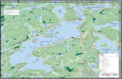
Kennisis Lakes Map
Panoramic topo map of Kennisis Lakes region
302 miles away
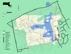
Ames Nowell State Park Map
Trail map of Ames Nowell State Park in Massachusetts
303 miles away
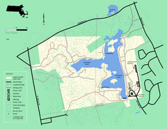
Ames Nowell State Park Map
Simple map of this beautiful state park. Visit and hike, bike, and shop!
303 miles away

